Grizzly Peak
6,222 ft1,897 m
山 · シエラネバダ山脈 · アメリカ合衆国
Grizzly Peak in Yosemite Valley is a promontory on the southwest wall below the popular Half Dome. It can be seen on the hike to Vernal Fall and Nevada Fall, from northeastern Glacier Point, and various other locations in the Yosemite Valley.
出典: Wikipedia、CC BY-SA · 記事を読む
山頂 · 21:00 の予報
41 °F曇り · 南東の風 6 mph
 3D で見る
Grizzly Peak 山頂の天気(6,222 ft)
- 21:0041 °F南東 6 mph0.02 インチ
- 0:0039 °F東 7 mph0.06 インチ
- 3:0039 °F南 5 mph0.03 インチ
- 6:0039 °F南東 5 mph0.02 インチ
- 9:0041 °F南西 4 mph0.04 インチ
- 12:0042 °F南西 5 mph0.04 インチ
- 15:0041 °F西 6 mph0.01 インチ
- 18:0040 °F南東 3 mph–
| 日付 | 天気 | 最高 / 最低 | 雨 | 最大風速 |
|---|---|---|---|---|
| 10月30日(金) | 雨 | 42 °F / 38 °F | 0.2 インチ | 7 mph |
| 10月31日(土) | 雨 | 43 °F / 35 °F | 0.84 インチ | 8 mph |
| 11月1日(日) | 小雨 | 40 °F / 21 °F | 0.85 インチ | 7 mph |
| 11月2日(月) | 晴れ | 53 °F / 13 °F | – | 4 mph |
| 11月3日(火) | 快晴 | 59 °F / 30 °F | – | 3 mph |
| 11月4日(水) | 雨 | 47 °F / 31 °F | 0.1 インチ | 5 mph |
| 11月5日(木) | 強い雨 | 46 °F / 26 °F | 0.26 インチ | 6 mph |
MET Norway(CC BY 4.0)による予報。18:19 GMT-7 更新。時刻は現地時間です。
基本データ
- 種類
- 山
- 標高
- 6,222 ft (1,897 m)
- プロミネンス
- 182 ft (56 m)
- 山脈
- シエラネバダ山脈
- 初登頂
- 1885
- 座標
- 37.730°N 119.551°W
Grizzly Peak (Mariposa County, California)
Mountain in California, United States
Grizzly Peak in Yosemite Valley is a promontory on the southwest wall below the popular Half Dome. It can be seen on the hike to Vernal Fall and Nevada Fall, from northeastern Glacier Point, and various other locations in the Yosemite Valley. The top is not accessible by any trail, although rock climbers frequent the peak.
出典: Wikipedia、CC BY-SA · 記事を読む
Grizzly Peak周辺の山
- Mount Broderick6,706 ft · 1.5 km先地図上
- Liberty Cap7,080 ft · 1.6 km先地図上
- ハーフドーム8,835 ft · 2.4 km先地図上
- Basket Dome7,612 ft · 3.8 km先地図上
- Mount Starr King9,096 ft · 4.2 km先地図上
- West Quarter Dome8,169 ft · 4.7 km先地図上
- Lost Arrow Spire6,657 ft · 4.8 km先地図上
- Eagle Peak7,783 ft · 5.9 km先地図上
- Clouds Rest9,925 ft · 6.9 km先地図上
- Olmsted Point8,202 ft · 11 km先地図上
シエラネバダ山脈の最高峰
- ホイットニー山14,505 ft地図上
- ウィリアムソン山14,403 ft地図上
- Mount Russell14,094 ft地図上
- Mount Langley14,032 ft地図上
- ティンダル山14,025 ft地図上
- Mount Humphreys13,992 ft地図上
- Mount Keith13,982 ft地図上
- Mount LeConte13,936 ft地図上
- Grizzly Peak6,222 ft地図上
アメリカ合衆国の高い山
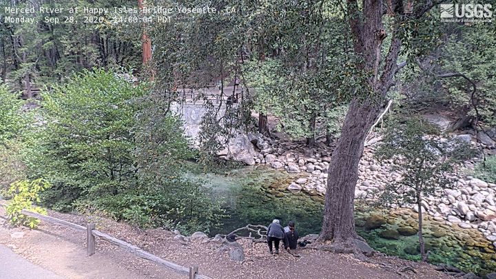
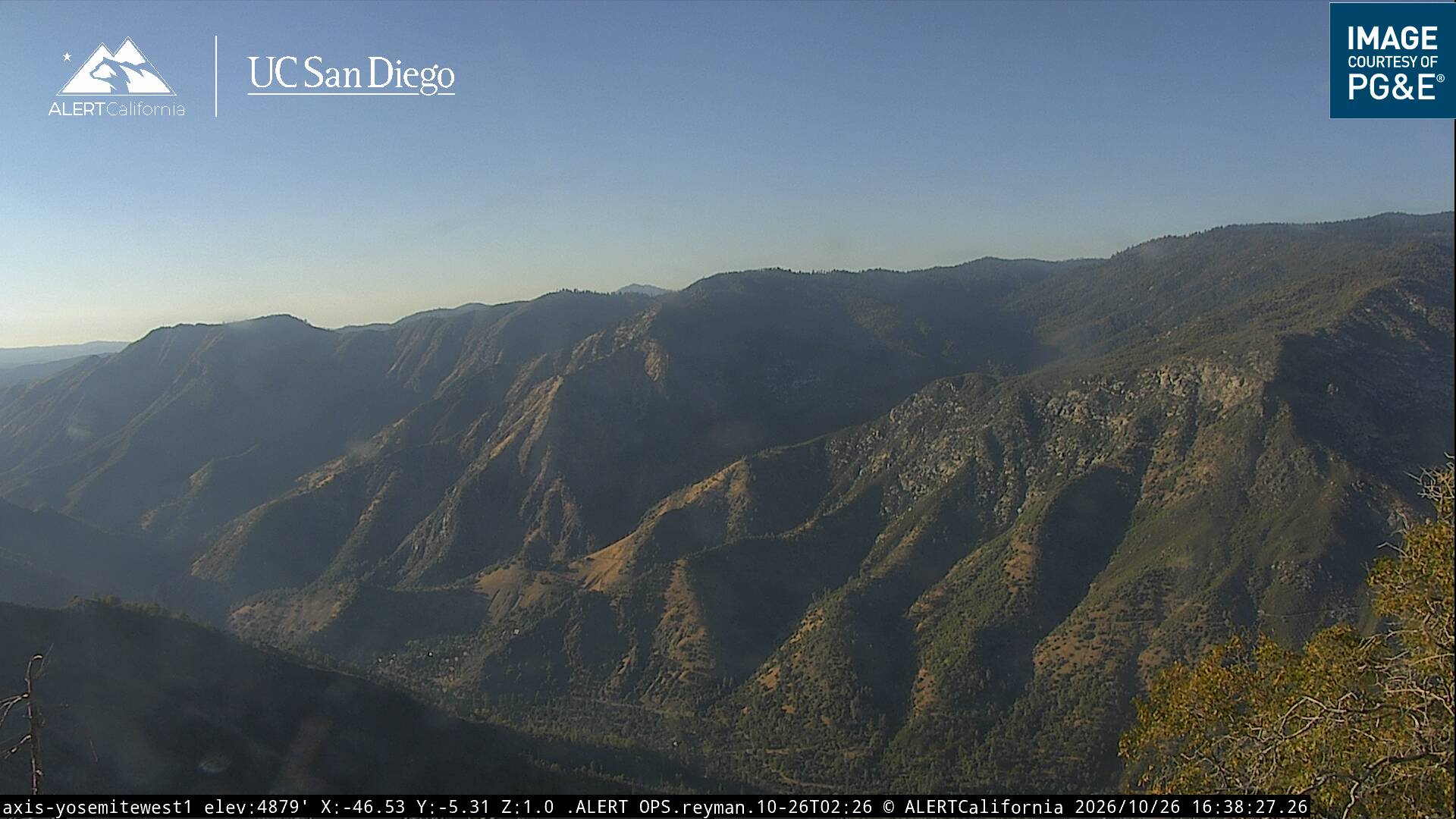
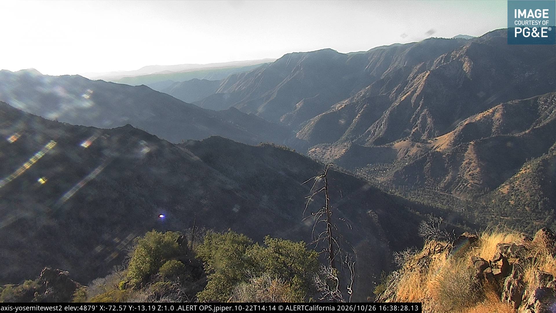
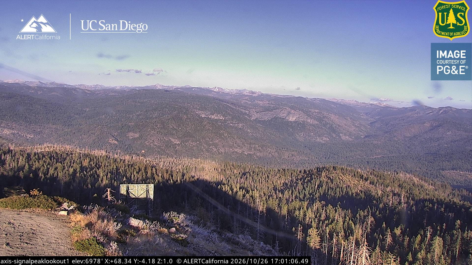
Grizzly Peak周辺のライブカメラ
Grizzly Peak周辺の歴史
- Dome Fire2026
- Pika Fire2023
- Red Fire2022
- Empire Fire2017
- Meadow Fire2014
- 1938 Yosemite TWA crash1938
Grizzly Peak周辺の町
- Mammoth Lakes51 km先
- Sonora78 km先