Hermannsdalstinden
1,029 m3,376 ft
山 · スカンディナヴィア山脈 · ノルウェー
Hermannsdalstinden is the highest mountain on the island of Moskenesøya. It is located in the Lofoten archipelago in Moskenes Municipality in Nordland county, Norway. The 1,029-metre (3,376 ft) tall mountain lies on the west side of the island, about 6.5 kilometres (4.0 mi) west of the municipal centre of Reine.
出典: Wikipedia、CC BY-SA · 記事を読む
山頂 · 1:00 の予報
2 °C雨 · 南の風 29 km/h
 3D で見る
Hermannsdalstinden 山頂の天気(1,029 m)
- 1:002 °C南 29 km/h0.7 mm
- 4:003 °C南 37 km/h–
- 7:002 °C南西 43 km/h–
- 10:002 °C南西 44 km/h–
- 13:002 °C南西 48 km/h–
- 16:001 °C南 45 km/h3.2 mm
- 19:001 °C南西 46 km/h2.3 mm
- 22:001 °C南西 58 km/h0.8 mm
| 日付 | 天気 | 最高 / 最低 | 雨 | 最大風速 |
|---|---|---|---|---|
| 今日 | 晴れ時々曇り | 3 °C / 1 °C | 6.9 mm | 58 km/h |
| 10月29日(木) | みぞれ | 1 °C / 1 °C | 8.1 mm | 53 km/h |
| 10月30日(金) | 曇り | 2 °C / 1 °C | – | 30 km/h |
| 10月31日(土) | 晴れ時々曇り | 3 °C / 2 °C | 4.7 mm | 40 km/h |
| 11月1日(日) | 晴れ時々曇り | 2 °C / 1 °C | 7.5 mm | 33 km/h |
| 11月2日(月) | 曇り | 1 °C / -0 °C | 8.9 mm | 35 km/h |
| 11月3日(火) | 晴れ時々曇り | -1 °C / -2 °C | 4 mm | 33 km/h |
MET Norway(CC BY 4.0)による予報。20:31 GMT+1 更新。時刻は現地時間です。
基本データ
- 種類
- 山
- 標高
- 1,029 m (3,376 ft)
- プロミネンス
- 1,029 m (3,376 ft)
- 孤立度
- より高い地点まで 87 km
- 山脈
- スカンディナヴィア山脈
- 座標
- 67.942°N 12.938°E
Hermannsdalstinden
Mountain in Lofoten, Nordland, Norway
Hermannsdalstinden is the highest mountain on the island of Moskenesøya. It is located in the Lofoten archipelago in Moskenes Municipality in Nordland county, Norway. The 1,029-metre (3,376 ft) tall mountain lies on the west side of the island, about 6.5 kilometres (4.0 mi) west of the municipal centre of Reine. There's a cabin, Munkebu Hut, that is used as an overnight base camp for summiting Hermannsdalstinden.
出典: Wikipedia、CC BY-SA · 記事を読む
Hermannsdalstinden周辺の山
- Helvetestinden602 m · 4.7 km先地図上
- Klokktinden863 m · 7.7 km先地図上
- Skottinden671 m · 28 km先地図上
- Ertnhelltinden山 · 2 km先地図上
- Tennestinden山 · 3 km先地図上
- Storskiva山 · 3.3 km先地図上
- Støvla山 · 3.5 km先地図上
- Mengelsdalstinden山 · 4.9 km先地図上
- Stamprevtinden山 · 5.7 km先地図上
- Rostadtindan山 · 5.9 km先地図上
スカンディナヴィア山脈の最高峰
- ドブレフィエル2,286 m地図上
- Snøhetta2,286 m地図上
- Hestbrepiggene2,172 m地図上
- ケブネカイセ2,097 m地図上
- サーレク山2,089 m地図上
- Lodalskåpa2,083 m地図上
- mountain-120435522,016 m地図上
- Gråhø i Lesja2,013 m地図上
- Hermannsdalstinden1,029 m地図上
ノルウェーの高い山
- ガルフピッゲン2,469 m地図上
- グリッテルティンデン2,464 m地図上
- Store Skagastølstind2,406 m地図上
- Surtningssue2,368 m地図上
- Store Memurutinden2,365 m地図上
- Store Hellstugutinden2,346 m地図上
- Store Knutsholstinden2,339 m地図上
- Tjørnholstind2,323 m地図上
- Bukkehøe2,314 m地図上
- ドブレフィエル2,286 m地図上
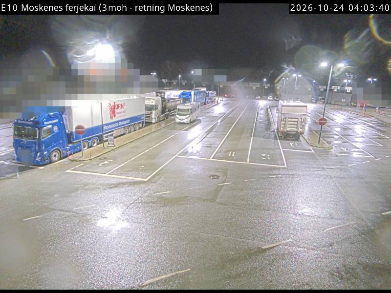
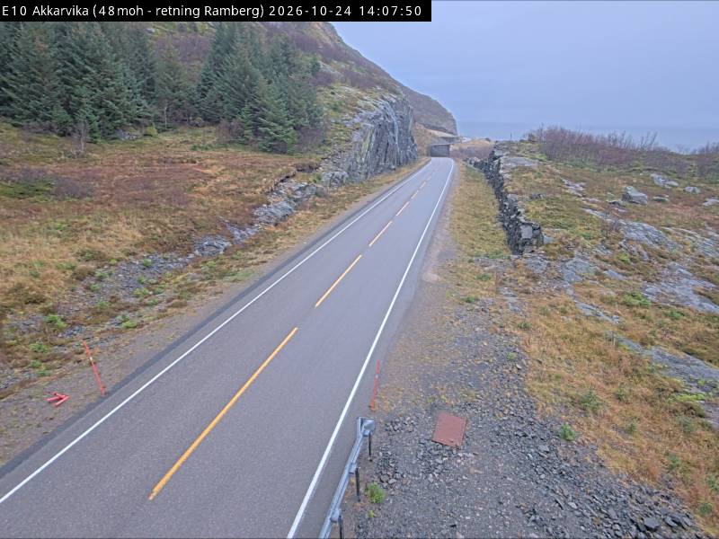
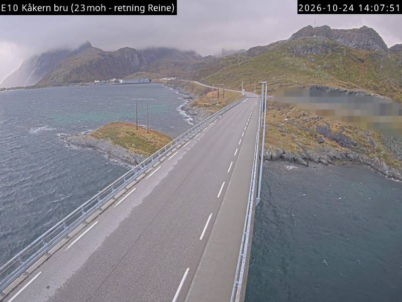
Hermannsdalstinden周辺のライブカメラ
Hermannsdalstinden周辺の歴史
- Operation Anklet1941