Hope Mountain
1,844 m6,050 ft
山 · Skagit Range · カナダ
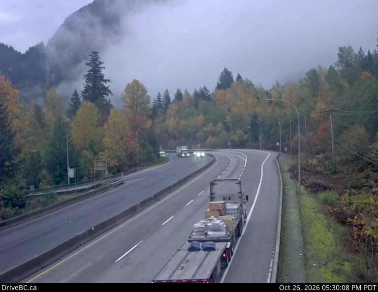
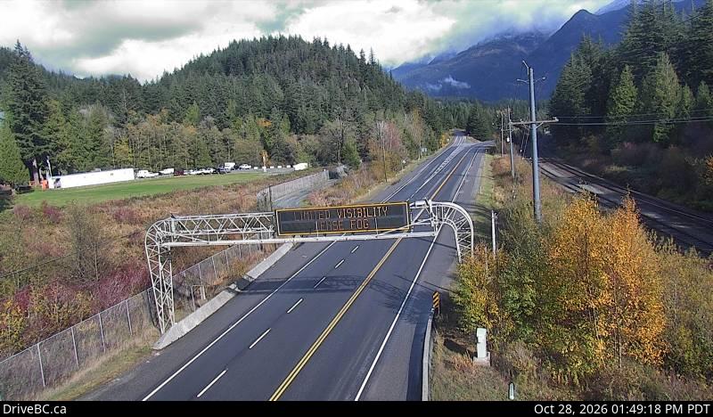
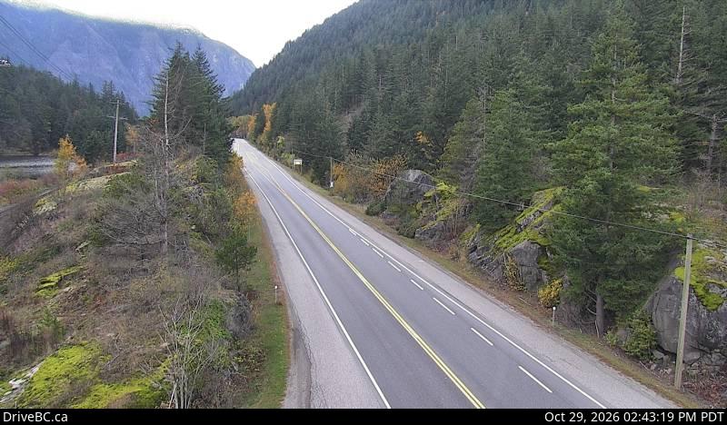
Hope Mountain, commonly called Mount Hope, is a prominent mountain overlooking the town of Hope, British Columbia, Canada from the south. It is the northernmost summit of the Skagit Range of the Cascade Mountains and stands above the confluence of the Coquihalla and Fraser Rivers.
出典: Wikipedia、CC BY-SA · 記事を読む
山頂 · 17:00 の予報
-4 °C小雪 · 北西の風 3 km/h
Hope Mountain 山頂の天気(1,844 m)
- 17:00-4 °C北西 3 km/h0.3 mm
- 20:00-8 °C南東 2 km/h–
- 23:00-10 °C南東 6 km/h–
- 2:00-9 °C南東 6 km/h–
- 5:00-9 °C南東 6 km/h–
- 8:00-8 °C南東 7 km/h0.2 mm
- 11:00-3 °C北東 9 km/h–
- 14:000 °C北東 9 km/h–
| 日付 | 天気 | 最高 / 最低 | 雨 | 最大風速 |
|---|---|---|---|---|
| 10月29日(木) | 晴れ | 1 °C / -10 °C | 0.2 mm | 9 km/h |
| 10月30日(金) | 小雪 | -2 °C / -10 °C | 4.9 mm | 9 km/h |
| 10月31日(土) | 快晴 | -1 °C / -8 °C | – | 8 km/h |
| 11月1日(日) | 快晴 | 1 °C / -8 °C | – | 3 km/h |
| 11月2日(月) | 晴れ時々曇り | 2 °C / -8 °C | – | 5 km/h |
| 11月3日(火) | 晴れ | 4 °C / -4 °C | – | 6 km/h |
| 11月4日(水) | 快晴 | 4 °C / -7 °C | – | 8 km/h |
MET Norway(CC BY 4.0)による予報。16:19 GMT-7 更新。時刻は現地時間です。
基本データ
- 種類
- 山
- 標高
- 1,844 m (6,050 ft)
- 山脈
- Skagit Range
- 国
- カナダ
- 座標
- 49.347°N 121.418°W
Hope Mountain (British Columbia)
Mountain in British Columbia, Canada
Hope Mountain, commonly called Mount Hope, is a prominent mountain overlooking the town of Hope, British Columbia, Canada from the south. It is the northernmost summit of the Skagit Range of the Cascade Mountains and stands above the confluence of the Coquihalla and Fraser Rivers. Hope Mountain dominates the view of southbound travellers in the lower Fraser Canyon between Yale and Hope.
出典: Wikipedia、CC BY-SA · 記事を読む
Hope Mountain周辺の山
- Mount Barr1,907 m · 14 km先地図上
- Foley Peak2,293 m · 24 km先地図上
- Welch Peak2,431 m · 25 km先地図上
- Silvertip Mountain2,596 m · 25 km先地図上
- Cheam Peak2,104 m · 26 km先地図上
- Lady Peak2,178 m · 26 km先地図上
- Coquihalla Mountain2,157 m · 33 km先地図上
- Jim Kelly Peak2,107 m · 34 km先地図上
- Ibex Peak2,039 m · 35 km先地図上
- Yak Peak2,039 m · 37 km先地図上
Skagit Rangeの最高峰
- ベーカー山10,781 ft地図上
- Mount Shuksan9,127 ft地図上
- Mount Spickard8,980 ft地図上
- Mount Redoubt8,969 ft地図上
- Slesse Mountain2,439 m地図上
- Hope Mountain1,844 m地図上
- Sumas Mountain3,428 ft地図上
カナダの高い山
- ローガン山5,959 m地図上
- セイントイライアス山18,009 ft地図上
- ルカニア山5,240 m地図上
- キング・ピーク5,173 m地図上
- スティール山5,073 m地図上
- Mount Wood4,850 m地図上
- バンクーバー山 (カナダ)15,787 ft地図上
- Mount Slaggard4,742 m地図上
- Mount Macaulay4,700 m地図上
- フェアウェザー山15,325 ft地図上