Kletten
284 m932 ft
丘 · ノルウェー
Kletten is a hill in Sunnfjord Municipality in Vestland county, Norway. It steeply rises up above the village of Naustdal to the southeast of the village centre. The hill has a vantage point to the west at an elevation of 269 meters (883 ft) and before reaching an elevation of 281 meters (922 ft).
出典: Wikipedia、CC BY-SA · 記事を読む
山頂 · 6:00 の予報
9 °C曇り · 南東の風 5 km/h
 3D で見る
Kletten 山頂の天気(284 m)
- 6:009 °C南東 5 km/h–
- 9:0013 °C南 12 km/h3.6 mm
- 12:0012 °C南 9 km/h4.4 mm
- 15:0013 °C南 21 km/h0.3 mm
- 18:0010 °C南 15 km/h2.8 mm
- 21:009 °C南 7 km/h3.4 mm
- 0:009 °C南西 17 km/h0.8 mm
- 3:008 °C南 19 km/h1.9 mm
| 日付 | 天気 | 最高 / 最低 | 雨 | 最大風速 |
|---|---|---|---|---|
| 今日 | 強い雨 | 14 °C / 9 °C | 14.5 mm | 22 km/h |
| 10月28日(水) | 小雨 | 9 °C / 8 °C | 17.5 mm | 19 km/h |
| 10月29日(木) | 雨 | 11 °C / 9 °C | 11.2 mm | 13 km/h |
| 10月30日(金) | 曇り | 11 °C / 9 °C | 1.9 mm | 6 km/h |
| 10月31日(土) | 曇り | 11 °C / 10 °C | 5.5 mm | 5 km/h |
| 11月1日(日) | 曇り | 9 °C / 8 °C | 7.9 mm | 6 km/h |
| 11月2日(月) | 曇り | 9 °C / 7 °C | 15.6 mm | 6 km/h |
MET Norway(CC BY 4.0)による予報。03:30 GMT+1 更新。時刻は現地時間です。
基本データ
- 種類
- 丘
- 標高
- 284 m (932 ft)
- 座標
- 61.508°N 5.735°E
Kletten
Hill in Vestland, Norway
Kletten is a hill in Sunnfjord Municipality in Vestland county, Norway. It steeply rises up above the village of Naustdal to the southeast of the village centre. The hill has a vantage point to the west at an elevation of 269 meters (883 ft) and before reaching an elevation of 281 meters (922 ft). The hill rises continuously from sea level at the mouth of the Nausta River.
出典: Wikipedia、CC BY-SA · 記事を読む
Kletten周辺の山
- Gjegnet1,670 m · 33 km先地図上
- Hornelen860 m · 45 km先地図上
- Lihesten777 m · 49 km先地図上
- Snønipa1,827 m · 55 km先地図上
- mountain-11233455山 · 3.3 km先地図上
- Ramsdalsheia山 · 7.4 km先地図上
- mountain-12715229山 · 10 km先地図上
- Kvamshesten1,209 m · 13 km先地図上
- mountain-11235123山 · 15 km先地図上
- Blægja1,304 m · 15 km先地図上
ノルウェーの高い山
- ガルフピッゲン2,469 m地図上
- グリッテルティンデン2,464 m地図上
- Store Skagastølstind2,406 m地図上
- Surtningssue2,368 m地図上
- Store Memurutinden2,365 m地図上
- Store Hellstugutinden2,346 m地図上
- Store Knutsholstinden2,339 m地図上
- Tjørnholstind2,323 m地図上
- Bukkehøe2,314 m地図上
- ドブレフィエル2,286 m地図上
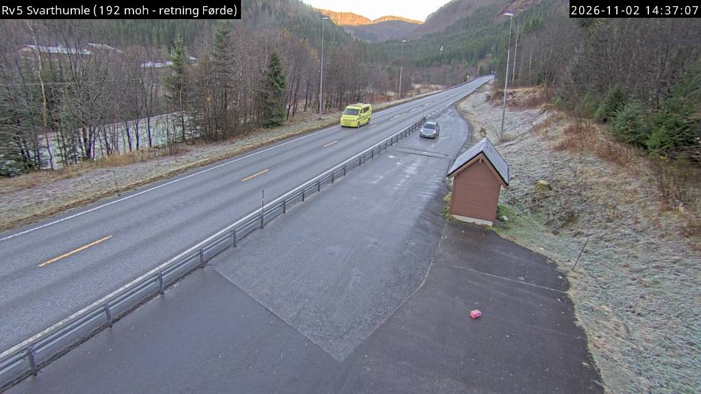
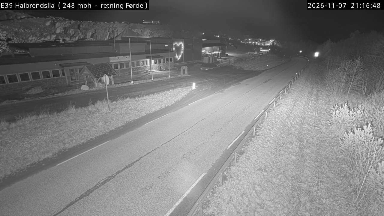
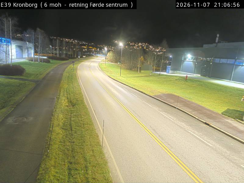
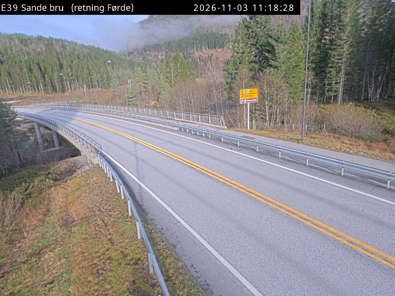
Kletten周辺のライブカメラ
Kletten周辺の歴史
- Black Friday1945