Liberty Peak
11,037 ft3,364 m
山 · ルビー山脈 · アメリカ合衆国
Liberty Peak is the name given to the officially unnamed mountain peak west of Liberty Pass in the Ruby Mountains of Elko County, Nevada, United States. It is located within the Ruby Mountains Wilderness of the Humboldt-Toiyabe National Forest.
出典: Wikipedia、CC BY-SA · 記事を読む
山頂 · 14:00 の予報
33 °F快晴 · 南西の風 11 mph
 3D で見る
Liberty Peak 山頂の天気(11,037 ft)
- 14:0033 °F南西 11 mph–
- 17:0030 °F西 9 mph–
- 20:0020 °F西 6 mph–
- 23:0019 °F西 4 mph–
- 2:0020 °F西 4 mph–
- 5:0021 °F南西 3 mph–
- 8:0024 °F南西 5 mph–
- 11:0031 °F南西 8 mph–
| 日付 | 天気 | 最高 / 最低 | 雨 | 最大風速 |
|---|---|---|---|---|
| 10月28日(水) | 快晴 | 33 °F / 19 °F | – | 9 mph |
| 10月29日(木) | 曇り | 35 °F / 25 °F | 0.21 インチ | 7 mph |
| 10月30日(金) | 雪 | 29 °F / 24 °F | 0.41 インチ | 2 mph |
| 10月31日(土) | 雪 | 26 °F / 22 °F | 0.52 インチ | 6 mph |
| 11月1日(日) | 雪 | 20 °F / 11 °F | 0.23 インチ | 4 mph |
| 11月2日(月) | 快晴 | 21 °F / 3 °F | – | 2 mph |
| 11月3日(火) | 曇り | 31 °F / 14 °F | – | 1 mph |
MET Norway(CC BY 4.0)による予報。10:17 GMT-7 更新。時刻は現地時間です。
基本データ
- 種類
- 山
- 標高
- 11,037 ft (3,364 m)
- プロミネンス
- 752 ft (229 m)
- 山脈
- ルビー山脈
- 座標
- 40.587°N 115.400°W
Liberty Peak
Mountain in Nevada, United States
Liberty Peak is the name given to the officially unnamed mountain peak west of Liberty Pass in the Ruby Mountains of Elko County, Nevada, United States. It is located within the Ruby Mountains Wilderness of the Humboldt-Toiyabe National Forest. The peak rises from the head of Lamoille Canyon, and is a major part of the view at the Road's End Trailhead.
出典: Wikipedia、CC BY-SA · 記事を読む
Liberty Peak周辺の山
- Snow Lake Peak11,142 ft · 2.1 km先地図上
- Thomas Peak11,321 ft · 4.3 km先地図上
- Mount Gilbert11,125 ft · 5.7 km先地図上
- Verdi Peaks11,074 ft · 7.4 km先地図上
- Ruby Dome11,388 ft · 7.5 km先地図上
- King Peak11,036 ft · 14 km先地図上
- Pearl Peak10,777 ft · 41 km先地図上
- Rattlesnake Mountain8,537 ft · 41 km先地図上
- Humboldt Peak (Nevada)11,025 ft · 42 km先地図上
- Grindstone Mountain7,382 ft · 44 km先地図上
ルビー山脈の最高峰
- Ruby Dome11,388 ft地図上
- Thomas Peak11,321 ft地図上
- Mount Gilbert11,125 ft地図上
- Verdi Peaks11,074 ft地図上
- Liberty Peak11,037 ft地図上
- King Peak11,036 ft地図上
- Pearl Peak10,777 ft地図上
アメリカ合衆国の高い山
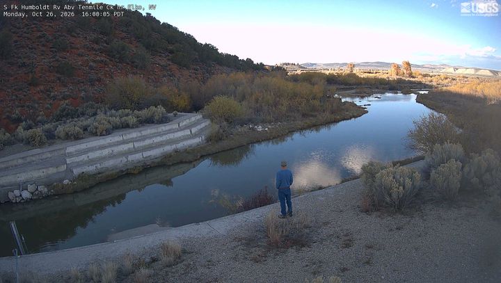
Liberty Peak周辺のライブカメラ
Liberty Peak周辺の町
- エルコ41 km先