Mount Currie
2,591 m8,501 ft
山 · ガリバルディ山脈 · カナダ
Mount Currie is the northernmost summit of the Garibaldi Ranges in southwestern British Columbia, Canada. Its north face dominates the "skyline" of the Pemberton Valley and is one of the peaks visible from the Whistler-Blackcomb Ski Area just southwest.
出典: Wikipedia、CC BY-SA · 記事を読む
山頂 · 14:00 の予報
-5 °C小雪 · 南西の風 5 km/h
 3D で見る
Mount Currie 山頂の天気(2,591 m)
- 14:00-5 °C南西 5 km/h0.7 mm
- 17:00-8 °C南西 4 km/h0.1 mm
- 20:00-10 °C南西 4 km/h–
- 23:00-10 °C南西 1 km/h1.1 mm
- 2:00-11 °C西 1 km/h2.7 mm
- 5:00-11 °C北西 1 km/h2.7 mm
- 8:00-11 °C北西 1 km/h1.4 mm
- 11:00-9 °C北西 3 km/h1.4 mm
| 日付 | 天気 | 最高 / 最低 | 雨 | 最大風速 |
|---|---|---|---|---|
| 10月28日(水) | 雪 | -8 °C / -11 °C | 13.4 mm | 3 km/h |
| 10月29日(木) | 雪 | -8 °C / -15 °C | 3.6 mm | 7 km/h |
| 10月30日(金) | 雪 | -11 °C / -17 °C | 6.7 mm | 1 km/h |
| 10月31日(土) | 曇り | -8 °C / -16 °C | 2.3 mm | 1 km/h |
| 11月1日(日) | 曇り | -10 °C / -16 °C | 0.1 mm | 1 km/h |
| 11月2日(月) | 曇り | -6 °C / -16 °C | – | 1 km/h |
| 11月3日(火) | 晴れ | -5 °C / -12 °C | – | 0 km/h |
MET Norway(CC BY 4.0)による予報。10:17 GMT-7 更新。時刻は現地時間です。
基本データ
- 種類
- 山
- 標高
- 2,591 m (8,501 ft)
- プロミネンス
- 346 m (1,135 ft)
- 山脈
- ガリバルディ山脈
- 国
- カナダ
- 座標
- 50.249°N 122.782°W
Mount Currie (British Columbia)
Mountain in British Columbia
Mount Currie is the northernmost summit of the Garibaldi Ranges in southwestern British Columbia, Canada. Its north face dominates the "skyline" of the Pemberton Valley and is one of the peaks visible from the Whistler-Blackcomb Ski Area just southwest. Mount Currie is the namesake of Mount Currie, British Columbia and the adjoining Mount Currie Indian Reserve, home of the Lil'wat First Nation.
出典: Wikipedia、CC BY-SA · 記事を読む
Mount Currie周辺の山
- Mount Weart2,835 m · 8.8 km先地図上
- Rethel Mountain2,408 m · 11 km先地図上
- Wedge Mountain2,895 m · 13 km先地図上
- The Spearhead2,457 m · 19 km先地図上
- ブラッコム・マウンテン2,436 m · 20 km先地図上
- Rainbow Mountain2,314 m · 21 km先地図上
- Twin Goat Mountain2,128 m · 21 km先地図上
- ウィスラー・マウンテン2,181 m · 24 km先地図上
- Cayoosh Mountain2,561 m · 25 km先地図上
- Piccolo Summit2,043 m · 25 km先地図上
ガリバルディ山脈の最高峰
- Wedge Mountain2,895 m地図上
- Mount Weart2,835 m地図上
- ガリバルディ山2,678 m地図上
- Castle Towers Mountain2,676 m地図上
- Mount Currie2,591 m地図上
- ブラック・タスク2,319 m地図上
- Rainbow Mountain2,314 m地図上
- Mount Judge Howay2,262 m地図上
- Mount Robie Reid2,095 m地図上
カナダの高い山
- ローガン山5,959 m地図上
- セイントイライアス山18,009 ft地図上
- ルカニア山5,240 m地図上
- キング・ピーク5,173 m地図上
- スティール山5,073 m地図上
- Mount Wood4,850 m地図上
- バンクーバー山 (カナダ)15,787 ft地図上
- Mount Slaggard4,742 m地図上
- Mount Macaulay4,700 m地図上
- フェアウェザー山15,325 ft地図上
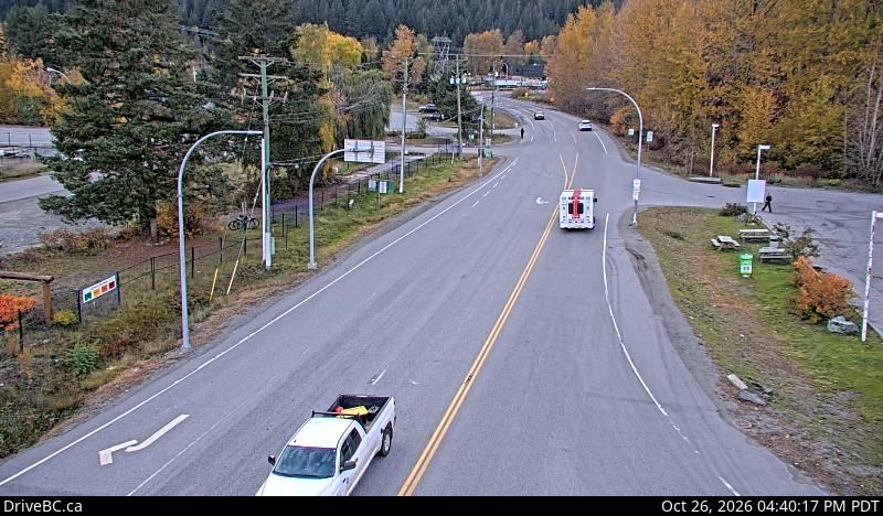
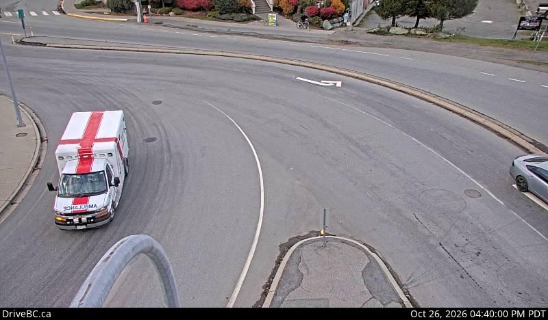
Mount Currie周辺のライブカメラ
Mount Currie周辺の歴史
- The first athlete to represent Colombia at the Winter Olympics, Cynthia Denzler, competes in her first event: the women's giant slalom alpine skiing competition2010
- Georgian luger Nodar Kumaritashvili is killed after a crash at the Whistler Sliding Centre, during a training run for the 2010 Winter Olympics2010
Mount Currie周辺の町
- スコーミッシュ67 km先