Mount Faber
105 m344 ft
丘 · シンガポール
Mount Faber, formerly Telok Blangah Hill, is a hill about 94 metres (308 ft) in height, located in the town of Bukit Merah in the Central Region of Singapore. It overlooks the Telok Blangah area and the western parts of the Central Area.
出典: Wikipedia、CC BY-SA · 記事を読む
山頂 · 11:00 の予報
30 °C晴れ時々曇り · 南東の風 8 km/h
 3D で見る
Mount Faber 山頂の天気(105 m)
- 11:0030 °C南東 8 km/h–
- 14:0032 °C南東 10 km/h0.3 mm
- 17:0030 °C南東 14 km/h0.5 mm
- 20:0027 °C東 12 km/h–
- 23:0026 °C北東 13 km/h–
- 2:0025 °C北 11 km/h2.6 mm
- 5:0024 °C北西 10 km/h0.6 mm
- 8:0024 °C北東 7 km/h–
| 日付 | 天気 | 最高 / 最低 | 雨 | 最大風速 |
|---|---|---|---|---|
| 今日 | 晴れ時々曇り | 32 °C / 26 °C | 0.8 mm | 15 km/h |
| 10月28日(水) | 強い雨 | 30 °C / 24 °C | 19.4 mm | 16 km/h |
| 10月29日(木) | 強い雨 | 29 °C / 23 °C | 28.4 mm | 14 km/h |
| 10月30日(金) | 雨 | 30 °C / 25 °C | 7.4 mm | 12 km/h |
| 10月31日(土) | 晴れ時々曇り | 30 °C / 23 °C | 3.1 mm | 8 km/h |
| 11月1日(日) | 晴れ | 30 °C / 25 °C | 6.2 mm | 11 km/h |
| 11月2日(月) | 雨 | 30 °C / 25 °C | 6.6 mm | 8 km/h |
MET Norway(CC BY 4.0)による予報。09:17 GMT+8 更新。時刻は現地時間です。
基本データ
- 種類
- 丘
- 標高
- 105 m (344 ft)
- 座標
- 1.272°N 103.821°E
Mount Faber
Hill in Bukit Merah, Singapore
Mount Faber, formerly Telok Blangah Hill, is a hill about 94 metres (308 ft) in height, located in the town of Bukit Merah in the Central Region of Singapore. It overlooks the Telok Blangah area and the western parts of the Central Area. The summit is accessible by Mount Faber Road or Mount Faber Loop via Morse Road, but there are many footpaths or trails leading up the hill.
出典: Wikipedia、CC BY-SA · 記事を読む
Mount Faber周辺の山
- ブキッ・ティマ164 m · 10 km先地図上
- Jurong Hill60 m · 14 km先地図上
- Mount Pulai654 m · 47 km先地図上
- パールズ・ヒル丘 · 2.5 km先地図上
- Duxton Hill山 · 2.6 km先地図上
- Mount Palmer丘 · 2.9 km先地図上
- Bukit Chandu丘 · 3.3 km先地図上
シンガポールの高い山
- ブキッ・ティマ164 m地図上
- Mount Faber105 m地図上
- Jurong Hill60 m地図上
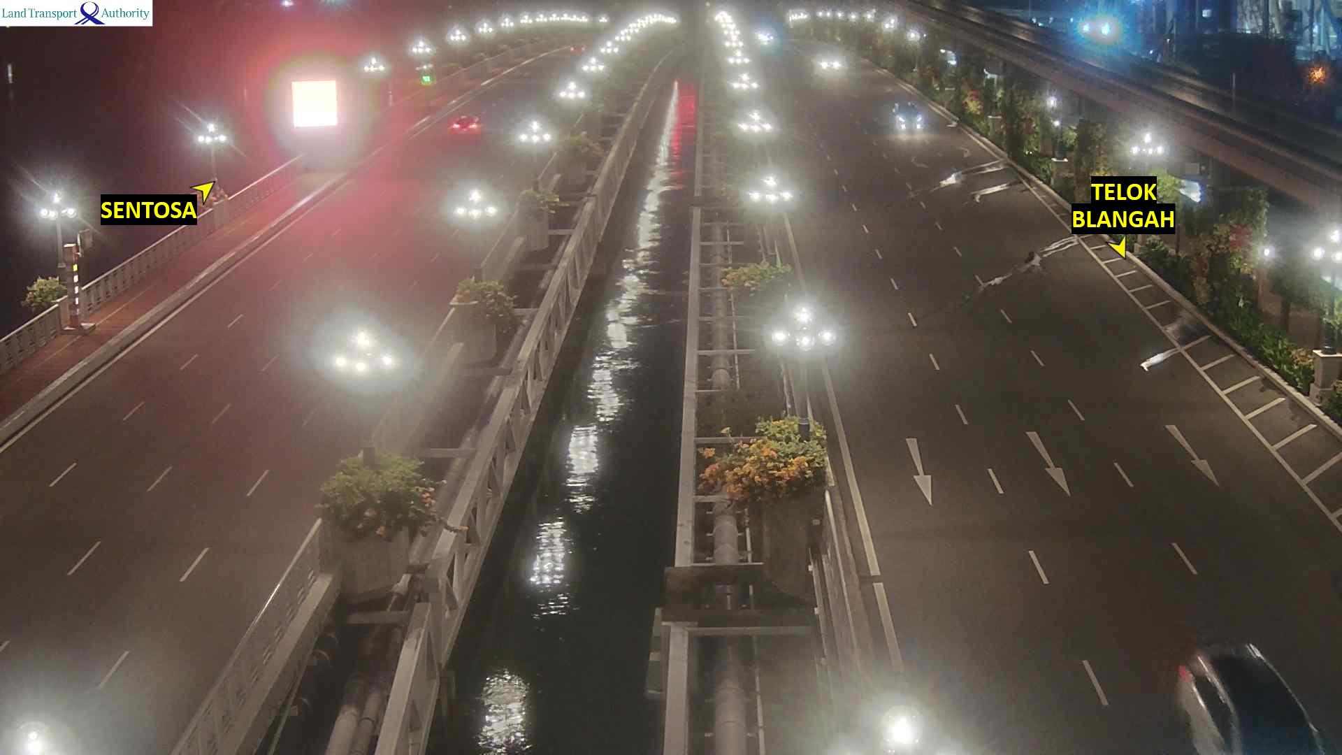
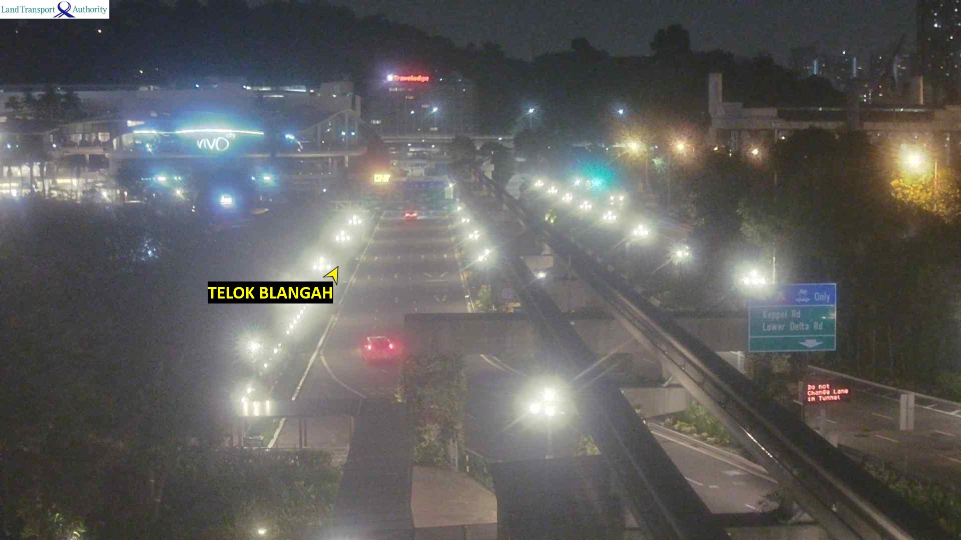
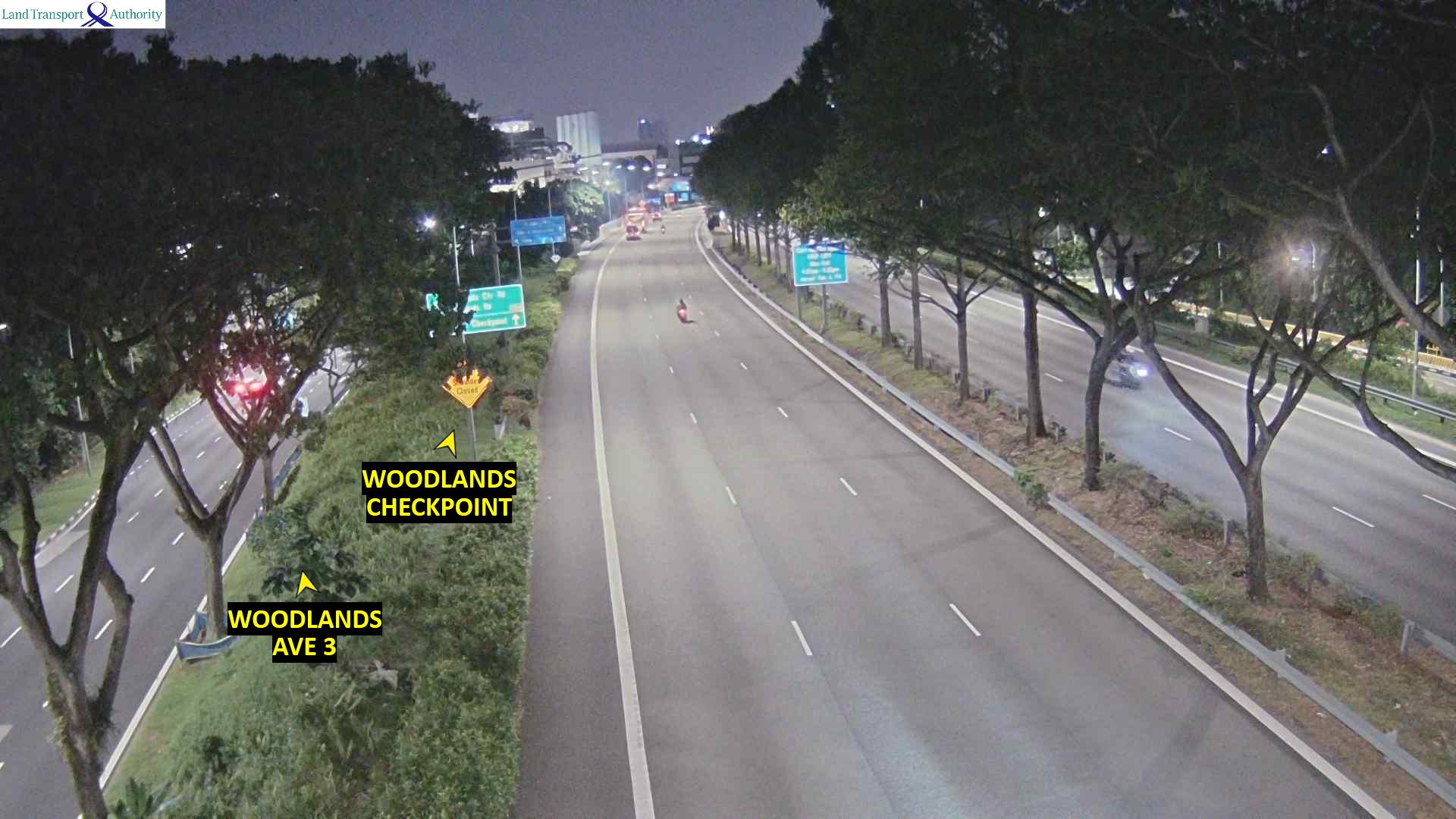
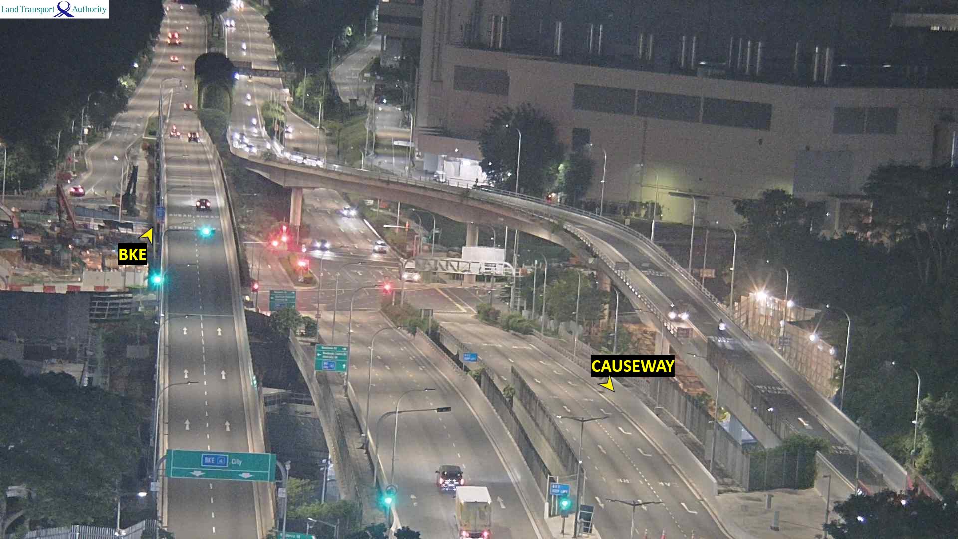
Mount Faber周辺のライブカメラ
Mount Faber周辺の歴史
- The 2018 North Korea–United States summit is held in Singapore2018
- Battle of Singapore1942
- CCP general secretary Xi Jinping and ROC president Ma Ying-jeou formally meet for the first time2015
- The 2010 Summer Youth Olympics, the first of the Youth Olympic Games2010
- 25 January and 7 February - Adrian Lim, a self-professed medium, Catherine Tan Mui Choo and Hoe Kah Hong murders two children as "sacrifices" in a case known…1981
- Double Tenth Incident1943
- 2026 Chinatown car accident2026
- 2024 East–West Line disruption2024
Mount Faber周辺の町
- Queenstown Estate3.2 km先
- Singapore3.8 km先
- ノベナ駅5.6 km先
- Bukit Timah7 km先
- Anak Bukit9.3 km先
- MacPherson9.3 km先