ホプキンズ山
12,313 ft3,753 m
山 · シエラネバダ山脈 · アメリカ合衆国
Mount Hopkins is a mountain in the John Muir Wilderness north of Kings Canyon National Park. It is one of four peaks that surround Pioneer Basin, 1.4 miles (2.3 km) south-southeast of Mount Crocker, 2 miles (3.2 km) west-southwest of Mount Huntington, and 2 miles (3.2 km) southwest of Mount Stanford.
出典: Wikipedia、CC BY-SA · 記事を読む
山頂 · 15:00 の予報
39 °F晴れ · 西の風 7 mph
 3D で見る
ホプキンズ山 山頂の天気(12,313 ft)
- 15:0039 °F西 7 mph–
- 18:0030 °F南 2 mph–
- 21:0027 °F南 1 mph–
- 0:0027 °F南西 1 mph–
- 3:0026 °F南西 2 mph–
- 6:0025 °F南 2 mph–
- 9:0031 °F南西 5 mph–
- 12:0034 °F南 11 mph0 インチ
| 日付 | 天気 | 最高 / 最低 | 雨 | 最大風速 |
|---|---|---|---|---|
| 10月29日(木) | 小雪 | 35 °F / 21 °F | 0 インチ | 13 mph |
| 10月30日(金) | 小雪 | 32 °F / 20 °F | 0.05 インチ | 10 mph |
| 10月31日(土) | 雪 | 27 °F / 19 °F | 0.18 インチ | 6 mph |
| 11月1日(日) | 晴れ時々曇り | 24 °F / 14 °F | 0.06 インチ | 6 mph |
| 11月2日(月) | 晴れ | 34 °F / 19 °F | – | 2 mph |
| 11月3日(火) | 曇り | 41 °F / 29 °F | – | 2 mph |
| 11月4日(水) | 曇り | 45 °F / 29 °F | – | 3 mph |
MET Norway(CC BY 4.0)による予報。12:19 GMT-7 更新。時刻は現地時間です。
基本データ
- 種類
- 山
- 標高
- 12,313 ft (3,753 m)
- プロミネンス
- 463 ft (141 m)
- 山脈
- シエラネバダ山脈
- 初登頂
- 1934年7月16日
- 座標
- 37.464°N 118.813°W
Mount Hopkins (California)
Mountain in United States of America
Mount Hopkins is a mountain in the John Muir Wilderness north of Kings Canyon National Park. It is one of four peaks that surround Pioneer Basin, 1.4 miles (2.3 km) south-southeast of Mount Crocker, 2 miles (3.2 km) west-southwest of Mount Huntington, and 2 miles (3.2 km) southwest of Mount Stanford. The mountain was named for Mark Hopkins, one of the builders of the Central Pacific Railroad.
出典: Wikipedia、CC BY-SA · 記事を読む
ホプキンズ山周辺の山
- Red Slate Mountain13,166 ft · 6.9 km先地図上
- Mount Abbot13,704 ft · 9 km先地図上
- Mount Dade13,593 ft · 9.6 km先地図上
- Mount Morgan13,754 ft · 9.6 km先地図上
- Mount Gabb13,747 ft · 9.7 km先地図上
- Mount Morrison12,303 ft · 12 km先地図上
- Feather Peak13,251 ft · 16 km先地図上
- Mount Tom13,658 ft · 20 km先地図上
- Mount Humphreys13,992 ft · 25 km先地図上
- マンモス山11,060 ft · 27 km先地図上
シエラネバダ山脈の最高峰
- ホイットニー山14,505 ft地図上
- ウィリアムソン山14,403 ft地図上
- Mount Russell14,094 ft地図上
- Mount Langley14,032 ft地図上
- ティンダル山14,025 ft地図上
- Mount Humphreys13,992 ft地図上
- Mount Keith13,982 ft地図上
- Mount LeConte13,936 ft地図上
- ホプキンズ山12,313 ft地図上
アメリカ合衆国の高い山
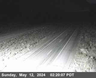
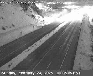
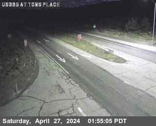
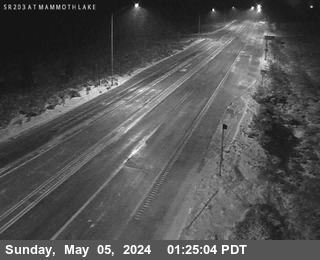
ホプキンズ山周辺のライブカメラ
ホプキンズ山周辺の町
- Mammoth Lakes24 km先