Ounastunturi
725 m2,379 ft
山 · フィンランド
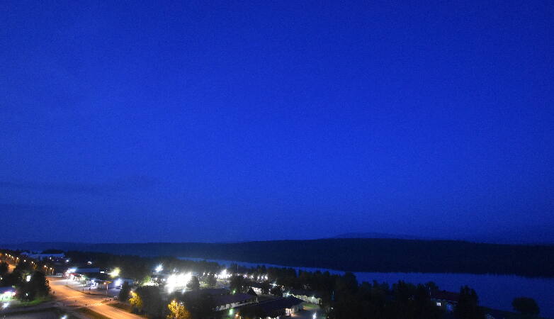
Ounastunturi is a fell in Finland. It is situated in the sub-region Tunturi Lapland of the Lapland region, in the north of the country, about 900 km (560 mi) north of the capital Helsinki. It lies in the northern part of the Pallas-Yllästunturi National Park.
出典: Wikipedia、CC BY-SA · 記事を読む
山頂 · 3:00 の予報
3 °C霧 · 南の風 22 km/h
 3D で見る
Ounastunturi 山頂の天気(725 m)
- 3:003 °C南 22 km/h–
- 6:003 °C南 23 km/h0.2 mm
- 9:004 °C南 24 km/h0.9 mm
- 12:004 °C南西 25 km/h1.1 mm
- 15:004 °C南西 13 km/h–
- 18:004 °C南西 20 km/h–
- 21:003 °C南 23 km/h–
- 0:002 °C南 25 km/h–
| 日付 | 天気 | 最高 / 最低 | 雨 | 最大風速 |
|---|---|---|---|---|
| 今日 | 雨 | 4 °C / 2 °C | 2.2 mm | 27 km/h |
| 10月29日(木) | 曇り | 2 °C / -0 °C | – | 26 km/h |
| 10月30日(金) | 晴れ | 1 °C / -1 °C | – | 16 km/h |
| 10月31日(土) | 曇り | -1 °C / -2 °C | – | 18 km/h |
| 11月1日(日) | 曇り | -2 °C / -3 °C | – | 15 km/h |
| 11月2日(月) | 晴れ時々曇り | -3 °C / -4 °C | – | 16 km/h |
| 11月3日(火) | 晴れ時々曇り | -3 °C / -4 °C | – | 19 km/h |
MET Norway(CC BY 4.0)による予報。00:30 GMT+1 更新。時刻は現地時間です。
基本データ
- 種類
- 山
- 標高
- 725 m (2,379 ft)
- 座標
- 68.233°N 23.800°E
Ounastunturi
Fell in Lapland, Finland
Ounastunturi is a fell in Finland. It is situated in the sub-region Tunturi Lapland of the Lapland region, in the north of the country, about 900 km (560 mi) north of the capital Helsinki. It lies in the northern part of the Pallas-Yllästunturi National Park. The Pallas-Ounastunturi National Park, established in 1938 and included in the former in 2005, was partly named after the fell.
出典: Wikipedia、CC BY-SA · 記事を読む
Ounastunturi周辺の山
- パラストゥントゥリ807 m · 21 km先地図上
- Outtakka723 m · 1.1 km先地図上
- Ruototunturi山 · 5.7 km先地図上
- Pyhäkero山 · 10 km先地図上
- Lehmäkero745 m · 20 km先地図上
- Taivaskero809 m · 21 km先地図上
- Laukukero762 m · 21 km先地図上
- Lommoltunturi山 · 30 km先地図上
- Sammaltunturi山 · 32 km先地図上
- Pingisvaara山 · 32 km先地図上
フィンランドの高い山
- ハルティ1,361 m地図上
- Ritničohkka1,317 m地図上
- Govddošgáisi1,242 m地図上
- Saana1,029 m地図上
- Ounastunturi725 m地図上
- Ylläs718 m地図上
- Aakenustunturi570 m地図上
- Pyhätunturi540 m地図上
- ルオスト514 m地図上
- ルカ (フィンランド)493 m地図上