Pyramid Peak
9,985 ft3,043 m
山 · シエラネバダ山脈 · アメリカ合衆国
Pyramid Peak is a mountain in the California's Sierra Nevada in the Crystal Range to the west of Lake Tahoe. It is the highest point in the Desolation Wilderness. With an elevation gain of almost 4,100 feet (1,250 m), the Rocky Canyon route is the mountain's most popular approach although it is very arduous.
出典: Wikipedia、CC BY-SA · 記事を読む
Crystal Rangeの最高地点
山頂 · 0:00 の予報
24 °F晴れ時々曇り · 東の風 3 mph
 3D で見る
Pyramid Peak 山頂の天気(9,985 ft)
- 0:0024 °F東 3 mph–
- 3:0025 °F東 3 mph–
- 6:0027 °F東 2 mph–
- 9:0032 °F東 2 mph–
- 12:0040 °F南西 9 mph–
- 15:0040 °F南西 10 mph–
- 18:0031 °F南西 7 mph–
- 21:0029 °F南 6 mph–
| 日付 | 天気 | 最高 / 最低 | 雨 | 最大風速 |
|---|---|---|---|---|
| 今日 | 曇り | 40 °F / 24 °F | – | 12 mph |
| 10月30日(金) | 晴れ時々曇り | 34 °F / 20 °F | 0.15 インチ | 14 mph |
| 10月31日(土) | 大雪 | 29 °F / 22 °F | 0.77 インチ | 11 mph |
| 11月1日(日) | 晴れ | 29 °F / 20 °F | 0.07 インチ | 10 mph |
| 11月2日(月) | 快晴 | 35 °F / 18 °F | – | 9 mph |
| 11月3日(火) | 曇り | 46 °F / 26 °F | – | 2 mph |
| 11月4日(水) | 快晴 | 48 °F / 30 °F | – | 5 mph |
MET Norway(CC BY 4.0)による予報。22:22 GMT-7 更新。時刻は現地時間です。
基本データ
- 種類
- 山
- 標高
- 9,985 ft (3,043 m)
- プロミネンス
- 2,583 ft (787 m)
- 山脈
- シエラネバダ山脈
- 最高地点となる場所
- Crystal Range
- 座標
- 38.845°N 120.158°W
Pyramid Peak (El Dorado County, California)
Mountain in the American state of California
Pyramid Peak is a mountain in the California's Sierra Nevada in the Crystal Range to the west of Lake Tahoe. It is the highest point in the Desolation Wilderness. With an elevation gain of almost 4,100 feet (1,250 m), the Rocky Canyon route is the mountain's most popular approach although it is very arduous. To the east, at the base of the peak, lies Pyramid Lake.
出典: Wikipedia、CC BY-SA · 記事を読む
Pyramid Peak周辺の山
- Mount Price9,979 ft · 2.5 km先地図上
- ブルーマウンテン (カリフォルニア州の山)8,772 ft · 3.5 km先地図上
- Ralston Peak9,239 ft · 5 km先地図上
- Dicks Peak9,974 ft · 6.2 km先地図上
- Echo Peak8,899 ft · 7.5 km先地図上
- Angora Peak8,588 ft · 7.8 km先地図上
- Talking Mountain8,828 ft · 7.8 km先地図上
- タラク山9,739 ft · 8.5 km先地図上
- Maggies Peak8,703 ft · 10 km先地図上
- Red Peak9,311 ft · 10 km先地図上
シエラネバダ山脈の最高峰
- ホイットニー山14,505 ft地図上
- ウィリアムソン山14,403 ft地図上
- Mount Russell14,094 ft地図上
- Mount Langley14,032 ft地図上
- ティンダル山14,025 ft地図上
- Mount Humphreys13,992 ft地図上
- Mount Keith13,982 ft地図上
- Mount LeConte13,936 ft地図上
- Pyramid Peak9,985 ft地図上
アメリカ合衆国の高い山
Pyramid Peak周辺のライブカメラ
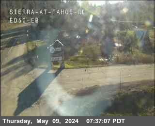
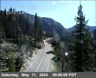
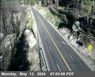
Pyramid Peak周辺の町
- サウス・レイク・タホ18 km先
- カーソンシティ49 km先
- トラッキー54 km先
- Placerville57 km先
- Plymouth74 km先
- Colfax74 km先