Rooster Comb
1,836 ft560 m
山 · ディアブロ山脈 · アメリカ合衆国
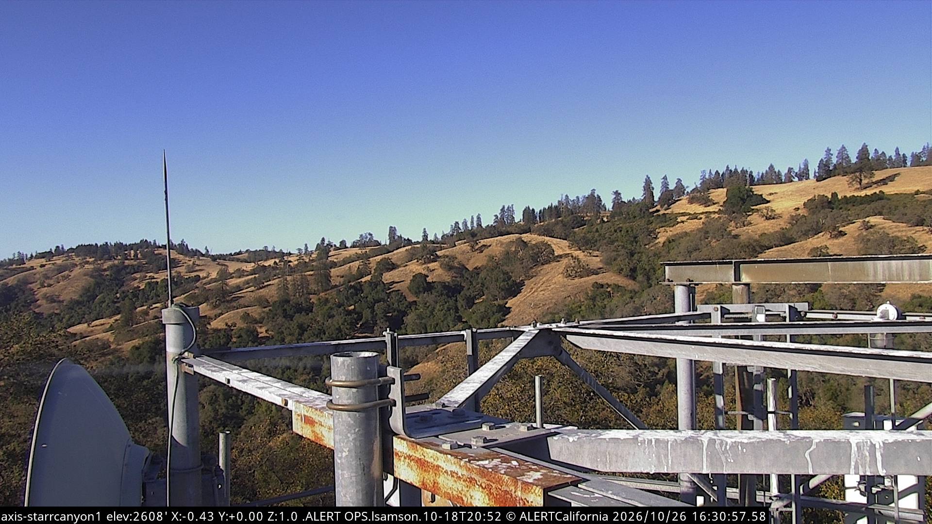
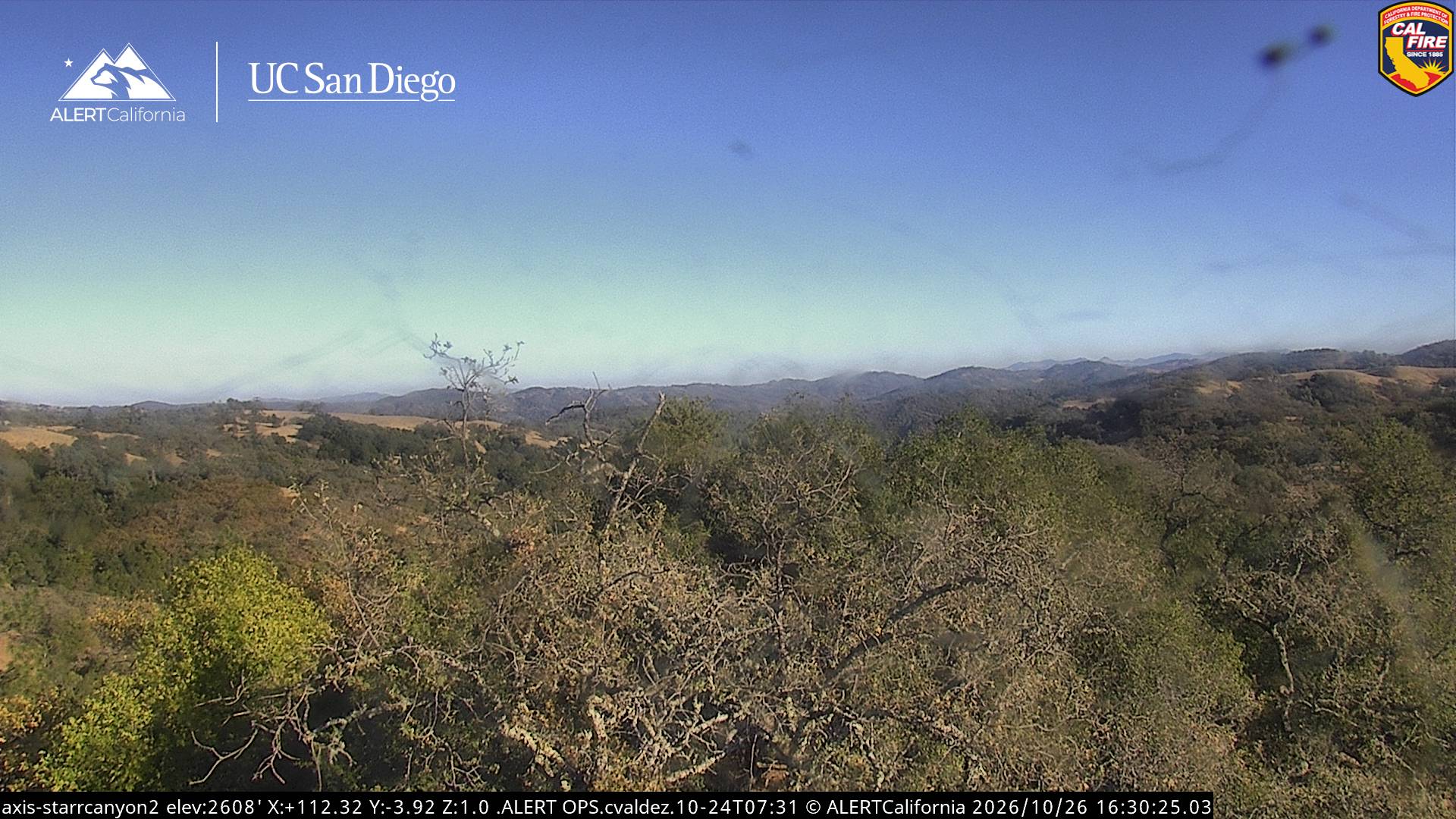
Rooster Comb is a prominent ridge located in Henry W. Coe State Park, east of Morgan Hill, California and in Stanislaus County. Its name refers to the large fleshy red skin atop a rooster's head.
出典: Wikipedia、CC BY-SA · 記事を読む
山頂 · 16:00 の予報
66 °F快晴 · 西の風 7 mph
Rooster Comb 山頂の天気(1,836 ft)
- 16:0066 °F西 7 mph–
- 19:0053 °F西 5 mph–
- 22:0048 °F北西 7 mph–
- 1:0046 °F北西 7 mph–
- 4:0045 °F西 7 mph–
- 7:0042 °F西 6 mph–
- 10:0055 °F西 7 mph–
- 13:0061 °F西 10 mph–
| 日付 | 天気 | 最高 / 最低 | 雨 | 最大風速 |
|---|---|---|---|---|
| 10月27日(火) | 晴れ時々曇り | 62 °F / 42 °F | – | 10 mph |
| 10月28日(水) | 晴れ時々曇り | 67 °F / 40 °F | – | 7 mph |
| 10月29日(木) | 曇り | 62 °F / 49 °F | – | 5 mph |
| 10月30日(金) | 快晴 | 58 °F / 44 °F | – | 7 mph |
| 10月31日(土) | 晴れ時々曇り | 57 °F / 41 °F | – | 6 mph |
| 11月1日(日) | 快晴 | 58 °F / 43 °F | – | 8 mph |
| 11月2日(月) | 晴れ | 64 °F / 43 °F | – | 3 mph |
MET Norway(CC BY 4.0)による予報。12:16 GMT-7 更新。時刻は現地時間です。
基本データ
- 種類
- 山
- 標高
- 1,836 ft (560 m)
- 山脈
- ディアブロ山脈
- 座標
- 37.243°N 121.358°W
Rooster Comb
Rooster Comb is a prominent ridge located in Henry W. Coe State Park, east of Morgan Hill, California and in Stanislaus County. Its name refers to the large fleshy red skin atop a rooster's head. The resemblance to a rooster's comb is evident by the large rock formations running the length of the ridge, separating it from the grassy slopes below. This contrast gives the illusion of a rooster's comb.
出典: Wikipedia、CC BY-SA · 記事を読む
Rooster Comb周辺の山
- Mount Sizer3,219 ft · 14 km先地図上
- ハミルトン山 (カリフォルニア州)4,354 ft · 27 km先地図上
- Mount Boardman3,621 ft · 28 km先地図上
- Mount Oso3,352 ft · 29 km先地図上
- El Toro1,427 ft · 31 km先地図上
- Lions Peak1,117 ft · 32 km先地図上
- Tulare Hill620 ft · 35 km先地図上
- ブラックマウンテン (ミルピタス)3,955 ft · 37 km先地図上
- Mount Madonna1,900 ft · 40 km先地図上
- Laveaga Peak3,804 ft · 42 km先地図上
ディアブロ山脈の最高峰
- San Benito Mountain5,267 ft地図上
- Santa Rita peak5,165 ft地図上
- ハミルトン山 (カリフォルニア州)4,354 ft地図上
- ブラックマウンテン (フレズノ郡)4,345 ft地図上
- ブラックマウンテン (ミルピタス)3,955 ft地図上
- ディアブロ山3,806 ft地図上
- Laveaga Peak3,804 ft地図上
- ブラックマウンテン (サンベニト郡)3,758 ft地図上
- Rooster Comb1,836 ft地図上