Tamanos Mountain
6,790 ft2,070 m
山 · カスケード山脈 · アメリカ合衆国
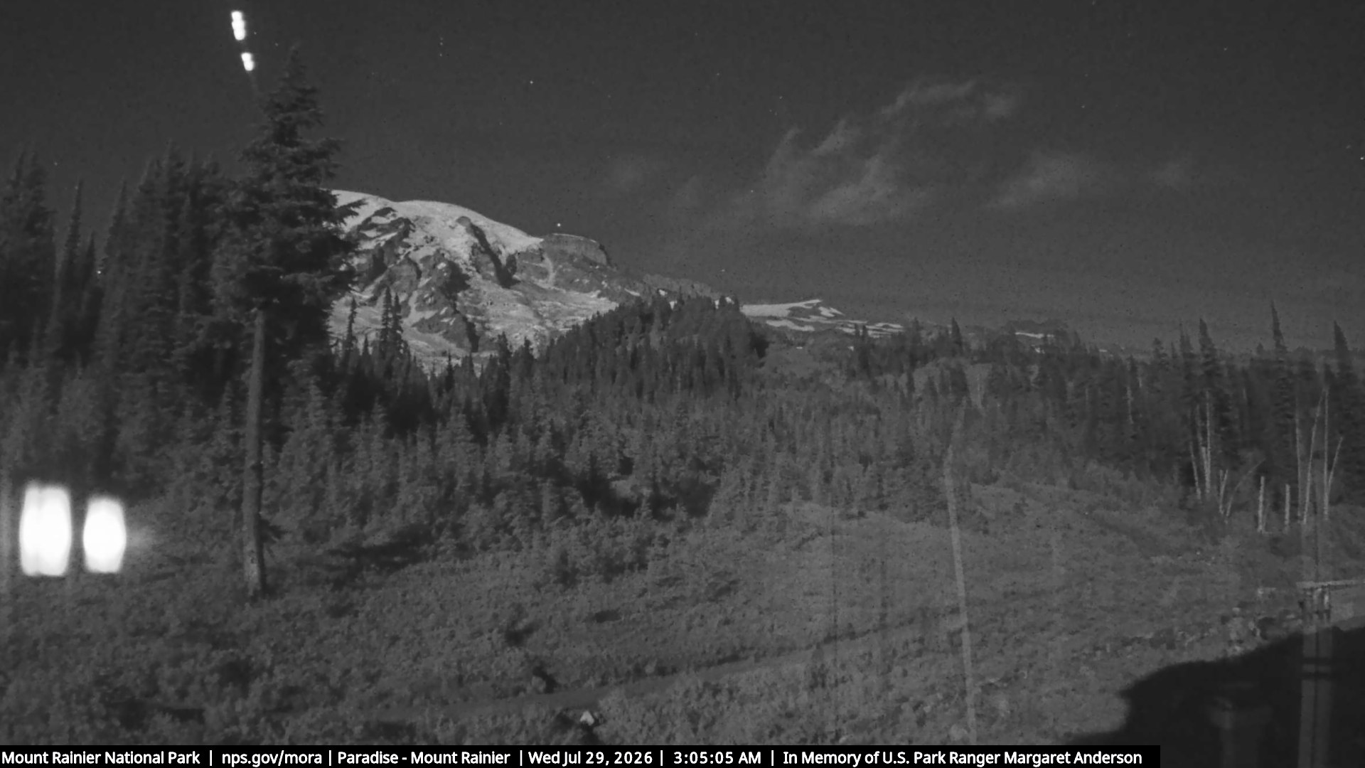
Tamanos Mountain is a 6,790-foot (2,070 m) summit located in Mount Rainier National Park in Pierce County of Washington state. It is part of the Cascade Range. Tamanos Mountain is situated west of Governors Ridge and northeast of the Cowlitz Chimneys, all of which can be seen from the Sunrise Historic District.
出典: Wikipedia、CC BY-SA · 記事を読む
山頂 · 14:00 の予報
31 °F小雪 · 南西の風 8 mph
 3D で見る
Tamanos Mountain 山頂の天気(6,790 ft)
- 14:0031 °F南西 8 mph0.01 インチ
- 17:0029 °F南西 9 mph0.02 インチ
- 20:0026 °F南西 10 mph0.04 インチ
- 23:0025 °F南西 10 mph0.37 インチ
- 2:0024 °F南 6 mph0.25 インチ
- 5:0024 °F南西 8 mph0.17 インチ
- 8:0023 °F南西 8 mph0.06 インチ
- 11:0026 °F南西 9 mph0.03 インチ
| 日付 | 天気 | 最高 / 最低 | 雨 | 最大風速 |
|---|---|---|---|---|
| 10月28日(水) | 小雪 | 28 °F / 17 °F | 0.81 インチ | 10 mph |
| 10月29日(木) | 晴れ時々曇り | 28 °F / 8 °F | 0.01 インチ | 6 mph |
| 10月30日(金) | 曇り | 25 °F / 14 °F | 0.2 インチ | 7 mph |
| 10月31日(土) | 快晴 | 28 °F / 13 °F | – | 2 mph |
| 11月1日(日) | 快晴 | 27 °F / 15 °F | – | 2 mph |
| 11月2日(月) | 曇り | 39 °F / 24 °F | – | 3 mph |
| 11月3日(火) | 快晴 | 44 °F / 34 °F | – | 1 mph |
MET Norway(CC BY 4.0)による予報。12:17 GMT-7 更新。時刻は現地時間です。
基本データ
- 種類
- 山
- 標高
- 6,790 ft (2,070 m)
- 山脈
- カスケード山脈
- 座標
- 46.872°N 121.597°W
Tamanos Mountain
Mountain in Washington (state), United States
Tamanos Mountain is a 6,790-foot (2,070 m) summit located in Mount Rainier National Park in Pierce County of Washington state. It is part of the Cascade Range. Tamanos Mountain is situated west of Governors Ridge and northeast of the Cowlitz Chimneys, all of which can be seen from the Sunrise Historic District. The name tamanos derives from Chinook Jargon and has the meaning of guardian spirit.
出典: Wikipedia、CC BY-SA · 記事を読む
Tamanos Mountain周辺の山
- Governors Ridge6,600 ft · 2 km先地図上
- Barrier Peak6,521 ft · 2 km先地図上
- Banshee Peak7,400 ft · 3 km先地図上
- Double Peak6,199 ft · 5 km先地図上
- Dege Peak7,008 ft · 5.2 km先地図上
- Yakima Peak6,079 ft · 5.7 km先地図上
- Antler Peak7,017 ft · 6 km先地図上
- Deadwood Peak6,280 ft · 6 km先地図上
- Naches Peak6,452 ft · 6.8 km先地図上
- Chinook Peak6,904 ft · 7.2 km先地図上
カスケード山脈の最高峰
- レーニア山14,400 ft地図上
- アダムズ山12,280 ft地図上
- Mount McLoughlin9,495 ft地図上
- Mount Thielsen9,183 ft地図上
- ブロークン・トップ9,177 ft地図上
- Black Peak8,976 ft地図上
- Dome Peak8,921 ft地図上
- Silver Star Mountain8,875 ft地図上
- Tamanos Mountain6,790 ft地図上