University Peak
13,595 ft4,144 m
山 · シエラネバダ山脈 · アメリカ合衆国
University Peak is a thirteener in the Sierra Nevada. It is named for the University of California. It is on the Sierra crest between Mount Gould to the north, and Mount Bradley to the south. It lies on the boundary between Tulare County and Inyo County.
出典: Wikipedia、CC BY-SA · 記事を読む
山頂 · 23:00 の予報
20 °F晴れ時々曇り · 西の風 2 mph
 3D で見る
University Peak 山頂の天気(13,595 ft)
- 23:0020 °F西 2 mph–
- 2:0020 °F西 1 mph–
- 5:0020 °F西 1 mph–
- 8:0022 °F西 2 mph–
- 11:0028 °F南西 5 mph–
- 14:0031 °F南西 11 mph–
- 17:0027 °F西 9 mph–
- 20:0019 °F南 2 mph–
| 日付 | 天気 | 最高 / 最低 | 雨 | 最大風速 |
|---|---|---|---|---|
| 10月29日(木) | 晴れ時々曇り | 31 °F / 18 °F | – | 11 mph |
| 10月30日(金) | 晴れ | 29 °F / 16 °F | 0.01 インチ | 10 mph |
| 10月31日(土) | 雪 | 24 °F / 14 °F | 0.15 インチ | 3 mph |
| 11月1日(日) | 小雪 | 20 °F / 7 °F | 0.07 インチ | 5 mph |
| 11月2日(月) | 快晴 | 30 °F / 10 °F | – | 2 mph |
| 11月3日(火) | 晴れ時々曇り | 38 °F / 26 °F | – | 2 mph |
| 11月4日(水) | 快晴 | 40 °F / 26 °F | – | 3 mph |
MET Norway(CC BY 4.0)による予報。16:19 GMT-7 更新。時刻は現地時間です。
基本データ
- 種類
- 山
- 標高
- 13,595 ft (4,144 m)
- プロミネンス
- 1,187 ft (362 m)
- 山脈
- シエラネバダ山脈
- 親ピーク
- Mount Keith
- 初登頂
- 1896年7月12日
- 座標
- 36.748°N 118.361°W
University Peak (California)
Mountain in California, United States
University Peak is a thirteener in the Sierra Nevada. It is named for the University of California. It is on the Sierra crest between Mount Gould to the north, and Mount Bradley to the south. It lies on the boundary between Tulare County and Inyo County. Its west side is in Kings Canyon National Park while the east face is in the John Muir Wilderness.
出典: Wikipedia、CC BY-SA · 記事を読む
University Peak周辺の山
- Kearsarge Peak12,621 ft · 4.7 km先地図上
- Mount Rixford12,894 ft · 5.3 km先地図上
- Mount Keith13,982 ft · 5.5 km先地図上
- Mount Stanford13,979 ft · 5.8 km先地図上
- ジャンクション・ピーク13,894 ft · 6.4 km先地図上
- Caltech Peak13,832 ft · 7.1 km先地図上
- Mount Bago11,834 ft · 7.3 km先地図上
- Mount Ericsson13,589 ft · 7.4 km先地図上
- ティンダル山14,025 ft · 11 km先地図上
- Mount Gardiner12,907 ft · 11 km先地図上
親ピーク
プロミネンスの基準となる、最も近いより高い山。
- Mount Keith13,982 ft地図上
シエラネバダ山脈の最高峰
- ホイットニー山14,505 ft地図上
- ウィリアムソン山14,403 ft地図上
- Mount Russell14,094 ft地図上
- Mount Langley14,032 ft地図上
- ティンダル山14,025 ft地図上
- Mount Humphreys13,992 ft地図上
- Mount Keith13,982 ft地図上
- Mount LeConte13,936 ft地図上
- University Peak13,595 ft地図上
アメリカ合衆国の高い山
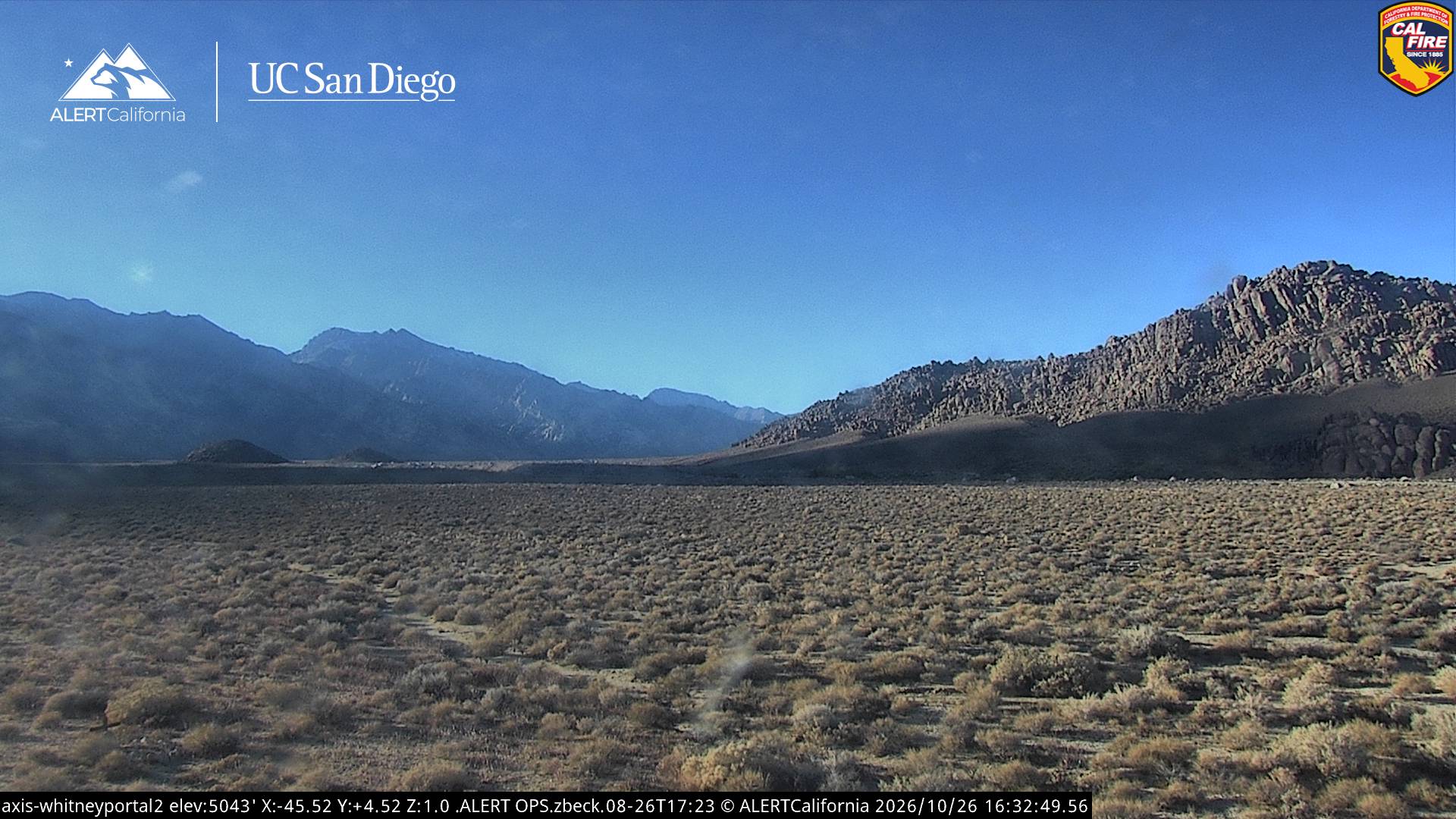
University Peak周辺のライブカメラ
University Peak周辺の歴史
University Peak周辺の町
- Woodlake76 km先