Errigal
749 m2.457 pés
Montanha · Derryveagh Mountains · Irlanda
Errigal is a 751-metre (2,464 ft) mountain near Gweedore in County Donegal, Ireland. It is the tallest peak of the Derryveagh Mountains and the tallest peak in County Donegal. Errigal is also the most southern and the highest of the mountain chain called the "Seven Sisters" by locals.
Da Wikipedia, CC BY-SA · Ler o artigo
O ponto mais alto de Derryveagh Mountains
No cume · previsão para 0:00
6 °CChuva · vento de 40 km/h de SO
 Ver em 3D
Clima no cume de Errigal, 749 m
- 0:006 °CSO 40 km/h1,1 mm
- 3:004 °CSO 49 km/h3,3 mm
- 6:004 °CSO 46 km/h2,4 mm
- 9:005 °CO 47 km/h0,6 mm
- 12:006 °CO 44 km/h1,3 mm
- 15:004 °CO 40 km/h1,9 mm
- 18:003 °CSO 40 km/h1,4 mm
- 21:004 °CSO 31 km/h3,3 mm
| Dia | Céu | Máx. / mín. | Chuva | Vento até |
|---|---|---|---|---|
| Hoje | Chuva fraca | 7 °C / 3 °C | 15,3 mm | 54 km/h |
| qua., 28 de out. | Chuva fraca | 9 °C / 6 °C | 9,3 mm | 40 km/h |
| qui., 29 de out. | Parcialmente nublado | 9 °C / 6 °C | 1,6 mm | 28 km/h |
| sex., 30 de out. | Parcialmente nublado | 9 °C / 4 °C | 4,1 mm | 32 km/h |
| sáb., 31 de out. | Nublado | 6 °C / 3 °C | 3,4 mm | 7 km/h |
| dom., 1 de nov. | Parcialmente nublado | 7 °C / 3 °C | 0,1 mm | 13 km/h |
| seg., 2 de nov. | Céu limpo | 7 °C / 1 °C | – | 14 km/h |
Previsão: MET Norway (CC BY 4.0), atualizada às 23:20 GMT. Horários locais.
Ficha técnica
- Tipo
- Montanha
- Altitude acima do nível do mar
- 749 m (2.457 pés)
- Proeminência
- 688 m (2.257 pés)
- Cordilheira
- Derryveagh Mountains
- País
- Irlanda
- Ponto mais alto de
- Derryveagh Mountains
- Coordenadas
- 55.033°N 8.112°W
- Fonte
- Wikidata, CC0
Errigal
Mountain in Donegal, Ireland
Errigal is a 751-metre (2,464 ft) mountain near Gweedore in County Donegal, Ireland. It is the tallest peak of the Derryveagh Mountains and the tallest peak in County Donegal. Errigal is also the most southern and the highest of the mountain chain called the "Seven Sisters" by locals. The other peaks of the Seven Sisters are Muckish, Crocknalaragagh, Aghla Beg, Ardloughnabrackbaddy, Aghla More, and Mackoght.
Da Wikipedia, CC BY-SA · Ler o artigo
Picos perto de Errigal
- Mackoght555 m · a 1,4 kmNo mapa
- Aghla More584 m · a 4,2 kmNo mapa
- Aghla Beg603 m · a 5,4 kmNo mapa
- Crocknalaragagh471 m · a 7,5 kmNo mapa
- Muckish666 m · a 11 kmNo mapa
- Raghtin More502 m · a 45 kmNo mapa
- Holywell Hill260 m · a 46 kmNo mapa
- Slieve Snaght615 m · a 53 kmNo mapa
- Slieve League601 m · a 57 kmNo mapa
- Loughsalt Mountain469 m · a 21 kmNo mapa
Os mais altos de Derryveagh Mountains
- Errigal749 mNo mapa
- Muckish666 mNo mapa
- Crocknalaragagh471 mNo mapa
Montanhas mais altas de Irlanda
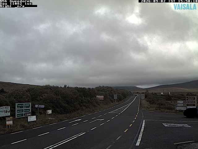
Webcams perto de Errigal
História ao redor de Errigal
Cidades perto de Errigal
- Letterkennya 26 km
- Derrya 51 km
- Omagha 71 km