Ilfjellet
1.219 m3.998 pés
Montanha · Noruega
Ilfjellet is a mountain in Rennebu Municipality in Trøndelag county, Norway. It is located in the northeastern part of the municipality, about 13 kilometres (8.1 mi) north of the municipal center of Berkåk and 10 kilometres (6.2 mi) southeast of Å in neighboring Orkland Municipality.
Da Wikipedia, CC BY-SA · Ler o artigo
No cume · previsão para 4:00
1 °CNublado · vento de 29 km/h de SE
 Ver em 3D
Clima no cume de Ilfjellet, 1.219 m
- 4:001 °CSE 29 km/h–
- 7:00-0 °CS 44 km/h–
- 10:001 °CSE 45 km/h–
- 13:003 °CS 59 km/h–
- 16:003 °CS 57 km/h–
- 19:004 °CS 40 km/h–
- 22:002 °CS 42 km/h–
- 1:000 °CS 27 km/h–
| Dia | Céu | Máx. / mín. | Chuva | Vento até |
|---|---|---|---|---|
| Hoje | Nublado | 4 °C / -0 °C | – | 63 km/h |
| qua., 28 de out. | Céu limpo | 2 °C / -1 °C | – | 41 km/h |
| qui., 29 de out. | Chuva | 4 °C / 0 °C | 3,6 mm | 36 km/h |
| sex., 30 de out. | Nublado | 5 °C / 3 °C | – | 33 km/h |
| sáb., 31 de out. | Nublado | 5 °C / 3 °C | – | 17 km/h |
| dom., 1 de nov. | Chuva com neve | 2 °C / 1 °C | 3,5 mm | 29 km/h |
| seg., 2 de nov. | Nublado | 3 °C / 1 °C | 7,1 mm | 36 km/h |
Previsão: MET Norway (CC BY 4.0), atualizada às 00:31 GMT+1. Horários locais.
Ficha técnica
- Tipo
- Montanha
- Altitude acima do nível do mar
- 1.219 m (3.998 pés)
- Proeminência
- 786 m (2.579 pés)
- Isolamento
- a 18 km de um terreno mais alto
- País
- Noruega
- Coordenadas
- 62.945°N 9.940°E
- Fonte
- Wikidata, CC0
Ilfjellet
Mountain in Rennebu, Norway
Ilfjellet is a mountain in Rennebu Municipality in Trøndelag county, Norway. It is located in the northeastern part of the municipality, about 13 kilometres (8.1 mi) north of the municipal center of Berkåk and 10 kilometres (6.2 mi) southeast of Å in neighboring Orkland Municipality. The mountain is 1,218 metres (3,996 ft) tall.
Da Wikipedia, CC BY-SA · Ler o artigo
Picos perto de Ilfjellet
- Trollhetta1.614 m · a 33 kmNo mapa
- Blåhø1.671 m · a 37 kmNo mapa
- Vassfjellet710 m · a 41 kmNo mapa
- Allmannberget1.342 m · a 43 kmNo mapa
- Snota1.669 m · a 44 kmNo mapa
- Neådalssnota1.621 m · a 47 kmNo mapa
- Ruten1.040 m · a 47 kmNo mapa
- Forollhogna1.332 m · a 52 kmNo mapa
- Storheia566 m · a 53 kmNo mapa
- Gråkallen551 m · a 55 kmNo mapa
Montanhas mais altas de Noruega
- Galdhøpiggen2.469 mNo mapa
- Glittertinden2.464 mNo mapa
- Store Skagastølstind2.406 mNo mapa
- Surtningssue2.368 mNo mapa
- Store Memurutinden2.365 mNo mapa
- Store Hellstugutinden2.346 mNo mapa
- Store Knutsholstinden2.339 mNo mapa
- Tjørnholstind2.323 mNo mapa
- Bukkehøe2.314 mNo mapa
- Dovrefjell2.286 mNo mapa
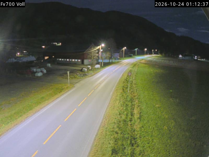
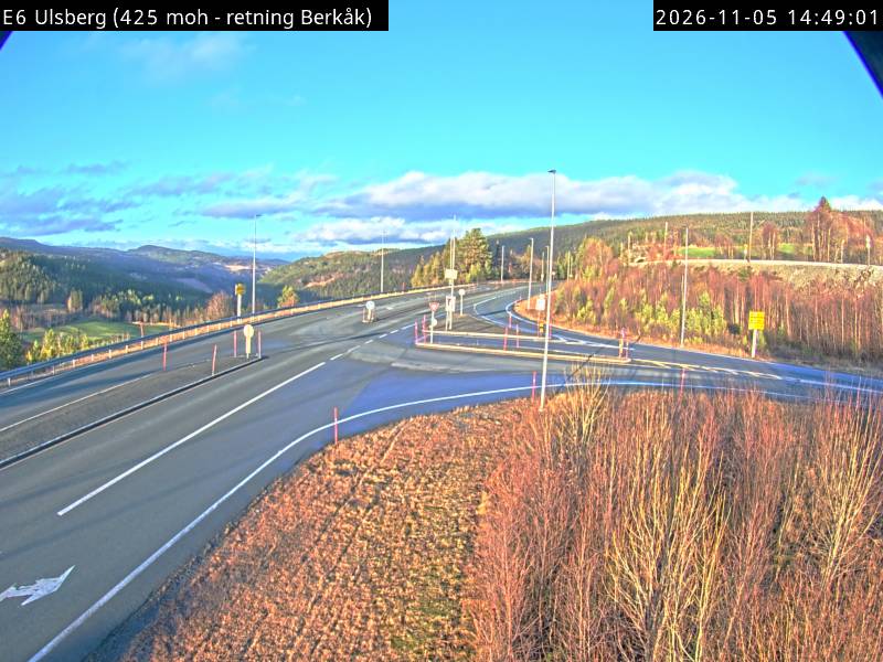
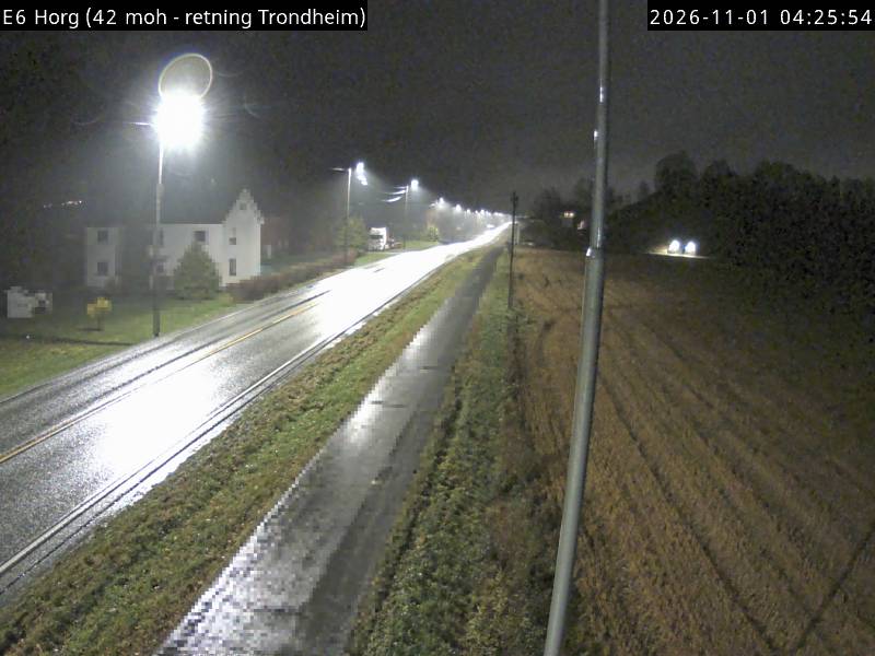
Webcams perto de Ilfjellet
Cidades perto de Ilfjellet
- Trondheima 59 km
- Stjørdalshalsena 76 km