Lushaugen
Montanha · Noruega
Lushaugen is a mountain in southern Norway. It is located on the border of Gran Municipality in Innlandet county and Hurdal Municipality in Akershus county.
Da Wikipedia, CC BY-SA · Ler o artigo
No cume · previsão para 7:00
3 °CParcialmente nublado · vento de 12 km/h de SO
 Ver em 3D
Previsão do tempo em Lushaugen
- 7:003 °CSO 12 km/h–
- 10:004 °CSO 13 km/h–
- 13:006 °CSO 15 km/h–
- 16:006 °CO 14 km/h–
- 19:004 °CO 12 km/h–
- 22:004 °CO 14 km/h–
- 1:004 °CNO 15 km/h–
- 4:003 °CO 8 km/h–
| Dia | Céu | Máx. / mín. | Chuva | Vento até |
|---|---|---|---|---|
| Hoje | Céu limpo | 7 °C / 3 °C | – | 16 km/h |
| sex., 30 de out. | Parcialmente nublado | 8 °C / 3 °C | – | 15 km/h |
| sáb., 31 de out. | Parcialmente nublado | 7 °C / 3 °C | – | 7 km/h |
| dom., 1 de nov. | Parcialmente nublado | 5 °C / 3 °C | – | 10 km/h |
| seg., 2 de nov. | Parcialmente nublado | 4 °C / -0 °C | – | 8 km/h |
| ter., 3 de nov. | Parcialmente nublado | 7 °C / 3 °C | – | 9 km/h |
| qua., 4 de nov. | Parcialmente nublado | 5 °C / 1 °C | – | 5 km/h |
Previsão: MET Norway (CC BY 4.0), atualizada às 22:30 GMT+1. Horários locais.
Ficha técnica
- Tipo
- Montanha
- País
- Noruega
- Coordenadas
- 60.431°N 10.687°E
- Fonte
- Wikidata, CC0
Lushaugen
Mountain in Innlandet, Norway
Lushaugen is a mountain in southern Norway. It is located on the border of Gran Municipality in Innlandet county and Hurdal Municipality in Akershus county. The 812-metre (2,664 ft) tall mountain is located about 7 kilometres (4.3 mi) northeast of the village of Jaren and about the same distance to the east of the village of Brandbu.
Da Wikipedia, CC BY-SA · Ler o artigo
Picos perto de Lushaugen
- Fjellsjøkampen812 m · a 14 kmNo mapa
- Kjerkeberget631 m · a 33 kmNo mapa
- Varingskollen546 m · a 38 kmNo mapa
- Høgfjell1.009 m · a 38 kmNo mapa
- Urdevassfjell959 m · a 42 kmNo mapa
- Sørbølfjellet1.285 m · a 60 kmNo mapa
- FallhaugenMontanha · a 2,9 kmNo mapa
- RognhaugenMontanha · a 11 kmNo mapa
- BrandbukampenMontanha · a 11 kmNo mapa
- Signalen694 m · a 14 kmNo mapa
Montanhas mais altas de Noruega
- Galdhøpiggen2.469 mNo mapa
- Glittertinden2.464 mNo mapa
- Store Skagastølstind2.406 mNo mapa
- Surtningssue2.368 mNo mapa
- Store Memurutinden2.365 mNo mapa
- Store Hellstugutinden2.346 mNo mapa
- Store Knutsholstinden2.339 mNo mapa
- Tjørnholstind2.323 mNo mapa
- Bukkehøe2.314 mNo mapa
- Dovrefjell2.286 mNo mapa
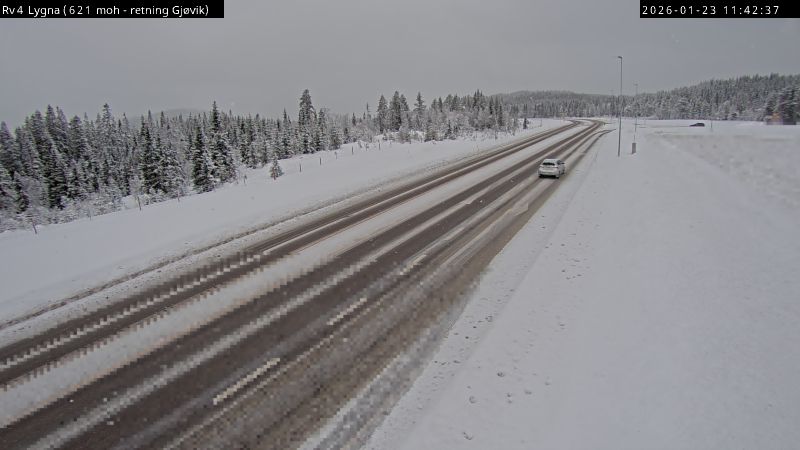
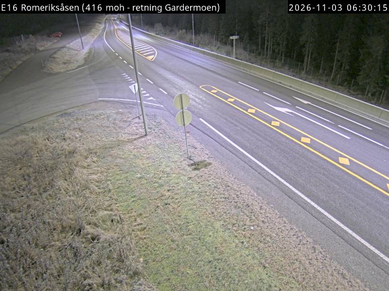
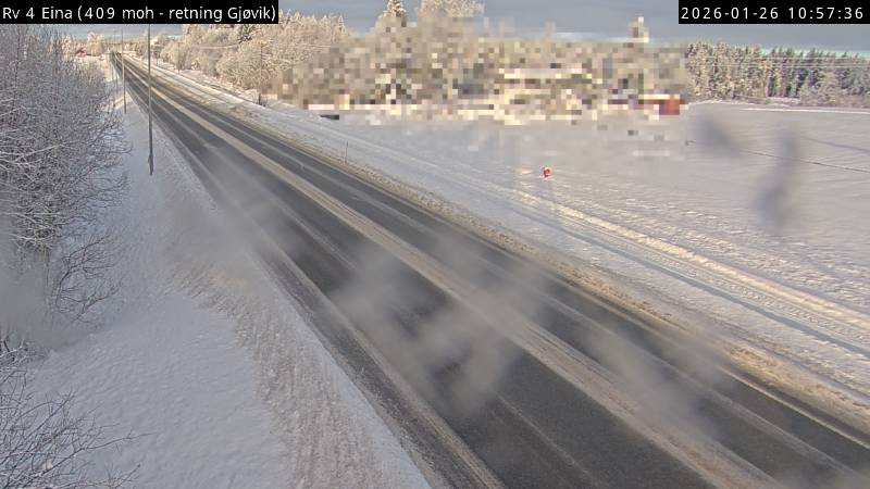
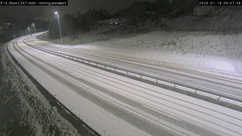
Webcams perto de Lushaugen
História ao redor de Lushaugen
Cidades perto de Lushaugen
- Gjøvika 41 km
- Hamara 45 km
- Lillestrøma 56 km
- Christianiaa 58 km
- Askera 68 km
- Lillehammera 77 km