Red Lake Peak
10.068 pés3.069 m
Montanha · Estados Unidos
Red Lake Peak is believed to be the vantage point from which John C. Fremont and Charles Preuss made the first recorded sighting of Lake Tahoe by Europeans in February 1844 as Fremont's exploratory expedition made a desperate crossing of the Sierra Nevada through what is now Carson Pass on their way to obtain…
Da Wikipedia, CC BY-SA · Ler o artigo
No cume · previsão para 19:00
25 °FCéu limpo · vento de 9 mph de SO
 Ver em 3D
Clima no cume de Red Lake Peak, 10.068 pés
- 19:0025 °FSO 9 mph–
- 22:0023 °FSO 5 mph–
- 1:0023 °FS 4 mph–
- 4:0024 °FSO 4 mph–
- 7:0023 °FSO 4 mph–
- 10:0037 °FSO 6 mph–
- 13:0042 °FSO 8 mph–
- 16:0041 °FSO 6 mph–
| Dia | Céu | Máx. / mín. | Chuva | Vento até |
|---|---|---|---|---|
| qua., 28 de out. | Céu limpo | 43 °F / 23 °F | – | 8 mph |
| qui., 29 de out. | Nublado | 39 °F / 26 °F | – | 13 mph |
| sex., 30 de out. | Neve | 32 °F / 23 °F | 0,12 pol. | 10 mph |
| sáb., 31 de out. | Neve | 28 °F / 22 °F | 0,34 pol. | 10 mph |
| dom., 1 de nov. | Céu limpo | 26 °F / 16 °F | – | 12 mph |
| seg., 2 de nov. | Céu limpo | 36 °F / 16 °F | – | 8 mph |
| ter., 3 de nov. | Nublado | 48 °F / 27 °F | – | 3 mph |
Previsão: MET Norway (CC BY 4.0), atualizada às 16:18 GMT-7. Horários locais.
Ficha técnica
- Tipo
- Montanha
- Altitude acima do nível do mar
- 10.068 pés (3.069 m)
- Proeminência
- 1.463 pés (446 m)
- País
- Estados Unidos
- Coordenadas
- 38.714°N 119.987°W
- Fonte
- Wikidata, CC0
Red Lake Peak
Mountain in the American state of California
Red Lake Peak is believed to be the vantage point from which John C. Fremont and Charles Preuss made the first recorded sighting of Lake Tahoe by Europeans in February 1844 as Fremont's exploratory expedition made a desperate crossing of the Sierra Nevada through what is now Carson Pass on their way to obtain provisions at Sutter's Fort.
Da Wikipedia, CC BY-SA · Ler o artigo
Picos perto de Red Lake Peak
- Round Top10.381 pés · a 5,8 kmNo mapa
- Deadwood Peak9.846 pés · a 9,6 kmNo mapa
- Thunder Mountain9.414 pés · a 10 kmNo mapa
- Talking Mountain8.828 pés · a 15 kmNo mapa
- Ralston Peak9.239 pés · a 17 kmNo mapa
- Echo Peak8.899 pés · a 18 kmNo mapa
- Freel Peak10.886 pés · a 18 kmNo mapa
- Raymond Peak10.013 pés · a 18 kmNo mapa
- Angora Peak8.588 pés · a 19 kmNo mapa
- Jobs Peak10.638 pés · a 19 kmNo mapa
Montanhas mais altas de Estados Unidos
- Monte Denali20.308 pésNo mapa
- Monte Santo Elias18.009 pésNo mapa
- Monte Foraker17.402 pésNo mapa
- Mount Bona16.535 pésNo mapa
- Monte Blackburn16.390 pésNo mapa
- Monte Sanford16.237 pésNo mapa
- Monte Vancouver15.787 pésNo mapa
- Monte Churchill15.636 pésNo mapa
- Monte Fairweather15.325 pésNo mapa
- Monte Hubbard14.951 pésNo mapa
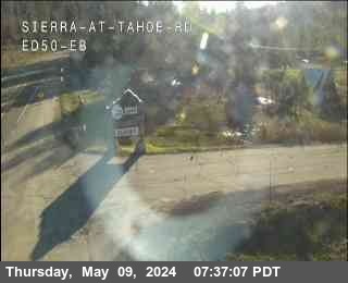
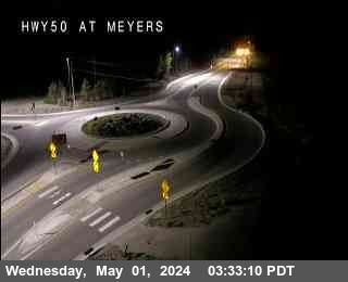
Webcams perto de Red Lake Peak
História ao redor de Red Lake Peak
- Tamarack Fire2021
Cidades perto de Red Lake Peak
- South Lake Tahoea 24 km
- Carson Citya 53 km
- Truckeea 70 km
- Placervillea 70 km
- Sutter Creeka 79 km