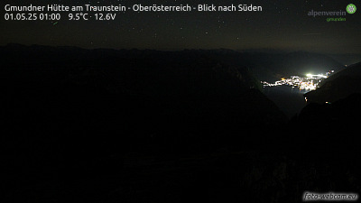
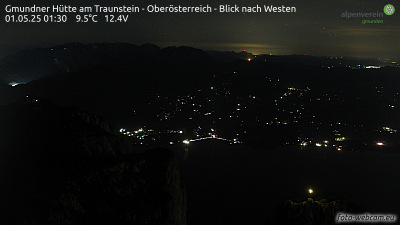
Traunstein
1.691 m5.548 pés
Montanha · Pré-Alpes da Alta Áustria · Áustria
Traunstein is the highest mountain on the east bank of Traunsee in the district of Gmunden, Austria. As measured by the height above sea level of its summit it is 1,691 metres (5,548 ft) high.
Da Wikipedia, CC BY-SA · Ler o artigo
No cume · previsão para 2:00
-2 °CCéu limpo · vento de 3 km/h de S
 Ver em 3D
Clima no cume de Traunstein, 1.691 m
- 2:00-2 °CS 3 km/h–
- 5:00-2 °CS 4 km/h–
- 8:000 °CSE 4 km/h–
- 11:002 °CL 4 km/h–
- 14:006 °CNE 8 km/h–
- 17:002 °CL 5 km/h–
- 20:001 °CS 3 km/h–
- 23:000 °CSO 4 km/h–
| Dia | Céu | Máx. / mín. | Chuva | Vento até |
|---|---|---|---|---|
| Hoje | Céu limpo | 6 °C / -2 °C | – | 8 km/h |
| qua., 28 de out. | Nublado | 6 °C / 0 °C | 5,7 mm | 18 km/h |
| qui., 29 de out. | Nublado | 3 °C / -0 °C | 4,3 mm | 14 km/h |
| sex., 30 de out. | Poucas nuvens | 3 °C / -4 °C | – | 9 km/h |
| sáb., 31 de out. | Céu limpo | 2 °C / -4 °C | – | 14 km/h |
| dom., 1 de nov. | Poucas nuvens | 4 °C / -4 °C | – | 5 km/h |
| seg., 2 de nov. | Poucas nuvens | 2 °C / -2 °C | – | 11 km/h |
Previsão: MET Norway (CC BY 4.0), atualizada às 00:19 GMT+1. Horários locais.
Ficha técnica
- Tipo
- Montanha
- Altitude acima do nível do mar
- 1.691 m (5.548 pés)
- Proeminência
- 694 m (2.277 pés)
- Isolamento
- a 12 km de um terreno mais alto
- Cordilheira
- Pré-Alpes da Alta Áustria
- País
- Áustria
- Coordenadas
- 47.874°N 13.841°E
- Fonte
- Wikidata, CC0
Traunstein (mountain)
Mountain in Gmunden, Austria
Traunstein is the highest mountain on the east bank of Traunsee in the district of Gmunden, Austria. As measured by the height above sea level of its summit it is 1,691 metres (5,548 ft) high. Because of its almost vertical walls ending directly in the lake and secluded, advanced position Traunstein looks like a boulder in the landscape.
Da Wikipedia, CC BY-SA · Ler o artigo
Picos perto de Traunstein
- Feuerkogel1.592 m · a 11 kmNo mapa
- Großer Höllkogel1.862 m · a 15 kmNo mapa
- Brunnkogel1.708 m · a 17 kmNo mapa
- Hochleckenkogel1.691 m · a 17 kmNo mapa
- Brennerin1.602 m · a 20 kmNo mapa
- Rotgschirr2.270 m · a 22 kmNo mapa
- Großer Priel2.515 m · a 24 kmNo mapa
- Loser1.837 m · a 24 kmNo mapa
- Spitzmauer2.446 m · a 26 kmNo mapa
- Schafberg1.782 m · a 32 kmNo mapa
Os mais altos de Pré-Alpes da Alta Áustria
Montanhas mais altas de Áustria
- Grossglockner3.798 mNo mapa
- Wildspitze3.768 mNo mapa
- Weißkugel3.738 mNo mapa
- Großvenediger3.657 mNo mapa
- Hintere Schwärze3.624 mNo mapa
- Großes Wiesbachhorn3.564 mNo mapa
- Ramolkogel3.549 mNo mapa
- Schalfkogel3.537 mNo mapa
- Watzespitze3.532 mNo mapa
- Fineilspitze3.514 mNo mapa