打开实时地图
你会看到什么
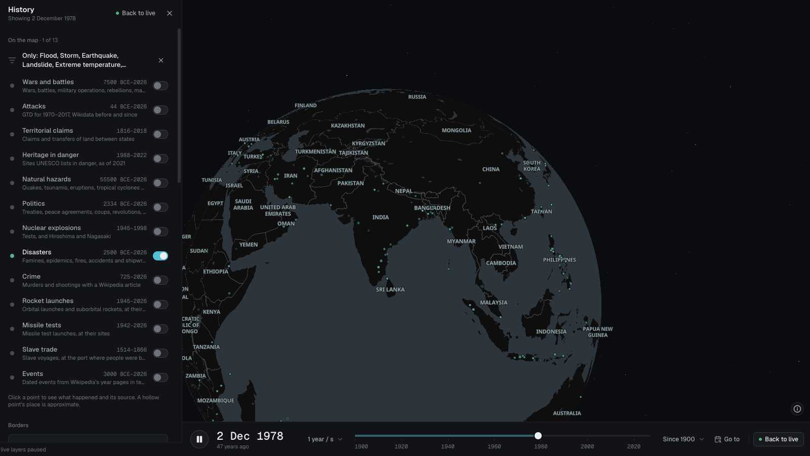
- 每个风暴的路径是一条细线,并在风力最强处有一个自然灾害点。
- 点击可查看峰值风速、等级、所在洋盆和达到峰值的时间。
- 从本页打开时,地图会播放 2000 年至 2025 年。
数据来源
- IBTrACSNOAA NCEI 的国际气候管理最佳路径档案(International Best Track Archive for Climate Stewardship)4.01 版:合并了全球各预报机构的路径。
各机构完成最佳路径后,IBTrACS 会添加相应风暴;TAKIP 在重新导入数据集时获取。
须知
- 点标出风暴达到峰值的位置,往往远在海上;线条显示其完整路径,包括登陆地点。
- 等级采用萨菲尔-辛普森等级,依据美国机构的一分钟风速;没有这一风速的风暴(约一半)没有等级。
- 西北太平洋占将近三分之一的风暴;在卫星监测海洋之前,远离船只和陆地的弱风暴常被遗漏。
此处每个十年最早记录的
- Unnamed tropical cyclone1870年1月1日 · 热带气旋
- Unnamed tropical cyclone1880年1月1日 · 热带气旋
- Unnamed tropical cyclone1890年1月11日 · 热带气旋
- The 1900 Galveston hurricane, killing around 8,000 people1900年9月8日 · 热带气旋
- Unnamed tropical cyclone1910年1月10日 · 热带气旋
- Unnamed tropical storm1920年1月4日 · 热带气旋
- 1935 Labor Day hurricane: The strongest hurricane ever to strike the United States landfalls in the Upper Florida Keys as a Category 5 storm with 185 mph…1935年9月2日 · 热带气旋
- Im Taifun Cobra sinken vor der Insel Luzon (Philippinen) drei Zerstörer der US-Marine, 28 weitere Schiffe werden beschädigt (davon neun schwer), 146 Flugzeuge…1944年12月18日 · 热带气旋
- Unnamed tropical storm1950年1月4日 · 热带气旋
- Unnamed cyclone1960年1月11日 · 热带气旋
- Cyclone Ada1970年1月2日 · 热带气旋
- Cyclone Peni1980年1月1日 · 热带气旋
- Tropical storm Rosita1990年1月4日 · 热带气旋
- Cyclone Babiola2000年1月3日 · 热带气旋
- Severe Tropical Cyclone Yasi makes landfall at near Mission Beach, south of Innisfail, Queensland2011年2月3日 · 热带气旋
- More than 270 people are killed in Indonesia and East Timor after Cyclone Seroja strikes East Nusa Tenggara and the island of Timor2021年4月4日 · 热带气旋