美国的山
3D 查看Anderson Peak
山 · 圣贝纳迪诺山脉 · 美国
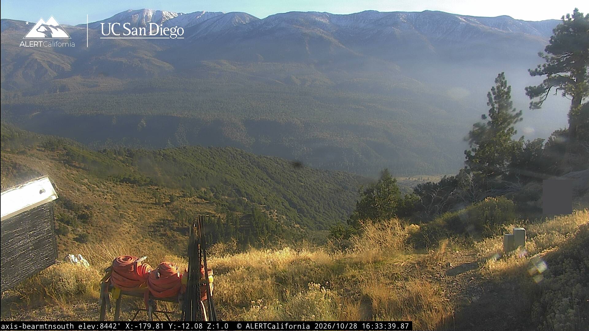
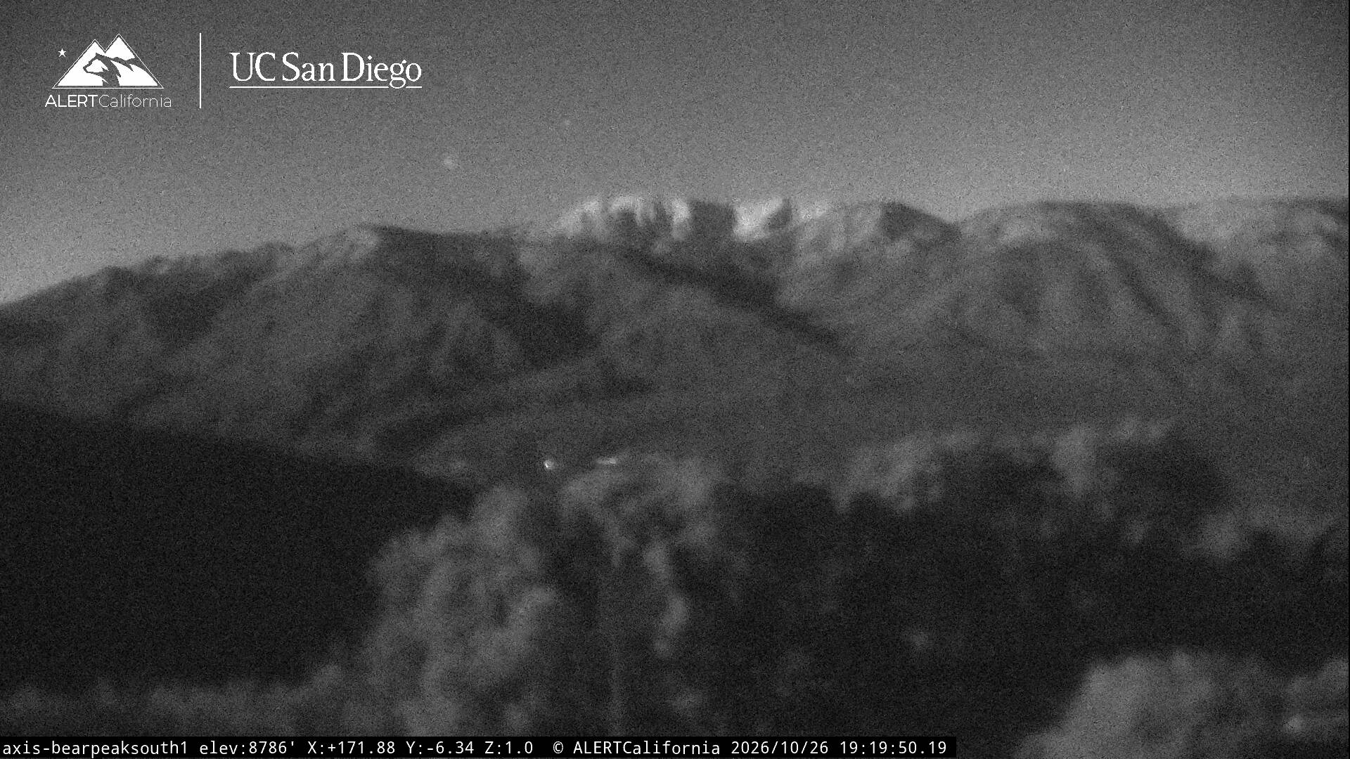
Anderson Peak is a mountain on the Mount San Gorgonio crestline in Southern California's San Gorgonio Wilderness, which is part of the San Bernardino National Forest. It is 3.2 miles (5.1 km) from Jepson Peak. Although not above the tree line, snow tends to cover the crest from early winter until late spring.
来自Wikipedia,CC BY-SA · 阅读文章
山顶 · 15:00 的预报
47 °F小雨 · 西南风 6 英里/小时
Anderson Peak天气预报
- 15:0047 °F西南 6 英里/小时0.01 英寸
- 18:0038 °F西 4 英里/小时–
- 21:0038 °F西北 5 英里/小时–
- 0:0037 °F北 5 英里/小时–
- 3:0036 °F北 6 英里/小时–
- 6:0035 °F北 6 英里/小时–
- 9:0038 °F西 7 英里/小时–
- 12:0040 °F西南 10 英里/小时0 英寸
| 日期 | 天气 | 最高 / 最低 | 雨 | 最大风速 |
|---|---|---|---|---|
| 10月30日周五 | 多云 | 40 °F / 32 °F | 0.01 英寸 | 11 英里/小时 |
| 10月31日周六 | 阴 | 44 °F / 31 °F | 0.34 英寸 | 6 英里/小时 |
| 11月1日周日 | 雨夹雪 | 35 °F / 27 °F | 0.63 英寸 | 10 英里/小时 |
| 11月2日周一 | 晴 | 48 °F / 27 °F | – | 3 英里/小时 |
| 11月3日周二 | 晴 | 55 °F / 39 °F | – | 3 英里/小时 |
| 11月4日周三 | 阴 | 57 °F / 42 °F | – | 4 英里/小时 |
| 11月5日周四 | 晴 | 50 °F / 37 °F | – | 5 英里/小时 |
预报来自 MET Norway(CC BY 4.0),更新于 GMT-7 10:19。时间均为当地时间。
基本信息
Anderson Peak附近的山峰
- Jepson Peak11,209 英尺 · 5.1 公里外地图上
- 圣戈尔贡尼奥山11,503 英尺 · 6.9 公里外地图上
- Ranger Peak5,085 英尺 · 32 公里外地图上
- 圣哈辛托峰10,833 英尺 · 40 公里外地图上
- Box Springs Mountain3,081 英尺 · 40 公里外地图上
- Slover Mountain1,184 英尺 · 42 公里外地图上
- Sugarloaf Mountain1,947 英尺 · 42 公里外地图上
- Tahquitz Peak8,846 英尺 · 46 公里外地图上
- Victoria Hill1,005 英尺 · 48 公里外地图上
- Mount Rubidoux1,329 英尺 · 49 公里外地图上