德国的山
Buchwaldskopf
492 米1,614 英尺
山 · 陶努斯山 · 德国
The Buchwaldskopf is a hill in the southern foothills of Mount Nickel in the Taunus near Oberjosbach, Niedernhausen in Hesse, Germany.
来自Wikipedia,CC BY-SA · 阅读文章
山顶 · 15:00 的预报
11 °C多云 · 西北风 12 km/h
 3D 查看
Buchwaldskopf山顶天气,492 米
- 15:0011 °C西北 12 km/h–
- 18:006 °C北 5 km/h–
- 21:005 °C西北 4 km/h–
- 0:004 °C西北 6 km/h–
- 3:003 °C北 3 km/h–
- 6:004 °C东北 2 km/h–
- 9:007 °C北 4 km/h–
- 12:0011 °C东 4 km/h–
| 日期 | 天气 | 最高 / 最低 | 雨 | 最大风速 |
|---|---|---|---|---|
| 10月29日周四 | 少云 | 11 °C / 3 °C | – | 8 km/h |
| 10月30日周五 | 多云 | 11 °C / 2 °C | – | 12 km/h |
| 10月31日周六 | 晴 | 10 °C / 2 °C | – | 10 km/h |
| 11月1日周日 | 少云 | 9 °C / 2 °C | – | 4 km/h |
| 11月2日周一 | 阴 | 8 °C / 5 °C | 0.5 mm | 18 km/h |
| 11月3日周二 | 少云 | 8 °C / 2 °C | 0.2 mm | 12 km/h |
| 11月4日周三 | 阴 | 9 °C / 4 °C | 0.1 mm | 11 km/h |
预报来自 MET Norway(CC BY 4.0),更新于 GMT+1 06:21。时间均为当地时间。
基本信息
Buchwaldskopf附近的山峰
- Großer Lindenkopf499 米 · 1.1 公里外地图上
- Hohe Kanzel592 米 · 4.6 公里外地图上
- Kellerskopf474 米 · 5.3 公里外地图上
- Rossert516 米 · 5.6 公里外地图上
- Glaskopf687 米 · 8 公里外地图上
- Weilsberg701 米 · 9.5 公里外地图上
- Kleiner Feldberg825 米 · 9.9 公里外地图上
- Neroberg245 米 · 11 公里外地图上
- Großer Feldberg879 米 · 11 公里外地图上
- Sängelberg665 米 · 12 公里外地图上
陶努斯山最高峰
- Großer Feldberg879 米地图上
- Langhals574 米地图上
- Dreibornsköpfe548 米地图上
- Buchwaldskopf492 米地图上
德国最高的山
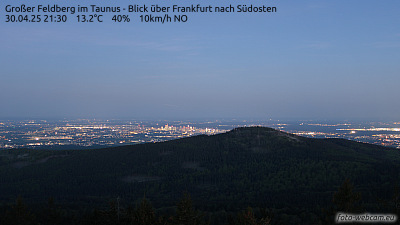
Buchwaldskopf附近的网络摄像头

Buchwaldskopf周边的历史
Buchwaldskopf附近的城镇
- Idstein6.1 公里外
- Kelkheim10 公里外
- Königstein im Taunus10 公里外
- 威斯巴登12 公里外
- Taunusstein13 公里外
- Kronberg Tal13 公里外