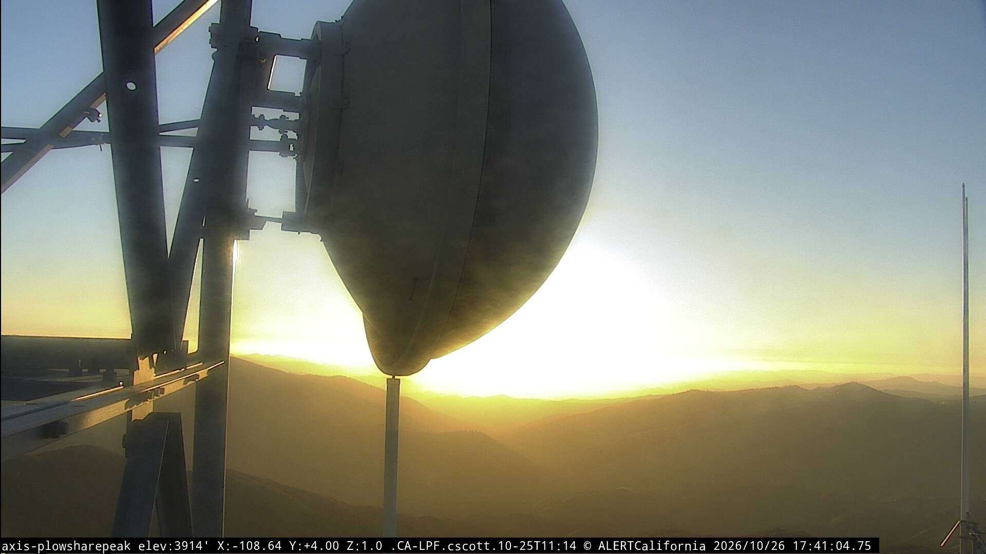
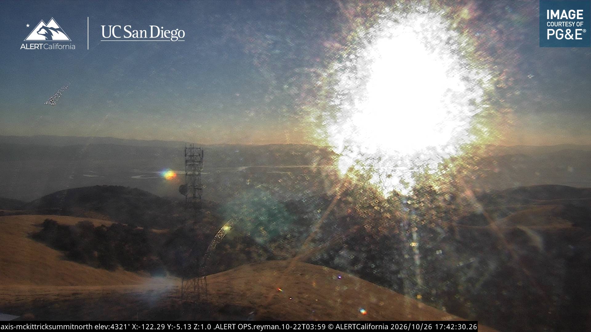
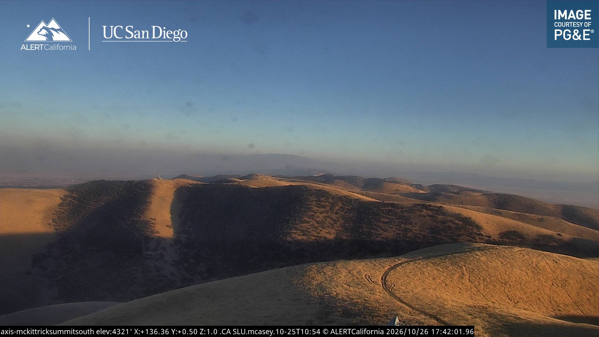
Caliente Mountain
5,109 英尺1,557 米
山 · Caliente Range · 美国
Caliente Mountain is a mountain located in the Southern Coast Ranges of California and is a federally listed wilderness study area for more than 30 years. The summit, at 5,106 feet (1,556 m), is the highest point in San Luis Obispo County and the Caliente Range.
来自Wikipedia,CC BY-SA · 阅读文章
山顶 · 22:00 的预报
47 °F多云 · 东北风 2 英里/小时
 3D 查看
Caliente Mountain山顶天气,5,109 英尺
- 22:0047 °F东北 2 英里/小时–
- 1:0043 °F东南 3 英里/小时–
- 4:0040 °F东南 3 英里/小时–
- 7:0038 °F东南 3 英里/小时–
- 10:0047 °F东 5 英里/小时–
- 13:0057 °F东 5 英里/小时–
- 16:0059 °F东北 7 英里/小时–
- 19:0050 °F东 3 英里/小时–
| 日期 | 天气 | 最高 / 最低 | 雨 | 最大风速 |
|---|---|---|---|---|
| 10月28日周三 | 多云 | 59 °F / 38 °F | – | 7 英里/小时 |
| 10月29日周四 | 阴 | 60 °F / 42 °F | – | 8 英里/小时 |
| 10月30日周五 | 少云 | 53 °F / 46 °F | 0.02 英寸 | 5 英里/小时 |
| 10月31日周六 | 中雨 | 49 °F / 44 °F | 0.13 英寸 | 2 英里/小时 |
| 11月1日周日 | 多云 | 50 °F / 39 °F | 0.01 英寸 | 8 英里/小时 |
| 11月2日周一 | 晴 | 64 °F / 35 °F | – | 4 英里/小时 |
| 11月3日周二 | 少云 | 66 °F / 42 °F | – | 3 英里/小时 |
预报来自 MET Norway(CC BY 4.0),更新于 GMT-7 12:17。时间均为当地时间。
基本信息
Caliente Mountain
Mountain in California, U.S.
Caliente Mountain is a mountain located in the Southern Coast Ranges of California and is a federally listed wilderness study area for more than 30 years. The summit, at 5,106 feet (1,556 m), is the highest point in San Luis Obispo County and the Caliente Range. The mountain receives little snowfall during the winter months.
来自Wikipedia,CC BY-SA · 阅读文章
Caliente Mountain附近的山峰
- Figueroa Mountain4,534 英尺 · 38 公里外地图上
- Madulce Peak6,539 英尺 · 41 公里外地图上
- Little Pine Mountain4,462 英尺 · 49 公里外地图上
- Brush Mountain7,051 英尺 · 52 公里外地图上
- San Emigdio Mountain7,495 英尺 · 56 公里外地图上
- Grouse Mountain8,586 英尺 · 58 公里外地图上
- Eagle Rest Peak6,008 英尺 · 59 公里外地图上
- Sawmill Mountain8,822 英尺 · 59 公里外地图上
- Big Pine Mountain山 · 39 公里外地图上
- Cerro Noroeste山 · 56 公里外地图上