Center Peak
12,730 英尺3,880 米
山 · 美国
Center Peak is a 12,760-foot-elevation (3,890-meter) mountain summit located one mile west of the crest of the Sierra Nevada mountain range, in the northeast corner of Tulare County in northern California.
来自Wikipedia,CC BY-SA · 阅读文章
山顶 · 23:00 的预报
25 °F多云 · 西南风 2 英里/小时
 3D 查看
Center Peak山顶天气,12,730 英尺
- 23:0025 °F西南 2 英里/小时–
- 2:0027 °F西 2 英里/小时–
- 5:0026 °F西南 1 英里/小时–
- 8:0026 °F西南 1 英里/小时–
- 11:0037 °F西 5 英里/小时–
- 14:0037 °F西南 9 英里/小时–
- 17:0033 °F南 4 英里/小时–
- 20:0025 °F东南 2 英里/小时–
| 日期 | 天气 | 最高 / 最低 | 雨 | 最大风速 |
|---|---|---|---|---|
| 10月28日周三 | 少云 | 37 °F / 24 °F | – | 9 英里/小时 |
| 10月29日周四 | 少云 | 34 °F / 22 °F | – | 11 英里/小时 |
| 10月30日周五 | 多云 | 29 °F / 18 °F | 0.02 英寸 | 6 英里/小时 |
| 10月31日周六 | 阴 | 26 °F / 14 °F | 0.03 英寸 | 4 英里/小时 |
| 11月1日周日 | 晴 | 31 °F / 18 °F | – | 3 英里/小时 |
| 11月2日周一 | 晴 | 38 °F / 25 °F | – | 3 英里/小时 |
| 11月3日周二 | 多云 | 43 °F / 31 °F | – | 3 英里/小时 |
预报来自 MET Norway(CC BY 4.0),更新于 GMT-7 12:17。时间均为当地时间。
基本信息
Center Peak
Mountain summit of the Sierra Nevada mountain range, in Tulare County, California
Center Peak is a 12,760-foot-elevation (3,890-meter) mountain summit located one mile west of the crest of the Sierra Nevada mountain range, in the northeast corner of Tulare County in northern California. It is situated in eastern Kings Canyon National Park, 11 miles (18 km) southwest of the community of Independence, 1.8 miles (2.9 km) south of University Peak, and two miles north of Forester Pass.
来自Wikipedia,CC BY-SA · 阅读文章
Center Peak附近的山峰
- University Peak13,595 英尺 · 2.9 公里外地图上
- Mount Keith13,982 英尺 · 2.9 公里外地图上
- Junction Peak13,894 英尺 · 3.5 公里外地图上
- Mount Stanford13,979 英尺 · 3.7 公里外地图上
- Caltech Peak13,832 英尺 · 4.5 公里外地图上
- Mount Ericsson13,589 英尺 · 5.4 公里外地图上
- Kearsarge Peak12,621 英尺 · 7.6 公里外地图上
- Mount Rixford12,894 英尺 · 7.7 公里外地图上
- Mount Tyndall14,025 英尺 · 7.8 公里外地图上
- Mount Bago11,834 英尺 · 8.6 公里外地图上
美国最高的山
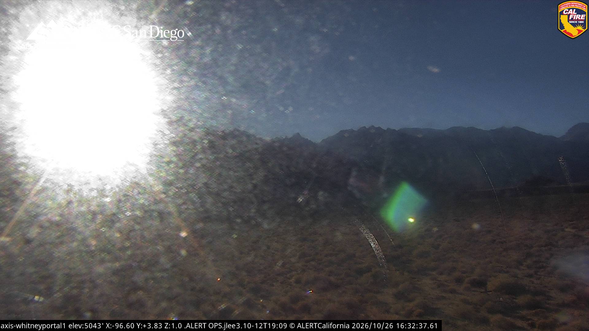
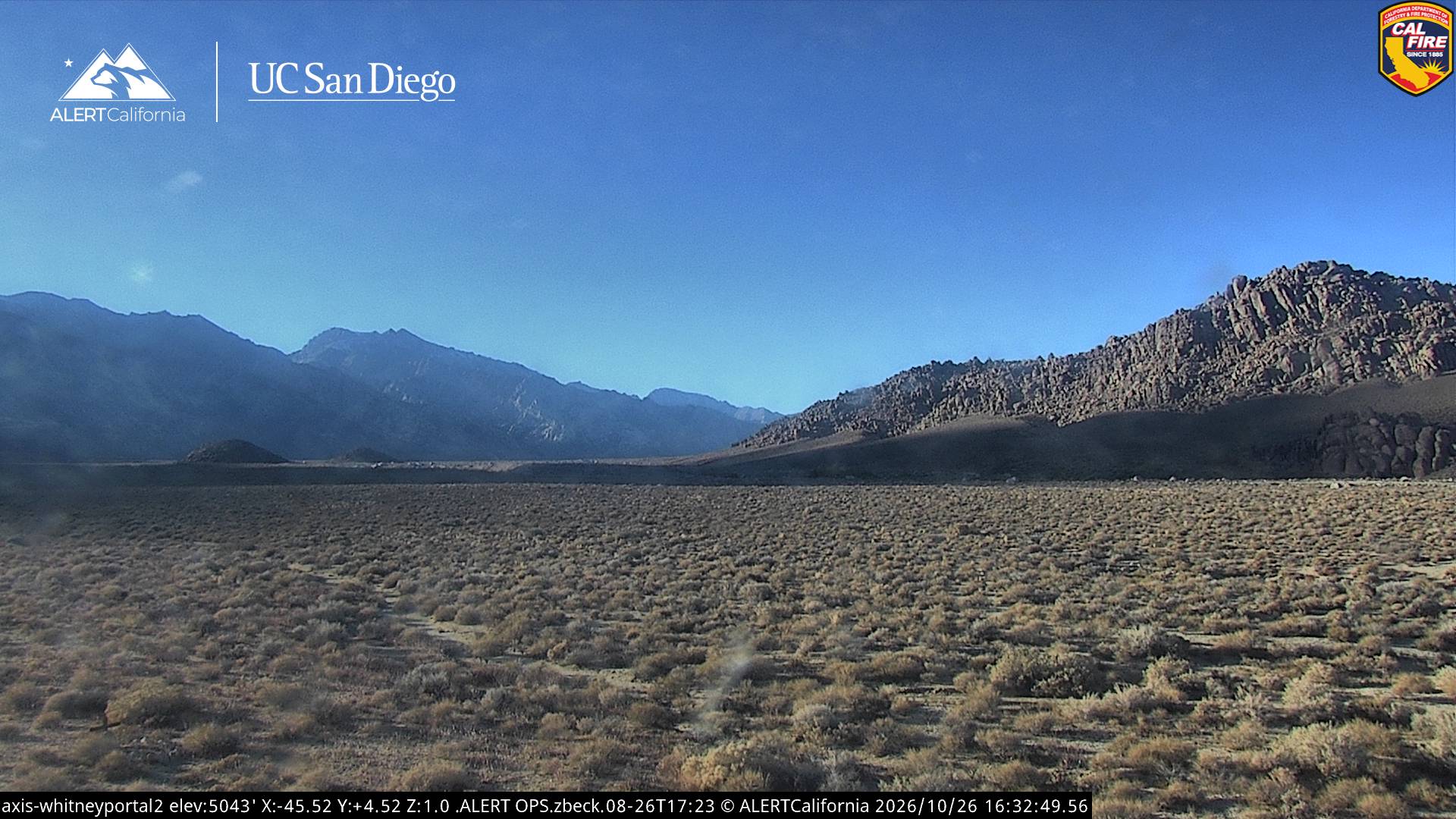
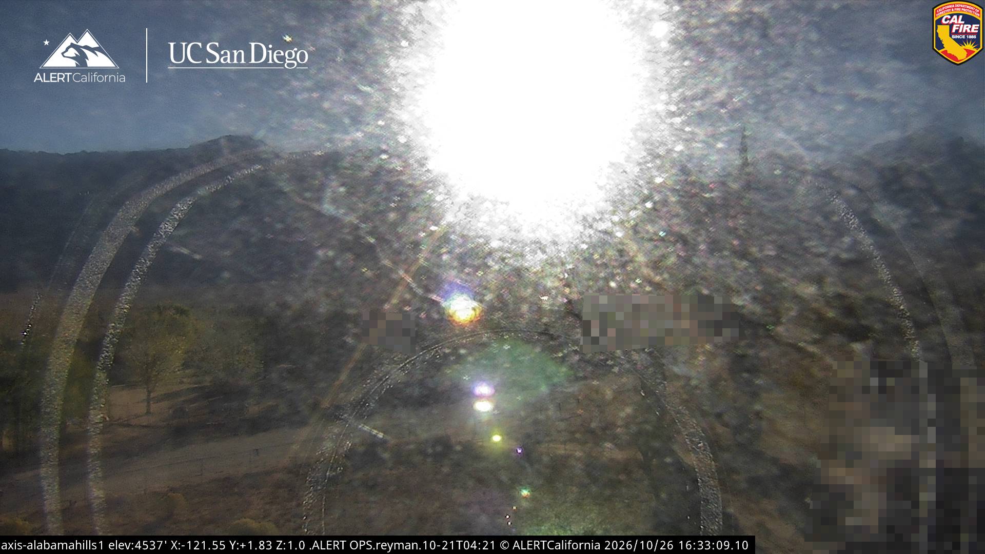
Center Peak附近的网络摄像头
Center Peak周边的历史
Center Peak附近的城镇
- Woodlake74 公里外