Cerro Gregorio
山 · 美国
Cerro Gregorio is a mountain of the Sierra de Cayey measuring 2,043 feet in elevation. The mountain is located in the barrios Jagual and Quebrada Honda in the municipality of San Lorenzo, Puerto Rico, close to the municipal boundary with Caguas.
来自Wikipedia,CC BY-SA · 阅读文章
山顶 · 19:00 的预报
75 °F多云 · 南风 5 英里/小时
 3D 查看
Cerro Gregorio天气预报
- 19:0075 °F南 5 英里/小时0 英寸
- 22:0075 °F南 6 英里/小时0 英寸
- 1:0074 °F东 6 英里/小时0 英寸
- 4:0072 °F东 5 英里/小时0.01 英寸
- 7:0072 °F东南 5 英里/小时–
- 10:0080 °F东南 7 英里/小时–
- 13:0084 °F东南 8 英里/小时0.04 英寸
- 16:0081 °F东南 8 英里/小时–
| 日期 | 天气 | 最高 / 最低 | 雨 | 最大风速 |
|---|---|---|---|---|
| 10月28日周三 | 中雨 | 84 °F / 71 °F | 0.05 英寸 | 9 英里/小时 |
| 10月29日周四 | 中雨 | 81 °F / 72 °F | 0.26 英寸 | 10 英里/小时 |
| 10月30日周五 | 中雨 | 83 °F / 71 °F | 0.1 英寸 | 8 英里/小时 |
| 10月31日周六 | 多云 | 83 °F / 72 °F | 0.04 英寸 | 6 英里/小时 |
| 11月1日周日 | 中雨 | 81 °F / 71 °F | 0.16 英寸 | 6 英里/小时 |
| 11月2日周一 | 小雨 | 81 °F / 73 °F | 0.16 英寸 | 5 英里/小时 |
| 11月3日周二 | 多云 | 80 °F / 73 °F | 0.3 英寸 | 4 英里/小时 |
预报来自 MET Norway(CC BY 4.0),更新于 GMT-4 15:17。时间均为当地时间。
基本信息
Cerro Gregorio
Mountain in San Lorenzo, Puerto Rico
Cerro Gregorio is a mountain of the Sierra de Cayey measuring 2,043 feet in elevation. The mountain is located in the barrios Jagual and Quebrada Honda in the municipality of San Lorenzo, Puerto Rico, close to the municipal boundary with Caguas. The mountain is the site of El Cerro de Nandy, a restaurant and local tourism destination.
来自Wikipedia,CC BY-SA · 阅读文章
Cerro Gregorio附近的山峰
- Altos de San Luis633 英尺 · 13 公里外地图上
- Cerro Las Tetas2,759 英尺 · 24 公里外地图上
- Pico El Yunque3,543 英尺 · 29 公里外地图上
- Los Picachos3,041 英尺 · 30 公里外地图上
- Cerro Doña Juana3,471 英尺 · 50 公里外地图上
- Cerro El Bolo3,527 英尺 · 50 公里外地图上
- Cerro Rosa4,157 英尺 · 55 公里外地图上
- Tres Picachos3,953 英尺 · 56 公里外地图上
- Cerro Maravilla3,953 英尺 · 57 公里外地图上
- Monte Jayuya4,314 英尺 · 59 公里外地图上
美国最高的山
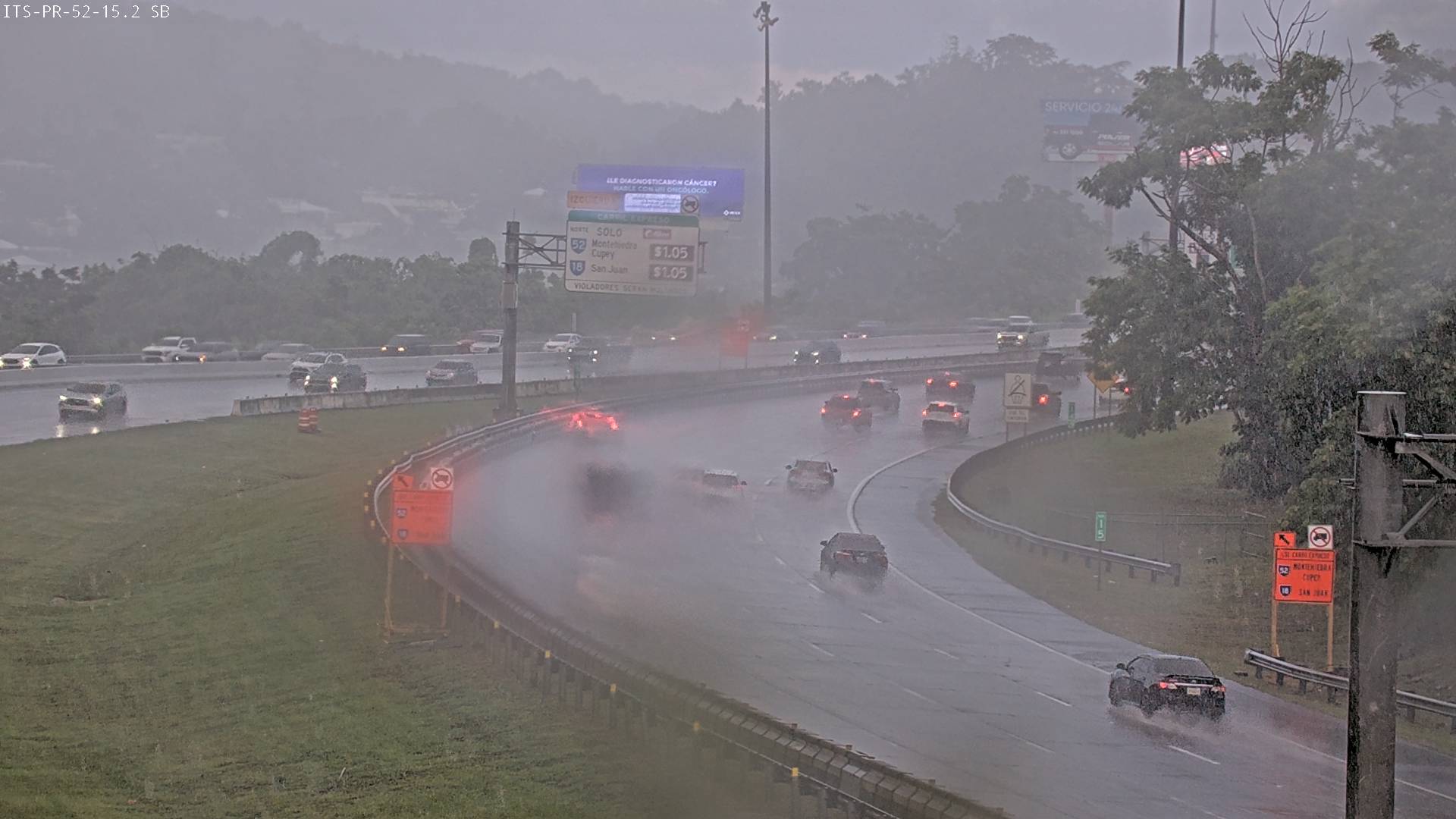
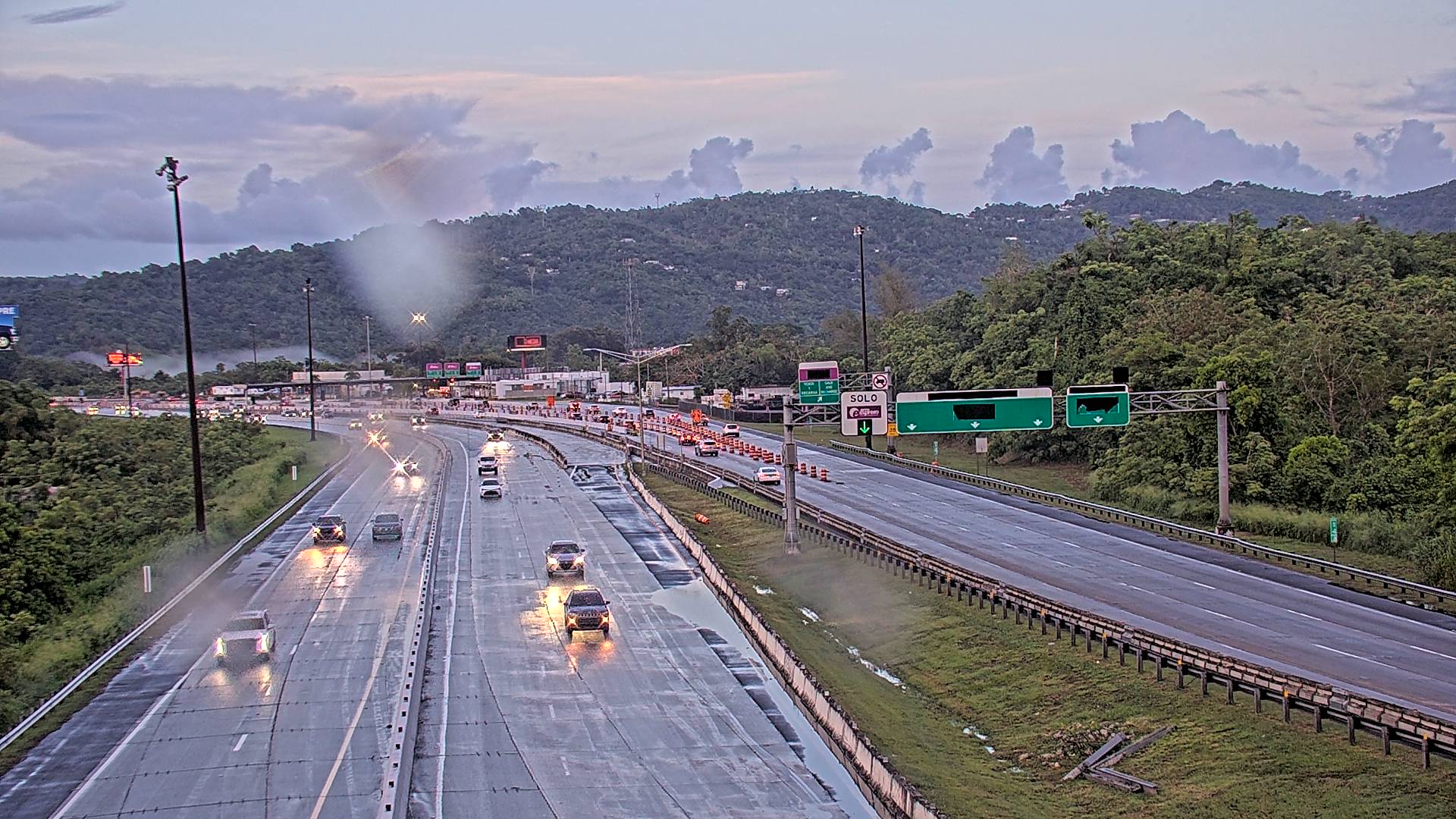
Cerro Gregorio附近的网络摄像头


Cerro Gregorio周边的历史
- Masacre de Cayey1994