Earl Peak
7,037 英尺2,145 米
山 · 溫納奇山脈 · 美国
Earl Peak is a 7,036-foot (2,145-metre) mountain summit located on the edge of the Alpine Lakes Wilderness, in Kittitas County of Washington state. Earl Peak is the eighth-highest point in the Teanaway area of the Wenatchee Mountains.
来自Wikipedia,CC BY-SA · 阅读文章
山顶 · 2:00 的预报
21 °F大雪 · 西南风 7 英里/小时
 3D 查看
Earl Peak山顶天气,7,037 英尺
- 2:0021 °F西南 7 英里/小时0.16 英寸
- 5:0021 °F西南 7 英里/小时0.07 英寸
- 8:0020 °F西 7 英里/小时0.03 英寸
- 11:0024 °F西南 9 英里/小时0.05 英寸
- 14:0026 °F西 10 英里/小时–
- 17:0023 °F西 6 英里/小时–
- 20:0017 °F西北 5 英里/小时–
- 23:0013 °F西北 5 英里/小时–
| 日期 | 天气 | 最高 / 最低 | 雨 | 最大风速 |
|---|---|---|---|---|
| 今天 | 中雪 | 26 °F / 13 °F | 0.31 英寸 | 10 英里/小时 |
| 10月29日周四 | 阴 | 26 °F / 11 °F | – | 9 英里/小时 |
| 10月30日周五 | 小雪 | 25 °F / 14 °F | 0.3 英寸 | 7 英里/小时 |
| 10月31日周六 | 少云 | 28 °F / 16 °F | – | 3 英里/小时 |
| 11月1日周日 | 晴 | 31 °F / 13 °F | – | 3 英里/小时 |
| 11月2日周一 | 多云 | 35 °F / 27 °F | – | 1 英里/小时 |
| 11月3日周二 | 晴 | 40 °F / 26 °F | – | 2 英里/小时 |
预报来自 MET Norway(CC BY 4.0),更新于 GMT-7 18:17。时间均为当地时间。
基本信息
Earl Peak
Mountain in Washington (state), United States
Earl Peak is a 7,036-foot (2,145-metre) mountain summit located on the edge of the Alpine Lakes Wilderness, in Kittitas County of Washington state. Earl Peak is the eighth-highest point in the Teanaway area of the Wenatchee Mountains. It is situated two miles southwest of Navaho Peak, on land managed by Wenatchee National Forest.
来自Wikipedia,CC BY-SA · 阅读文章
Earl Peak附近的山峰
- Argonaut Peak8,457 英尺 · 6.9 公里外地图上
- Dragontail Peak8,825 英尺 · 7.7 公里外地图上
- Mount Stuart9,413 英尺 · 8.5 公里外地图上
- Enchantment Peak8,520 英尺 · 9.2 公里外地图上
- Prusik Peak8,000 英尺 · 9.7 公里外地图上
- Ingalls Peak7,661 英尺 · 10 公里外地图上
- Cannon Mountain8,652 英尺 · 11 公里外地图上
- Hawkins Mountain7,160 英尺 · 13 公里外地图上
- Harding Mountain7,172 英尺 · 17 公里外地图上
- Grindstone Mountain7,533 英尺 · 26 公里外地图上
溫納奇山脈最高峰
- Ingalls Peak7,661 英尺地图上
- The Cradle7,467 英尺地图上
- Three Brothers7,303 英尺地图上
- Navaho Peak7,224 英尺地图上
- Harding Mountain7,172 英尺地图上
- Hawkins Mountain7,160 英尺地图上
- Earl Peak7,037 英尺地图上
- Mac Peak6,860 英尺地图上
- Trico Mountain6,640 英尺地图上
美国最高的山
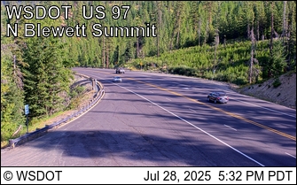
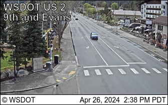
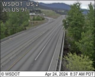
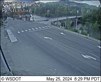
Earl Peak附近的网络摄像头
Earl Peak周边的历史
Earl Peak附近的城镇
- Leavenworth25 公里外
- Cle Elum25 公里外
- Roslyn27 公里外
- 韦纳奇40 公里外
- East Wenatchee42 公里外
- 埃伦斯堡51 公里外