德国的山
Entschenkopf
2,043 米6,703 英尺
山 · 阿爾高山 · 德国
Entschenkopf is a mountain in the Allgäu Alps of Bavaria, Germany. Its mountain ridge, which stretches southwards, forms the eastern boundary of the Gaisalp valley. The Entschenkopf can be reached both from the north and from the south.
来自Wikipedia,CC BY-SA · 阅读文章
山顶 · 17:00 的预报
1 °C雾 · 北风 5 km/h
 3D 查看
Entschenkopf山顶天气,2,043 米
- 17:001 °C北 5 km/h–
- 20:001 °C北 5 km/h–
- 23:001 °C东北 6 km/h–
- 2:000 °C东 4 km/h–
- 5:00-2 °C南 6 km/h–
- 8:00-2 °C东南 6 km/h–
- 11:004 °C北 6 km/h–
- 14:005 °C北 10 km/h–
| 日期 | 天气 | 最高 / 最低 | 雨 | 最大风速 |
|---|---|---|---|---|
| 10月29日周四 | 晴 | 5 °C / -3 °C | – | 10 km/h |
| 10月30日周五 | 晴 | 6 °C / -6 °C | – | 10 km/h |
| 10月31日周六 | 晴 | 6 °C / -5 °C | – | 6 km/h |
| 11月1日周日 | 晴 | 5 °C / -5 °C | – | 6 km/h |
| 11月2日周一 | 晴 | 1 °C / -4 °C | – | 6 km/h |
| 11月3日周二 | 多云 | 0 °C / -7 °C | 2.3 mm | 6 km/h |
| 11月4日周三 | 阴 | -2 °C / -7 °C | 1 mm | 6 km/h |
预报来自 MET Norway(CC BY 4.0),更新于 GMT+1 20:17。时间均为当地时间。
基本信息
Entschenkopf附近的山峰
母峰
用于测量其相对高度的最近一座更高山峰。
- 內伯爾山 (阿爾高阿爾卑斯山脈)2,224 米地图上
Entschenkopf之下的山峰
- Schnippenkopf1,833 米地图上
阿爾高山最高峰
德国最高的山
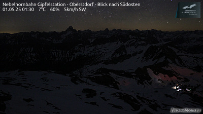
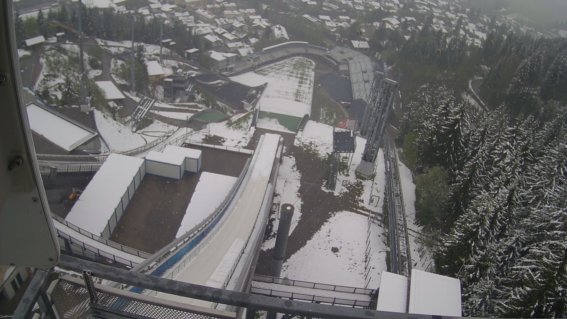
Entschenkopf附近的网络摄像头


Entschenkopf附近的城镇
- Sonthofen9.8 公里外
- Füssen32 公里外
- Kempten (Allgäu)32 公里外
- Marktoberdorf44 公里外
- Dornbirn44 公里外
- Bregenz45 公里外