Fremont Peak
3,173 英尺967 米
山 · 加比蘭山脈 · 美国
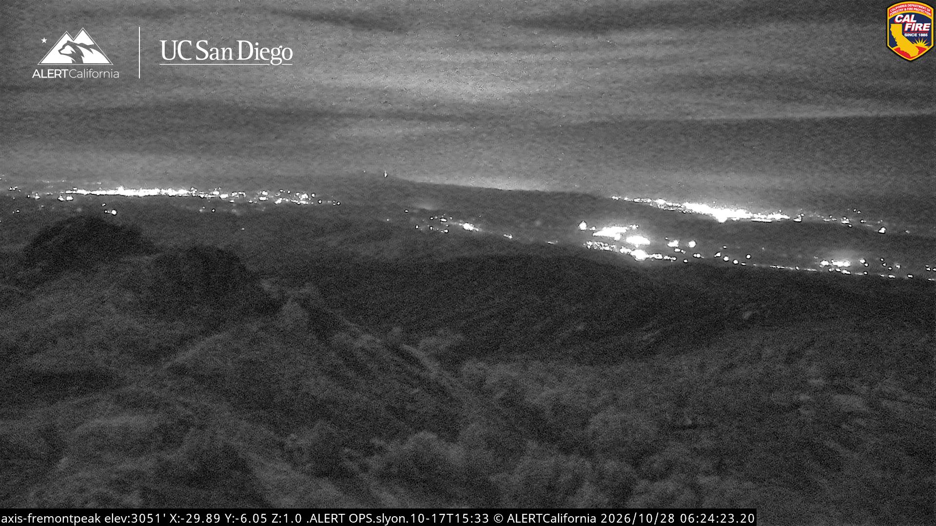
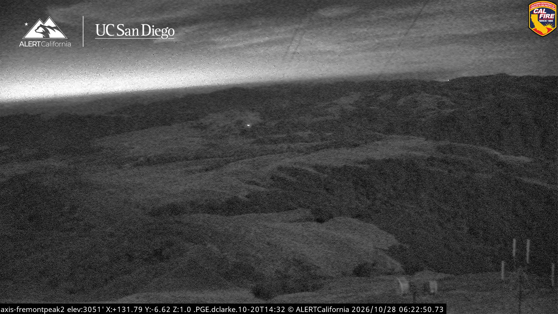
Fremont Peak or Frémont Peak, historically known as Gabilán Peak, is a summit in the Gabilan Range, one of the mountain ranges paralleling California's central coast. The peak affords clear views of the Salinas Valley, Monterey Bay, the southern part of the Santa Clara Valley, and surrounding mountain ranges.
来自Wikipedia,CC BY-SA · 阅读文章
加比蘭山脈的最高点
山顶 · 16:00 的预报
61 °F多云 · 北风 6 英里/小时
 3D 查看
Fremont Peak山顶天气,3,173 英尺
- 16:0061 °F北 6 英里/小时–
- 19:0049 °F西南 3 英里/小时–
- 22:0047 °F东 2 英里/小时–
- 1:0044 °F东 3 英里/小时–
- 4:0043 °F东南 4 英里/小时–
- 7:0044 °F东南 3 英里/小时–
- 10:0055 °F东北 3 英里/小时–
- 13:0062 °F西 6 英里/小时–
| 日期 | 天气 | 最高 / 最低 | 雨 | 最大风速 |
|---|---|---|---|---|
| 10月29日周四 | 少云 | 62 °F / 43 °F | – | 11 英里/小时 |
| 10月30日周五 | 少云 | 58 °F / 44 °F | – | 9 英里/小时 |
| 10月31日周六 | 中雨 | 54 °F / 44 °F | 0.12 英寸 | 3 英里/小时 |
| 11月1日周日 | 晴 | 53 °F / 41 °F | – | 7 英里/小时 |
| 11月2日周一 | 晴 | 59 °F / 36 °F | – | 4 英里/小时 |
| 11月3日周二 | 阴 | 65 °F / 39 °F | – | 4 英里/小时 |
| 11月4日周三 | 阴 | 62 °F / 42 °F | – | 3 英里/小时 |
预报来自 MET Norway(CC BY 4.0),更新于 GMT-7 12:20。时间均为当地时间。
基本信息
Fremont Peak (California)
Mountain in the American state of California
Fremont Peak or Frémont Peak, historically known as Gabilán Peak, is a summit in the Gabilan Range, one of the mountain ranges paralleling California's central coast. The peak affords clear views of the Salinas Valley, Monterey Bay, the southern part of the Santa Clara Valley, and surrounding mountain ranges. It is located on Rocky Ridge, 11 miles (18 km) northeast of Salinas, California.
来自Wikipedia,CC BY-SA · 阅读文章
Fremont Peak附近的山峰
- Laveaga Peak3,804 英尺 · 33 公里外地图上
- Mount Madonna1,900 英尺 · 34 公里外地图上
- Lions Peak1,117 英尺 · 35 公里外地图上
- El Toro1,427 英尺 · 43 公里外地图上
- Crystal Peak3,592 英尺 · 49 公里外地图上
- 洛馬普里塔3,789 英尺 · 50 公里外地图上
- Mount Chual3,562 英尺 · 50 公里外地图上
- Mount Sizer3,219 英尺 · 51 公里外地图上
- Ventana Double Cone4,856 英尺 · 55 公里外地图上
- Rooster Comb1,836 英尺 · 56 公里外地图上