Goffle Hill
602 英尺184 米
山 · 美国
Goffle Hill, also referred to as Goffle Mountain and historically known as Totoway Mountain and Wagaraw Mountain, is a range of the trap rock Watchung Mountains on the western edge of the Newark Basin in northern New Jersey.
来自Wikipedia,CC BY-SA · 阅读文章
山顶 · 23:00 的预报
58 °F晴 · 西北风 9 英里/小时
 3D 查看
Goffle Hill山顶天气,602 英尺
- 23:0058 °F西北 9 英里/小时–
- 2:0054 °F北 7 英里/小时–
- 5:0050 °F东北 8 英里/小时–
- 8:0046 °F北 8 英里/小时–
- 11:0052 °F北 7 英里/小时–
- 14:0056 °F东北 5 英里/小时–
- 17:0055 °F东北 3 英里/小时–
- 20:0049 °F东北 3 英里/小时–
| 日期 | 天气 | 最高 / 最低 | 雨 | 最大风速 |
|---|---|---|---|---|
| 10月27日周二 | 晴 | 57 °F / 46 °F | – | 11 英里/小时 |
| 10月28日周三 | 多云 | 59 °F / 41 °F | – | 6 英里/小时 |
| 10月29日周四 | 少云 | 66 °F / 45 °F | – | 9 英里/小时 |
| 10月30日周五 | 晴 | 71 °F / 53 °F | – | 9 英里/小时 |
| 10月31日周六 | 多云 | 62 °F / 46 °F | – | 10 英里/小时 |
| 11月1日周日 | 阴 | 64 °F / 47 °F | – | 6 英里/小时 |
| 11月2日周一 | 阴 | 58 °F / 56 °F | 0.21 英寸 | 8 英里/小时 |
预报来自 MET Norway(CC BY 4.0),更新于 GMT-4 21:17。时间均为当地时间。
基本信息
Goffle Hill
Mountain range in New Jersey, USA
Goffle Hill, also referred to as Goffle Mountain and historically known as Totoway Mountain and Wagaraw Mountain, is a range of the trap rock Watchung Mountains on the western edge of the Newark Basin in northern New Jersey. The hill straddles part of the border of Bergen County and Passaic County, underlying a mostly suburban setting.
来自Wikipedia,CC BY-SA · 阅读文章
Goffle Hill附近的山峰
- Campgaw Mountain752 英尺 · 9.1 公里外地图上
- Rocky Mountain1,056 英尺 · 13 公里外地图上
- High Mountain1,106 英尺 · 14 公里外地图上
- Drag Hill1,060 英尺 · 14 公里外地图上
- Houvenkopf Mountain931 英尺 · 14 公里外地图上
- Bellot Mountain745 英尺 · 15 公里外地图上
- Bald Mountain1,152 英尺 · 16 公里外地图上
- Mount Defiance1,040 英尺 · 17 公里外地图上
- Bearfort Mountain1,479 英尺 · 26 公里外地图上
- Watnong Mountain965 英尺 · 31 公里外地图上
美国最高的山
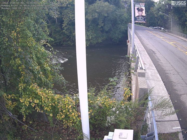
Goffle Hill附近的网络摄像头



Goffle Hill周边的历史
- 2026 FIFA World Cup final: Spain beat defending champions Argentina 1–0 during extra time to win a second FIFA World Cup title after 16 years2026
- 1937 Fox vault fire1937
- The 2025 FIFA Club World Cup is held in the United States, and is won by Chelsea2025
- 2019 Monsey Hanukkah stabbing2019
- 2017 Teterboro Learjet crash2017
- 1995 Montclair post office shooting1995