美国的山
Greenhorn Mountain
12,352 英尺3,765 米
山 · 美国
Greenhorn Mountain is the highest summit of the Wet Mountains range in the Rocky Mountains of North America.
来自Wikipedia,CC BY-SA · 阅读文章
山顶 · 15:00 的预报
42 °F多云 · 西风 9 英里/小时
 3D 查看
Greenhorn Mountain山顶天气,12,352 英尺
- 15:0042 °F西 9 英里/小时–
- 18:0033 °F西 8 英里/小时–
- 21:0030 °F西 6 英里/小时–
- 0:0029 °F西北 7 英里/小时–
- 3:0028 °F西 6 英里/小时–
- 6:0028 °F西 7 英里/小时–
- 9:0037 °F南 6 英里/小时–
- 12:0044 °F南 6 英里/小时–
| 日期 | 天气 | 最高 / 最低 | 雨 | 最大风速 |
|---|---|---|---|---|
| 10月29日周四 | 多云 | 46 °F / 28 °F | – | 8 英里/小时 |
| 10月30日周五 | 少云 | 44 °F / 25 °F | 0.01 英寸 | 9 英里/小时 |
| 10月31日周六 | 晴 | 42 °F / 26 °F | 0.01 英寸 | 3 英里/小时 |
| 11月1日周日 | 多云 | 38 °F / 28 °F | 0.09 英寸 | 5 英里/小时 |
| 11月2日周一 | 大雪 | 36 °F / 20 °F | 1.2 英寸 | 6 英里/小时 |
| 11月3日周二 | 少云 | 28 °F / 14 °F | 0.06 英寸 | 6 英里/小时 |
| 11月4日周三 | 晴 | 29 °F / 11 °F | – | 3 英里/小时 |
预报来自 MET Norway(CC BY 4.0),更新于 GMT-6 07:17。时间均为当地时间。
基本信息
Greenhorn Mountain
Mountain in Colorado, United States
Greenhorn Mountain is the highest summit of the Wet Mountains range in the Rocky Mountains of North America. The prominent 12,352-foot (3,765 m) peak is located in the Greenhorn Mountain Wilderness of San Isabel National Forest, 5.2 miles (8.4 km) southwest by west of the Town of Rye, Colorado, United States, on the boundary between Huerfano and Pueblo counties.
来自Wikipedia,CC BY-SA · 阅读文章
Greenhorn Mountain附近的山峰
- 韋爾法諾火山6,174 英尺 · 22 公里外地图上
- Silver Mountain10,525 英尺 · 31 公里外地图上
- Iron Mountain11,416 英尺 · 34 公里外地图上
- Mount Mestas11,573 英尺 · 35 公里外地图上
- Mount Herard13,345 英尺 · 42 公里外地图上
- Crestone Needle14,203 英尺 · 50 公里外地图上
- Mount Lindsey14,048 英尺 · 50 公里外地图上
- Crestone Peak14,295 英尺 · 51 公里外地图上
- California Peak13,855 英尺 · 52 公里外地图上
- Columbia Point13,986 英尺 · 52 公里外地图上
美国最高的山
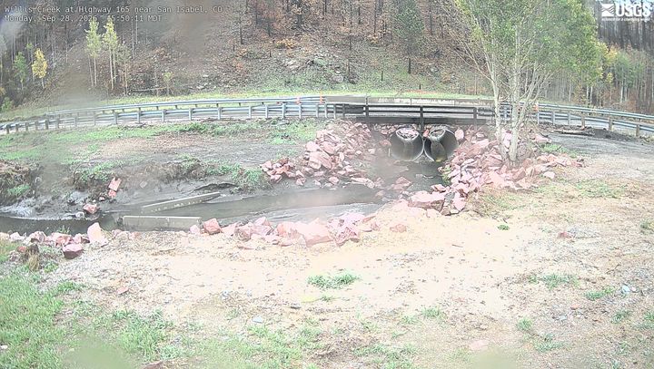
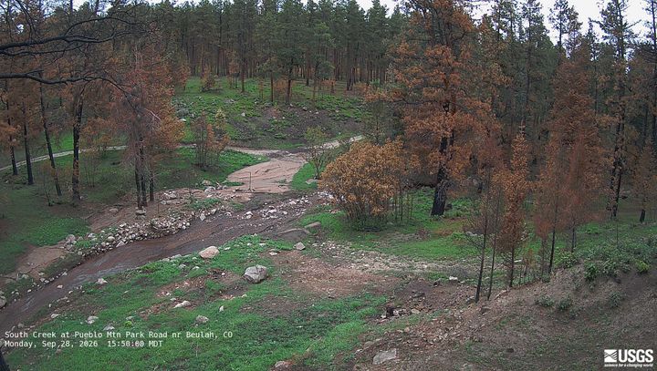
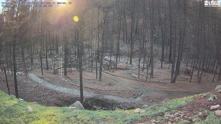
Greenhorn Mountain附近的网络摄像头
Greenhorn Mountain周边的历史
- Aspen Acres Fire2026