Heidelstein
926 米3,037 英尺
山 · 倫山 · 德国
The Heidelstein, between Bischofsheim an der Rhön in the Bavarian county of Rhön-Grabfeld and Wüstensachsen in the Hessian county of Fulda, is a mountain, 925.7 m above sea level (NHN) high, on the state border in the mountains of the High Rhön, part of the German Central Upland range of Rhön.
来自Wikipedia,CC BY-SA · 阅读文章
Long Rhön的最高点
山顶 · 6:00 的预报
6 °C阴 · 南风 15 km/h
 3D 查看
Heidelstein山顶天气,926 米
- 6:006 °C南 15 km/h–
- 9:007 °C南 16 km/h–
- 12:009 °C南 16 km/h–
- 15:0010 °C南 11 km/h–
- 18:007 °C南 15 km/h–
- 21:007 °C南 14 km/h–
- 0:006 °C西南 11 km/h–
- 3:008 °C西 10 km/h1.9 mm
| 日期 | 天气 | 最高 / 最低 | 雨 | 最大风速 |
|---|---|---|---|---|
| 今天 | 阴 | 10 °C / 5 °C | – | 17 km/h |
| 10月28日周三 | 阴 | 8 °C / 2 °C | 2.2 mm | 15 km/h |
| 10月29日周四 | 晴 | 8 °C / 2 °C | – | 8 km/h |
| 10月30日周五 | 晴 | 8 °C / 2 °C | – | 8 km/h |
| 10月31日周六 | 晴 | 7 °C / 1 °C | – | 8 km/h |
| 11月1日周日 | 少云 | 9 °C / 1 °C | – | 8 km/h |
| 11月2日周一 | 阴 | 5 °C / 2 °C | 0.2 mm | 16 km/h |
预报来自 MET Norway(CC BY 4.0),更新于 GMT+1 02:17。时间均为当地时间。
基本信息
Heidelstein
Mountain in Bavaria, Germany
The Heidelstein, between Bischofsheim an der Rhön in the Bavarian county of Rhön-Grabfeld and Wüstensachsen in the Hessian county of Fulda, is a mountain, 925.7 m above sea level (NHN) high, on the state border in the mountains of the High Rhön, part of the German Central Upland range of Rhön. Its actual summit is in Bavaria. Sometimes its main peak is also called Schwabenhimmel.
来自Wikipedia,CC BY-SA · 阅读文章
Heidelstein附近的山峰
- Steinkopf888 米 · 2.1 公里外地图上
- Feldberg815 米 · 4.2 公里外地图上
- Himmeldunkberg888 米 · 5.4 公里外地图上
- Gangolfsberg736 米 · 5.6 公里外地图上
- Wasserkuppe950 米 · 6.6 公里外地图上
- Rother Kuppe711 米 · 7.1 公里外地图上
- Mittelberg880 米 · 8.7 公里外地图上
- Kreuzberg928 米 · 10 公里外地图上
- Feldberg570 米 · 12 公里外地图上
- Maulkuppe706 米 · 12 公里外地图上
倫山最高峰
- Heidelstein926 米地图上
- Stirnberg902 米地图上
- Großer Auersberg809 米地图上
- Kleiner Auersberg808 米地图上
- Dalherda Kuppe801 米地图上
- Farnsberg786 米地图上
- Kleiner Guckas751 米地图上
- Buchschirm745 米地图上
德国最高的山
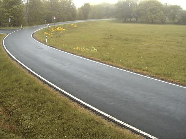
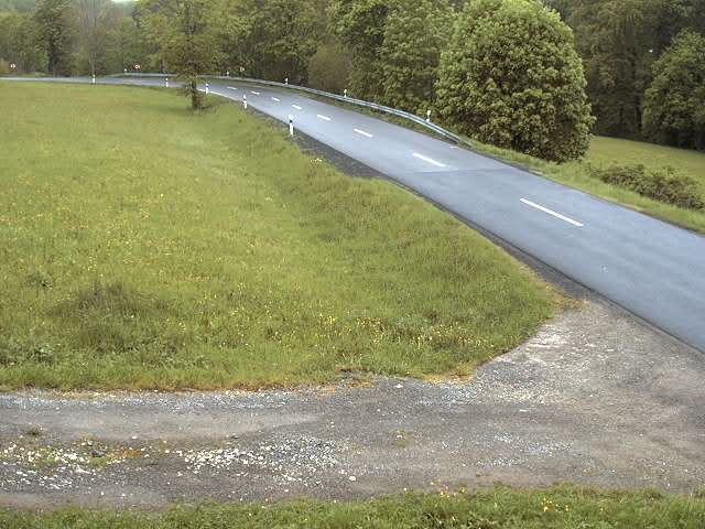
Heidelstein附近的网络摄像头

Heidelstein周边的历史
Heidelstein附近的城镇
- Bad Neustadt an der Saale21 公里外
- Künzell22 公里外
- Petersberg24 公里外
- Fulda26 公里外
- Bad Kissingen29 公里外
- Hünfeld30 公里外