挪威的山
Hornelen
860 米2,822 英尺
山 · 斯堪的纳维亚山脉 · 挪威
Hornelen is a mountain in Bremanger Municipality in Vestland county, Norway. The mountain sits on the eastern end of the island of Bremangerlandet, along the Frøysjøen strait, in the Nordfjord region.
来自Wikipedia,CC BY-SA · 阅读文章
山顶 · 0:00 的预报
6 °C阴 · 西南风 48 km/h
 3D 查看
Hornelen山顶天气,860 米
- 0:006 °C西南 48 km/h0.1 mm
- 3:006 °C西南 43 km/h0.7 mm
- 6:006 °C西南 46 km/h0.3 mm
- 9:006 °C西南 44 km/h–
- 12:006 °C西南 41 km/h1 mm
- 15:006 °C西南 35 km/h4.1 mm
- 18:006 °C西南 37 km/h0.8 mm
- 21:006 °C西南 33 km/h0.4 mm
| 日期 | 天气 | 最高 / 最低 | 雨 | 最大风速 |
|---|---|---|---|---|
| 10月28日周三 | 小雨 | 6 °C / 5 °C | 7.4 mm | 48 km/h |
| 10月29日周四 | 中雨 | 7 °C / 6 °C | 7.4 mm | 43 km/h |
| 10月30日周五 | 阴 | 7 °C / 6 °C | – | 22 km/h |
| 10月31日周六 | 阴 | 7 °C / 6 °C | 4.2 mm | 23 km/h |
| 11月1日周日 | 阴 | 6 °C / 3 °C | 7.8 mm | 10 km/h |
| 11月2日周一 | 大雨 | 5 °C / 3 °C | 15.1 mm | 17 km/h |
| 11月3日周二 | 中雨 | 6 °C / 4 °C | 3.7 mm | 10 km/h |
预报来自 MET Norway(CC BY 4.0),更新于 GMT+1 19:29。时间均为当地时间。
基本信息
Hornelen
Mountain in Bremanger, Norway
Hornelen is a mountain in Bremanger Municipality in Vestland county, Norway. The mountain sits on the eastern end of the island of Bremangerlandet, along the Frøysjøen strait, in the Nordfjord region. At 860 metres (2,820 ft), it is the highest sea cliff in Europe, and has for a long time been used as a landmark for naval navigation.
来自Wikipedia,CC BY-SA · 阅读文章
Hornelen附近的山峰
- Gjegnet1,670 米 · 30 公里外地图上
- Kletten284 米 · 45 公里外地图上
- Eidskyrkja1,483 米 · 57 公里外地图上
- Sundstua550 米 · 4.9 公里外地图上
- Veten607 米 · 14 公里外地图上
- Keipen1,362 米 · 15 公里外地图上
- Maritinden山 · 16 公里外地图上
- Middagsfjellet山 · 17 公里外地图上
- Haukåbøra1,065 米 · 19 公里外地图上
- Fanneskarvarden378 米 · 22 公里外地图上
斯堪的纳维亚山脉最高峰
挪威最高的山
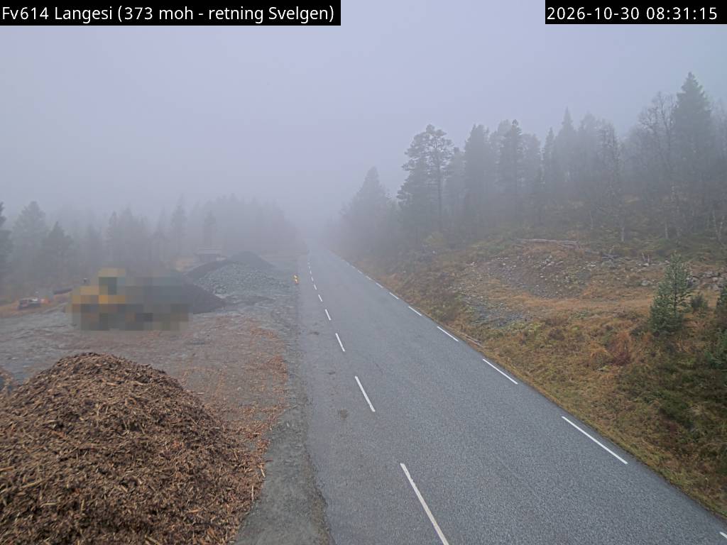
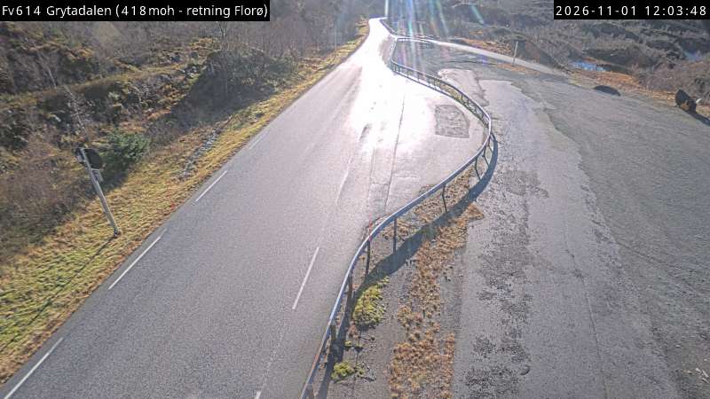
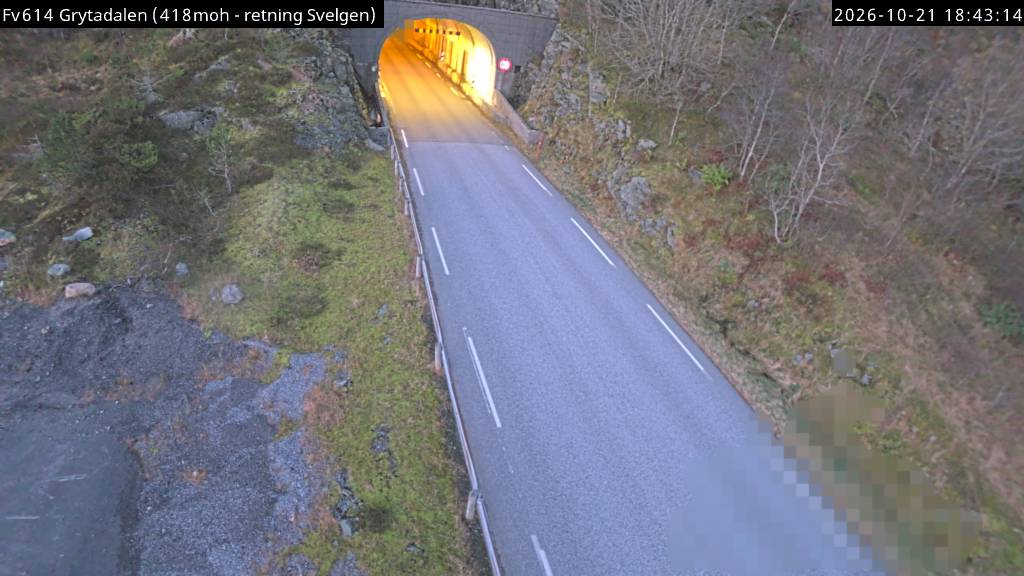
Hornelen附近的网络摄像头
Hornelen周边的历史
- Operation Archery1941
- Battle of Silda1810