Juratinden
1,712 米5,616 英尺
山 · Romsdalsalpene · 挪威
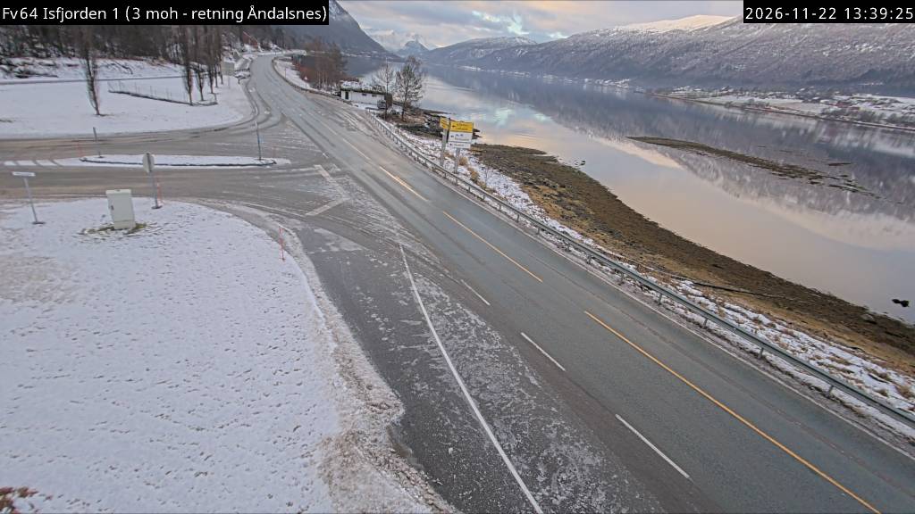
Gjuratinden is a mountain on the border of Molde Municipality and Rauma Municipality in Møre og Romsdal county, Norway. It is located about 15 kilometres (9.3 mi) east of the village of Isfjorden and about 20 kilometres (12 mi) east of the town of Åndalsnes.
来自Wikipedia,CC BY-SA · 阅读文章
山顶 · 5:00 的预报
-1 °C中雪 · 东南风 44 km/h
 3D 查看
Juratinden山顶天气,1,712 米
- 5:00-1 °C东南 44 km/h1.7 mm
- 8:000 °C东南 55 km/h–
- 11:001 °C东南 64 km/h–
- 14:002 °C东南 53 km/h0.1 mm
- 17:001 °C南 59 km/h–
- 20:00-2 °C南 72 km/h–
- 23:00-2 °C南 46 km/h–
- 2:00-3 °C南 40 km/h–
| 日期 | 天气 | 最高 / 最低 | 雨 | 最大风速 |
|---|---|---|---|---|
| 今天 | 少云 | 2 °C / -2 °C | 1.8 mm | 72 km/h |
| 10月28日周三 | 多云 | -2 °C / -4 °C | 0.9 mm | 51 km/h |
| 10月29日周四 | 雨夹雪 | 1 °C / -4 °C | 9.4 mm | 45 km/h |
| 10月30日周五 | 阴 | 2 °C / 1 °C | 2.5 mm | 29 km/h |
| 10月31日周六 | 阴 | 2 °C / 1 °C | 3.8 mm | 20 km/h |
| 11月1日周日 | 中雪 | 0 °C / -2 °C | 8.7 mm | 23 km/h |
| 11月2日周一 | 阴 | -1 °C / -1 °C | 15.8 mm | 35 km/h |
预报来自 MET Norway(CC BY 4.0),更新于 GMT+1 03:30。时间均为当地时间。
基本信息
Gjuratinden
Mountain in Møre og Romsdal, Norway
Gjuratinden is a mountain on the border of Molde Municipality and Rauma Municipality in Møre og Romsdal county, Norway. It is located about 15 kilometres (9.3 mi) east of the village of Isfjorden and about 20 kilometres (12 mi) east of the town of Åndalsnes. The lake Eikesdalsvatnet lies about 5 kilometres (3.1 mi) to the east of the mountain.
来自Wikipedia,CC BY-SA · 阅读文章
Juratinden附近的山峰
- Kyrkjetaket1,439 米 · 8.9 公里外地图上
- Fløtatinden1,711 米 · 9.7 公里外地图上
- Store Venjetinden1,852 米 · 13 公里外地图上
- Skjorta1,712 米 · 14 公里外地图上
- Romsdalshornet1,550 米 · 16 公里外地图上
- Trollryggen1,725 米 · 19 公里外地图上
- Store Trolltind1,788 米 · 19 公里外地图上
- Dønttinden1,676 米 · 20 公里外地图上
- Kleneggen1,964 米 · 21 公里外地图上
- Bispen1,462 米 · 23 公里外地图上
Romsdalsalpene最高峰
- Store Venjetinden1,852 米地图上
- Store Trolltind1,788 米地图上
- Juratinden1,712 米地图上
- Dønttinden1,676 米地图上
- Romsdalshornet1,550 米地图上