Leberg
99 米325 英尺
丘陵 · Flemish Ardennes · 比利时
The Leberg is a hill and uphill street in Elst, part of the municipality of Brakel, in the Belgian province of East Flanders. Its top is at 99 m altitude, making it one of the highest hills of the Zwalm region, just north of the Flemish Ardennes.
来自Wikipedia,CC BY-SA · 阅读文章
山顶 · 12:00 的预报
16 °C阴 · 南风 25 km/h
 3D 查看
Leberg山顶天气,99 米
- 12:0016 °C南 25 km/h0.2 mm
- 15:0017 °C西南 21 km/h1.8 mm
- 18:0013 °C西 17 km/h–
- 21:0010 °C西 15 km/h–
- 0:009 °C西南 11 km/h–
- 3:008 °C西南 11 km/h–
- 6:007 °C西南 10 km/h–
- 9:008 °C西南 11 km/h–
| 日期 | 天气 | 最高 / 最低 | 雨 | 最大风速 |
|---|---|---|---|---|
| 今天 | 阴 | 18 °C / 9 °C | 2 mm | 25 km/h |
| 10月28日周三 | 多云 | 14 °C / 7 °C | – | 15 km/h |
| 10月29日周四 | 阴 | 14 °C / 6 °C | – | 10 km/h |
| 10月30日周五 | 少云 | 13 °C / 5 °C | – | 9 km/h |
| 10月31日周六 | 少云 | 13 °C / 3 °C | – | 6 km/h |
| 11月1日周日 | 阴 | 12 °C / 4 °C | 0.2 mm | 7 km/h |
| 11月2日周一 | 多云 | 11 °C / 6 °C | – | 13 km/h |
预报来自 MET Norway(CC BY 4.0),更新于 GMT+1 00:20。时间均为当地时间。
基本信息
Leberg
The Leberg is a hill and uphill street in Elst, part of the municipality of Brakel, in the Belgian province of East Flanders. Its top is at 99 m altitude, making it one of the highest hills of the Zwalm region, just north of the Flemish Ardennes. The road has an asphalt surface and links the valley town of Elst to the hilltop town of Zegelsem.
来自Wikipedia,CC BY-SA · 阅读文章
Leberg附近的山峰
- Eikenberg82 米 · 5.6 公里外地图上
- Taaienberg90 米 · 7.1 公里外地图上
- Edelareberg80 米 · 7.4 公里外地图上
- Molenberg56 米 · 9.4 公里外地图上
- Koppenberg78 米 · 10 公里外地图上
- Paterberg80 米 · 13 公里外地图上
- Bosberg105 米 · 16 公里外地图上
- Tiegemberg82 米 · 18 公里外地图上
- Blandijnberg29 米 · 24 公里外地图上
- Marlboroughstraat丘陵 · 2.7 公里外地图上
Flemish Ardennes最高峰
- Bosberg105 米地图上
- Leberg99 米地图上
- Valkenberg98 米地图上
- Kluisberg93 米地图上
- Taaienberg90 米地图上
- Tiegemberg82 米地图上
- Eikenberg82 米地图上
- Edelareberg80 米地图上
- Paterberg80 米地图上
比利时最高的山
- Weißer Stein693 米地图上
- Steling658 米地图上
- Baraque de Fraiture652 米地图上
- Croix Scaille504 米地图上
- 瓦尔斯堡山322 米地图上
- 圣彼得山171 米地图上
- Kemmelberg154 米地图上
- Mont Noir152 米地图上
- Bosberg105 米地图上
- Leberg99 米地图上
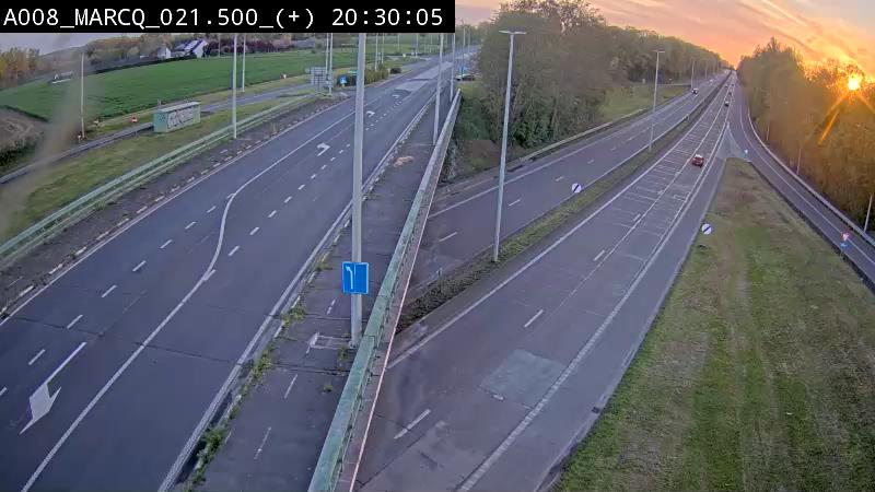
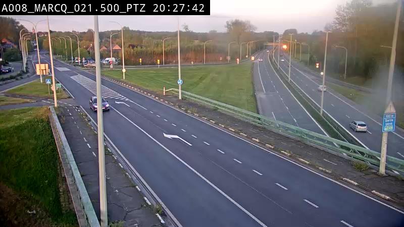
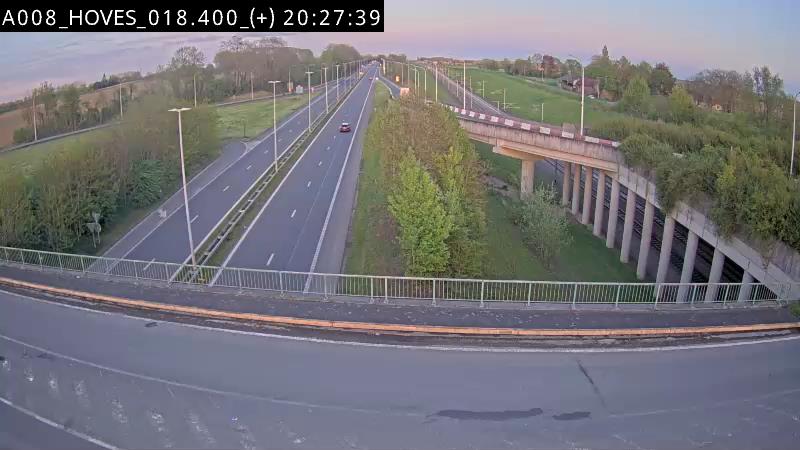
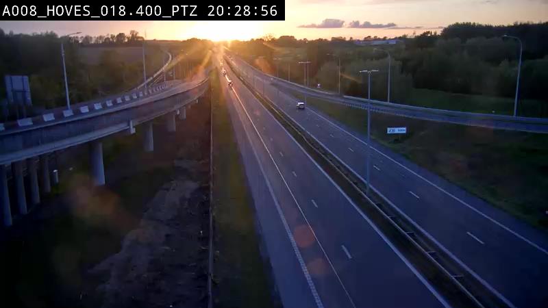
Leberg附近的网络摄像头
Leberg周边的历史
Leberg附近的城镇
- Zottegem8.1 公里外
- Oudenaarde8.4 公里外
- Bevere9.8 公里外
- Ronse12 公里外
- Geraardsbergen13 公里外
- Herzele14 公里外