Milseburg
835 米2,740 英尺
山 · 倫山 · 德国
The Milseburg is an extinct volcano and at 835 metres (2,740 ft) above sea level the second highest elevation in the Hessian part of the Rhön Mountains, Germany. The hill is located east of Fulda, near the villages of Kleinsassen and Danzwiesen. It is a popular destination for hikers and bikers.
来自Wikipedia,CC BY-SA · 阅读文章
山顶 · 3:00 的预报
8 °C中雨 · 西风 13 km/h
 3D 查看
Milseburg山顶天气,835 米
- 3:008 °C西 13 km/h0.3 mm
- 6:006 °C西北 11 km/h–
- 9:007 °C西北 12 km/h–
- 12:008 °C西北 13 km/h–
- 15:009 °C西北 13 km/h–
- 18:005 °C西 5 km/h–
- 21:003 °C西南 4 km/h–
- 0:003 °C南 5 km/h–
| 日期 | 天气 | 最高 / 最低 | 雨 | 最大风速 |
|---|---|---|---|---|
| 今天 | 多云 | 9 °C / 3 °C | 0.3 mm | 15 km/h |
| 10月29日周四 | 少云 | 9 °C / 1 °C | – | 8 km/h |
| 10月30日周五 | 多云 | 8 °C / 3 °C | – | 13 km/h |
| 10月31日周六 | 阴 | 6 °C / 2 °C | – | 10 km/h |
| 11月1日周日 | 阴 | 6 °C / 1 °C | 0.3 mm | 9 km/h |
| 11月2日周一 | 阴 | 6 °C / 3 °C | 2.9 mm | 17 km/h |
| 11月3日周二 | 阴 | 4 °C / -0 °C | 0.3 mm | 10 km/h |
预报来自 MET Norway(CC BY 4.0),更新于 GMT+1 00:18。时间均为当地时间。
基本信息
Milseburg
Mountain in Hesse, Germany
The Milseburg is an extinct volcano and at 835 metres (2,740 ft) above sea level the second highest elevation in the Hessian part of the Rhön Mountains, Germany. The hill is located east of Fulda, near the villages of Kleinsassen and Danzwiesen. It is a popular destination for hikers and bikers. Scientifically, Milseburg is most notable for the remains of a large Celtic oppidum.
来自Wikipedia,CC BY-SA · 阅读文章
Milseburg附近的山峰
- Maulkuppe706 米 · 2.4 公里外地图上
- Wasserkuppe950 米 · 5.9 公里外地图上
- Feldberg815 米 · 8.9 公里外地图上
- Ellenbogen813 米 · 13 公里外地图上
- Himmeldunkberg888 米 · 14 公里外地图上
- Mittelberg880 米 · 15 公里外地图上
- Gangolfsberg736 米 · 16 公里外地图上
- Große Haube658 米 · 20 公里外地图上
- Kreuzberg928 米 · 20 公里外地图上
- Feldberg570 米 · 23 公里外地图上
倫山最高峰
- Stirnberg902 米地图上
- Milseburg835 米地图上
- Großer Auersberg809 米地图上
- Kleiner Auersberg808 米地图上
- Dalherda Kuppe801 米地图上
- Farnsberg786 米地图上
- Kleiner Guckas751 米地图上
- Buchschirm745 米地图上
德国最高的山
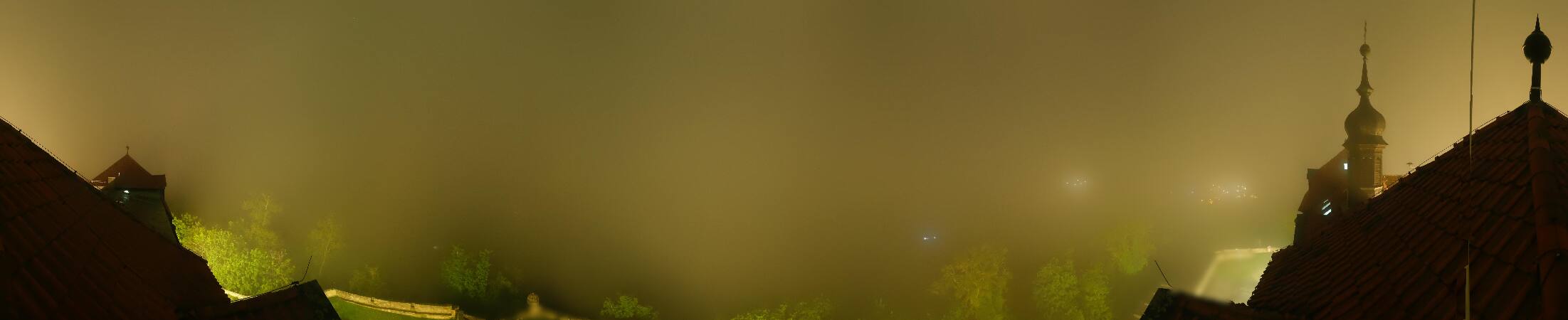
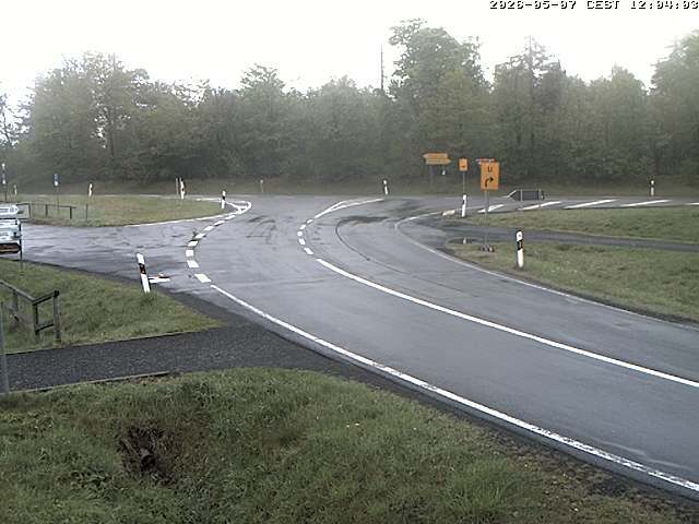
Milseburg附近的网络摄像头

Milseburg周边的历史
- Treaty of Fulda1813
- Battle of Fulda1759
Milseburg附近的城镇
- Künzell13 公里外
- Petersberg13 公里外
- Fulda16 公里外
- Hünfeld18 公里外
- Bad Neustadt an der Saale33 公里外
- Schlüchtern34 公里外