Bellenden Ker國家公園
1,593 米5,226 英尺
山 · Bellenden Ker Range · 澳大利亚
Mount Bellenden Ker is the second-highest mountain in Queensland, Australia, with a height of 1,593 metres (5,226 ft). It is named after the botanist John Bellenden Ker Gawler.
来自Wikipedia,CC BY-SA · 阅读文章
山顶 · 21:00 的预报
14 °C多云 · 北风 5 km/h
 3D 查看
Bellenden Ker國家公園山顶天气,1,593 米
- 21:0014 °C北 5 km/h–
- 0:0013 °C西北 5 km/h–
- 3:0013 °C西南 6 km/h–
- 6:0012 °C西 9 km/h0.1 mm
- 9:0018 °C东 10 km/h0.1 mm
- 12:0020 °C东 10 km/h–
- 15:0019 °C东 10 km/h–
- 18:0016 °C东 12 km/h0.4 mm
| 日期 | 天气 | 最高 / 最低 | 雨 | 最大风速 |
|---|---|---|---|---|
| 10月29日周四 | 阴 | 20 °C / 12 °C | 1 mm | 13 km/h |
| 10月30日周五 | 多云 | 19 °C / 13 °C | 1.2 mm | 17 km/h |
| 10月31日周六 | 中雨 | 19 °C / 12 °C | 3.3 mm | 10 km/h |
| 11月1日周日 | 中雨 | 19 °C / 13 °C | 1.8 mm | 6 km/h |
| 11月2日周一 | 中雨 | 20 °C / 13 °C | 2.2 mm | 6 km/h |
| 11月3日周二 | 中雨 | 20 °C / 14 °C | 2.5 mm | 8 km/h |
| 11月4日周三 | 中雨 | 19 °C / 13 °C | 3.2 mm | 7 km/h |
预报来自 MET Norway(CC BY 4.0),更新于 GMT+10 18:19。时间均为当地时间。
基本信息
Mount Bellenden Ker
Mountain in Queensland, Australia
Mount Bellenden Ker is the second-highest mountain in Queensland, Australia, with a height of 1,593 metres (5,226 ft). It is named after the botanist John Bellenden Ker Gawler. Located 39 km (24 mi) south of Cairns, and near Babinda, it is adjacent to Mount Bartle Frere, the state's highest peak, part of the Bellenden Ker Range, also known as the Wooroonooran Range.
来自Wikipedia,CC BY-SA · 阅读文章
Bellenden Ker國家公園附近的山峰
- 巴特爾弗里爾山1,611 米 · 14 公里外地图上
- Walshs Pyramid922 米 · 16 公里外地图上
- Mount Quincan山 · 30 公里外地图上
Bellenden Ker Range最高峰
澳大利亚最高的山
- 莫森峰2,745 米地图上
- 科修斯科山2,228 米地图上
- Rams Head2,190 米地图上
- Mount Bogong1,986 米地图上
- Mount Feathertop1,922 米地图上
- Bimberi Peak1,912 米地图上
- Mount Loch1,865 米地图上
- 荷斯安山1,861 米地图上
- Mount Gingera1,857 米地图上
- Mount Kelly1,829 米地图上
Bellenden Ker國家公園附近的网络摄像头
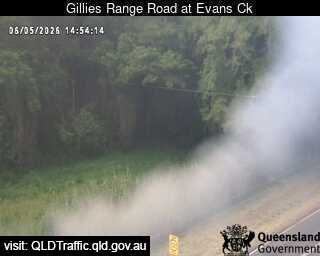
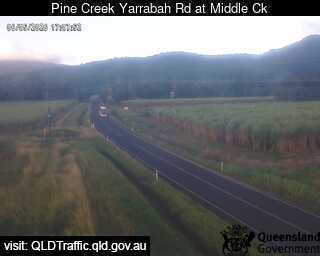
Bellenden Ker國家公園附近的城镇
- 凯恩斯39 公里外