Mount Carbine Tableland
山 · 澳大利亚
The Mount Carbine Tableland is a plateau in Far North Queensland, Australia. Part of the Great Dividing Range, it lies in the Shire of Mareeba 15 km west of Mossman, and 1,460 km north-west of Brisbane, reaching an altitude of 1,383 m above sea level.
来自Wikipedia,CC BY-SA · 阅读文章
山顶 · 7:00 的预报
18 °C多云 · 东风 12 km/h
Mount Carbine Tableland天气预报
- 7:0018 °C东 12 km/h–
- 10:0023 °C东 17 km/h–
- 13:0025 °C东 15 km/h–
- 16:0023 °C东 17 km/h–
- 19:0017 °C东 13 km/h–
- 22:0017 °C东 13 km/h–
- 1:0017 °C东 13 km/h–
- 4:0017 °C东 13 km/h–
| 日期 | 天气 | 最高 / 最低 | 雨 | 最大风速 |
|---|---|---|---|---|
| 今天 | 多云 | 25 °C / 17 °C | – | 17 km/h |
| 10月30日周五 | 少云 | 24 °C / 17 °C | – | 18 km/h |
| 10月31日周六 | 晴 | 26 °C / 17 °C | – | 19 km/h |
| 11月1日周日 | 中雨 | 24 °C / 16 °C | 3.2 mm | 11 km/h |
| 11月2日周一 | 中雨 | 25 °C / 18 °C | 2.4 mm | 8 km/h |
| 11月3日周二 | 中雨 | 25 °C / 16 °C | 1.3 mm | 9 km/h |
| 11月4日周三 | 晴 | 24 °C / 15 °C | – | 9 km/h |
预报来自 MET Norway(CC BY 4.0),更新于 GMT+10 05:20。时间均为当地时间。
基本信息
Mount Carbine Tableland
Mountain in Queensland, Australia
The Mount Carbine Tableland is a plateau in Far North Queensland, Australia. Part of the Great Dividing Range, it lies in the Shire of Mareeba 15 km west of Mossman, and 1,460 km north-west of Brisbane, reaching an altitude of 1,383 m above sea level. It is largely covered with tropical rainforest and receives an annual rainfall total of 2,000 mm.
来自Wikipedia,CC BY-SA · 阅读文章
Mount Carbine Tableland附近的山峰
- Thornton Peak1,374 米 · 35 公里外地图上
- Mount Pieter Botte1,009 米 · 46 公里外地图上
- Devil's Thumb山 · 9.2 公里外地图上
- Mount Alexandra山 · 33 公里外地图上
澳大利亚最高的山
- 莫森峰2,745 米地图上
- 科修斯科山2,228 米地图上
- Rams Head2,190 米地图上
- Mount Bogong1,986 米地图上
- Mount Feathertop1,922 米地图上
- Bimberi Peak1,912 米地图上
- Mount Loch1,865 米地图上
- 荷斯安山1,861 米地图上
- Mount Gingera1,857 米地图上
- Mount Kelly1,829 米地图上
Mount Carbine Tableland附近的网络摄像头
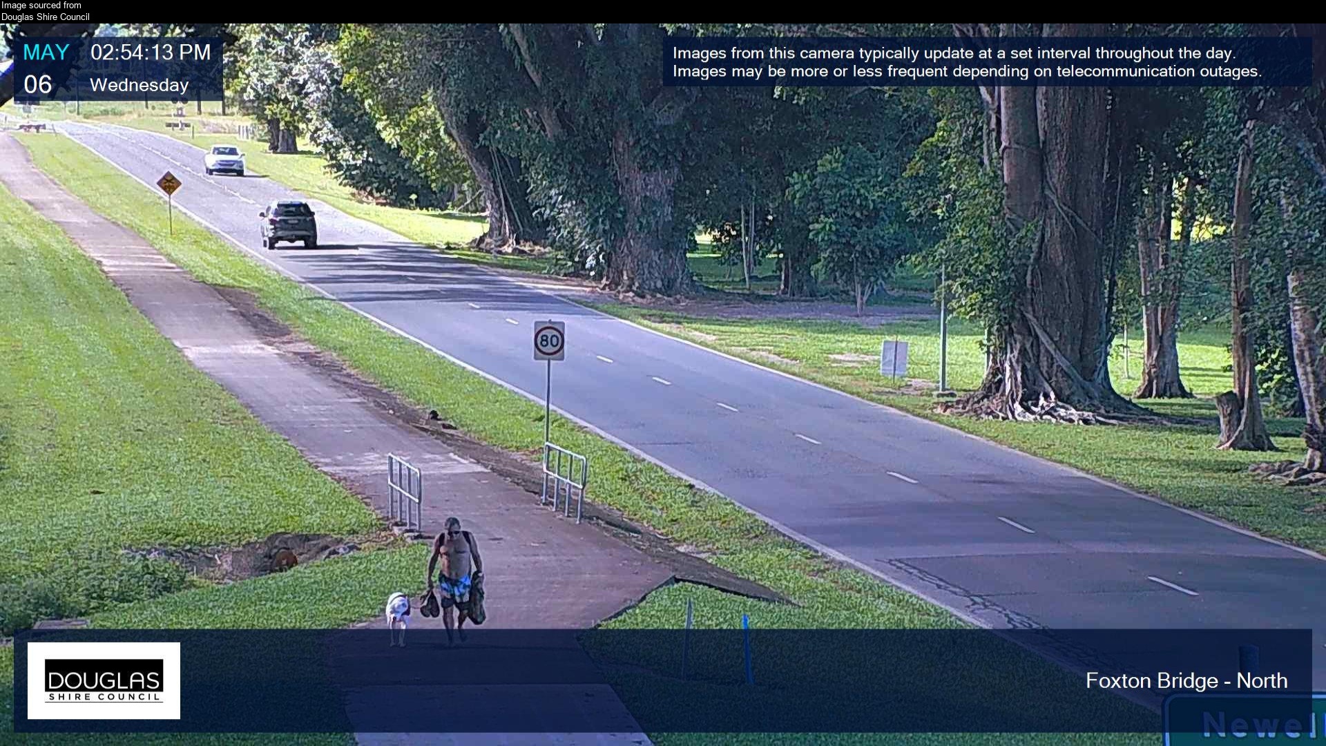
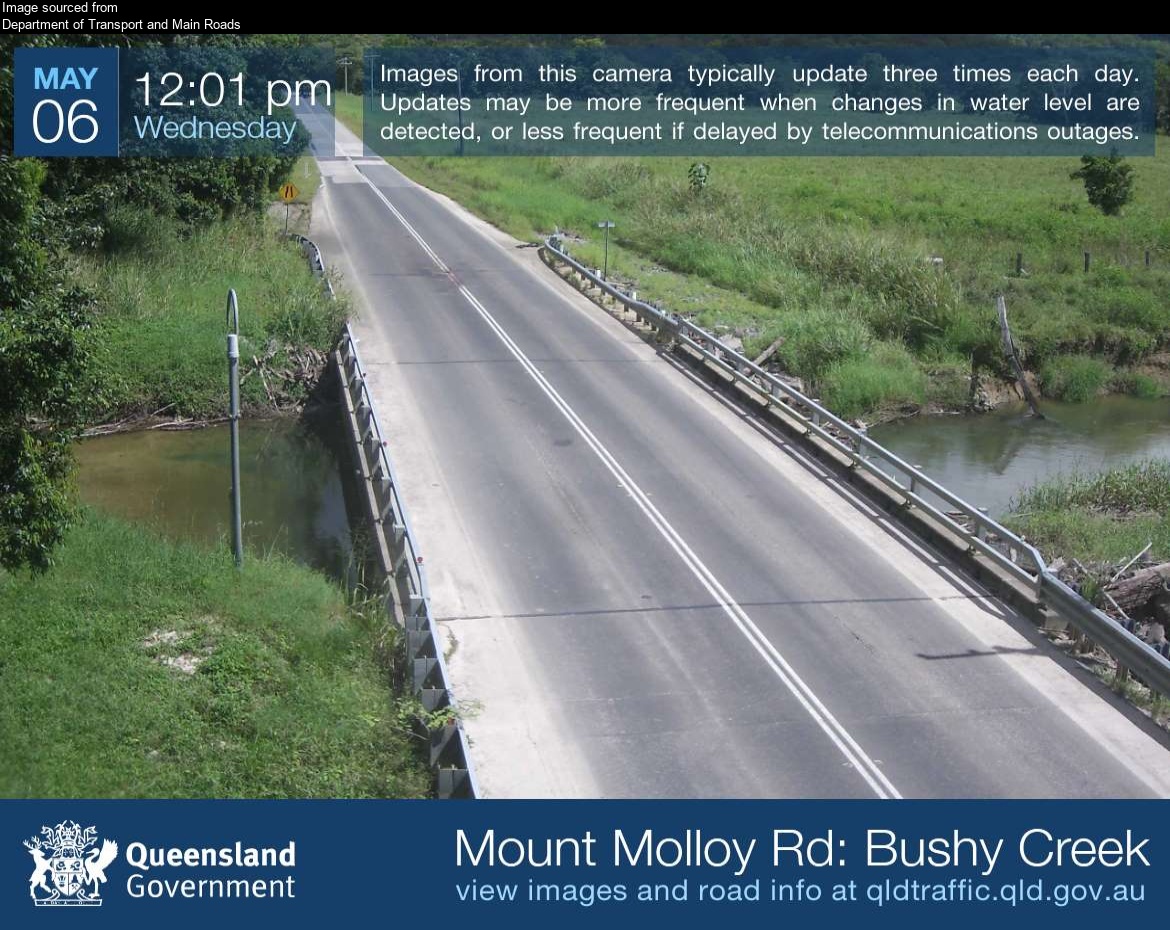
Mount Carbine Tableland附近的城镇
- 凯恩斯78 公里外