达拉山
13,061 英尺3,981 米
山 · 內華達山脈 · 美国
Mount Dana is a mountain in the U.S. state of California. Its summit marks the eastern boundary of Yosemite National Park and the western boundary of the Ansel Adams Wilderness.
来自Wikipedia,CC BY-SA · 阅读文章
山顶 · 9:00 的预报
27 °F少云 · 西风 7 英里/小时
 3D 查看
达拉山山顶天气,13,061 英尺
- 9:0027 °F西 7 英里/小时–
- 12:0035 °F西南 14 英里/小时–
- 15:0034 °F西南 15 英里/小时–
- 18:0023 °F西 7 英里/小时–
- 21:0017 °F西 5 英里/小时–
- 0:0017 °F西 5 英里/小时–
- 3:0017 °F西南 4 英里/小时–
- 6:0017 °F西南 4 英里/小时–
| 日期 | 天气 | 最高 / 最低 | 雨 | 最大风速 |
|---|---|---|---|---|
| 今天 | 少云 | 35 °F / 16 °F | – | 15 英里/小时 |
| 10月28日周三 | 多云 | 36 °F / 17 °F | – | 8 英里/小时 |
| 10月29日周四 | 阴 | 31 °F / 16 °F | 0.07 英寸 | 12 英里/小时 |
| 10月30日周五 | 多云 | 23 °F / 13 °F | 0.06 英寸 | 6 英里/小时 |
| 10月31日周六 | 阴 | 20 °F / 10 °F | 0 英寸 | 11 英里/小时 |
| 11月1日周日 | 晴 | 25 °F / 12 °F | – | 3 英里/小时 |
| 11月2日周一 | 晴 | 32 °F / 20 °F | – | 3 英里/小时 |
预报来自 MET Norway(CC BY 4.0),更新于 GMT-7 02:21。时间均为当地时间。
基本信息
Mount Dana
Mountain in California, United States
Mount Dana is a mountain in the U.S. state of California. Its summit marks the eastern boundary of Yosemite National Park and the western boundary of the Ansel Adams Wilderness. At an elevation of 13,061 feet (3,981 m), it is the second highest mountain in Yosemite, and the northernmost summit in the Sierra Nevada which is over 13,000 feet (3,962.4 m) in elevation.
来自Wikipedia,CC BY-SA · 阅读文章
达拉山附近的山峰
- 吉布斯山12,779 英尺 · 2.7 公里外地图上
- Lembert Dome9,455 英尺 · 11 公里外地图上
- 康内斯山12,649 英尺 · 12 公里外地图上
- Unicorn Peak10,828 英尺 · 15 公里外地图上
- Parsons Peak12,153 英尺 · 16 公里外地图上
- Excelsior Mountain12,438 英尺 · 16 公里外地图上
- Fairview Dome9,728 英尺 · 16 公里外地图上
- Simmons Peak12,497 英尺 · 17 公里外地图上
- Daff Dome9,158 英尺 · 17 公里外地图上
- 大教堂峰10,912 英尺 · 17 公里外地图上
母峰
达拉山之下的山峰
內華達山脈最高峰
- 惠特尼峰14,505 英尺地图上
- 威廉森山14,403 英尺地图上
- Mount Russell14,094 英尺地图上
- Mount Langley14,032 英尺地图上
- Mount Tyndall14,025 英尺地图上
- Mount Humphreys13,992 英尺地图上
- Mount Keith13,982 英尺地图上
- Mount LeConte13,936 英尺地图上
- 达拉山13,061 英尺地图上
美国最高的山
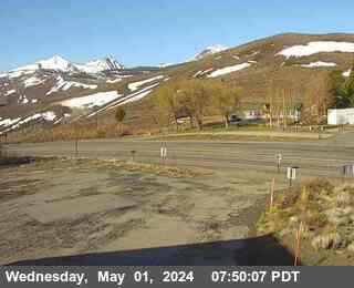
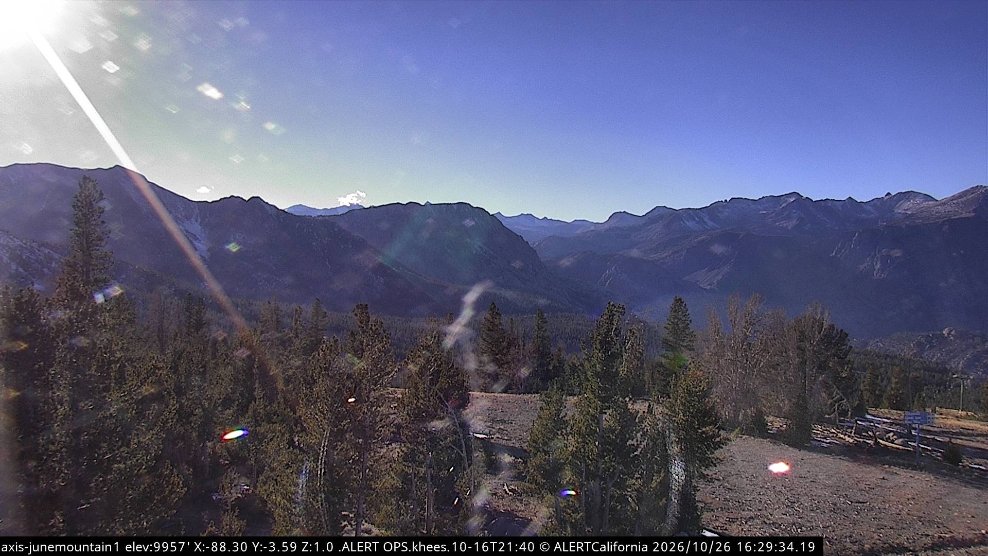
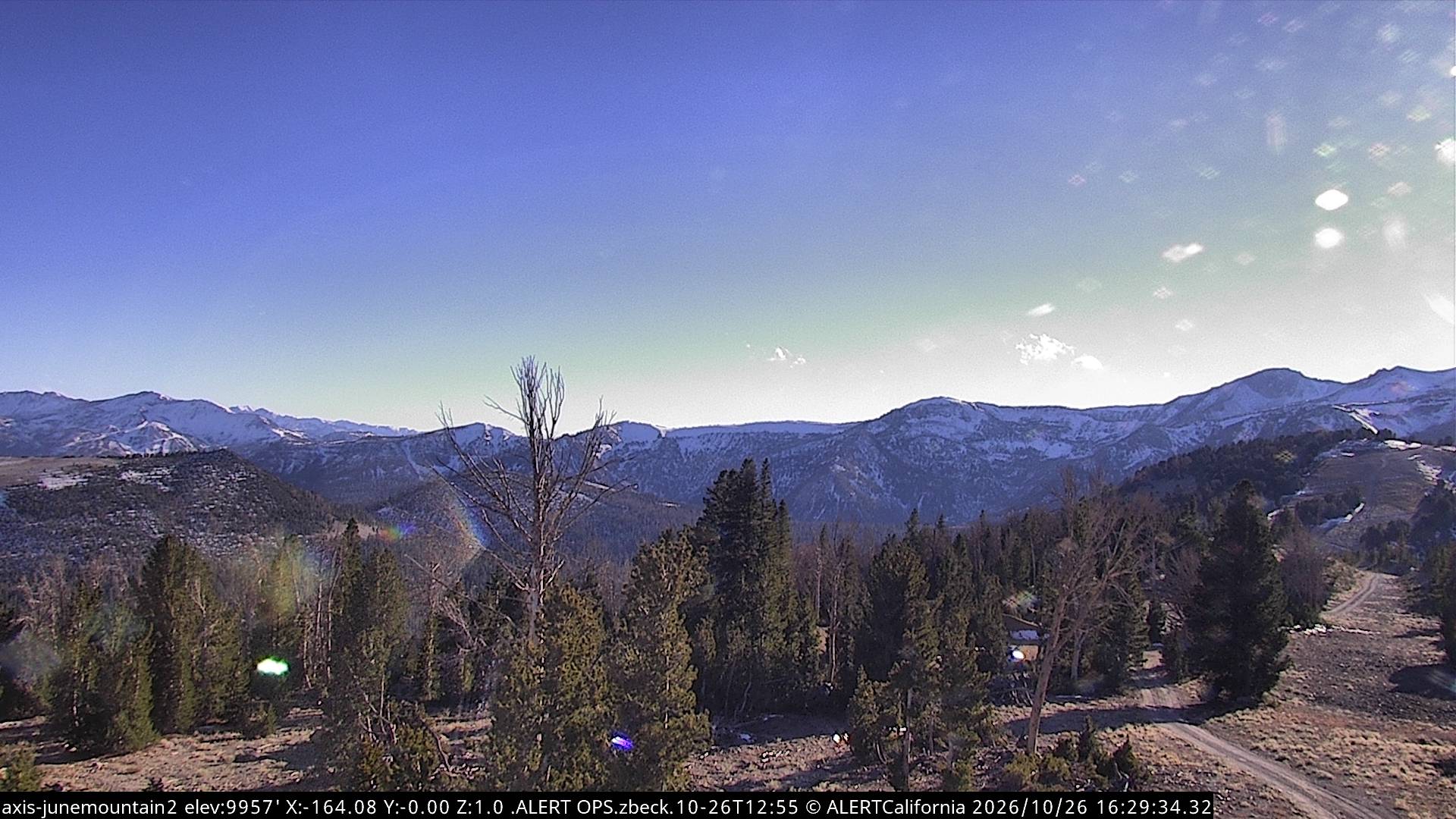
达拉山附近的网络摄像头

达拉山附近的城镇
- Mammoth Lakes37 公里外