Mount Fee
2,162 米7,093 英尺
山 · 太平洋山脉 · 加拿大
Mount Fee is a volcanic peak in the Pacific Ranges of the Coast Mountains in southwestern British Columbia, Canada. It is located 13 km (8.1 mi) south of Callaghan Lake and 21 km (13 mi) west of the resort town of Whistler.
来自Wikipedia,CC BY-SA · 阅读文章
山顶 · 20:00 的预报
-6 °C多云 · 北风 1 km/h
 3D 查看
Mount Fee山顶天气,2,162 米
- 20:00-6 °C北 1 km/h–
- 23:00-7 °C西北 1 km/h–
- 2:00-8 °C西北 2 km/h–
- 5:00-7 °C西北 2 km/h–
- 8:00-6 °C北 3 km/h2 mm
- 11:00-5 °C南 5 km/h1.5 mm
- 14:00-4 °C南 6 km/h1 mm
- 17:00-5 °C南 6 km/h1.3 mm
| 日期 | 天气 | 最高 / 最低 | 雨 | 最大风速 |
|---|---|---|---|---|
| 10月27日周二 | 中雪 | -4 °C / -8 °C | 7.4 mm | 6 km/h |
| 10月28日周三 | 小雪 | -5 °C / -9 °C | 4.7 mm | 3 km/h |
| 10月29日周四 | 阴 | -7 °C / -11 °C | 0.9 mm | 5 km/h |
| 10月30日周五 | 阴 | -7 °C / -14 °C | 0.8 mm | 3 km/h |
| 10月31日周六 | 多云 | -6 °C / -14 °C | – | 3 km/h |
| 11月1日周日 | 阴 | -5 °C / -15 °C | 1 mm | 3 km/h |
| 11月2日周一 | 多云 | -2 °C / -8 °C | – | 3 km/h |
预报来自 MET Norway(CC BY 4.0),更新于 GMT-7 16:19。时间均为当地时间。
基本信息
Mount Fee
Volcanic peak in the country of Canada
Mount Fee is a volcanic peak in the Pacific Ranges of the Coast Mountains in southwestern British Columbia, Canada. It is located 13 km (8.1 mi) south of Callaghan Lake and 21 km (13 mi) west of the resort town of Whistler. With a summit elevation of 2,162 m (7,093 ft) and a topographic prominence of 312 m (1,024 ft), it rises above the surrounding rugged landscape on an alpine mountain ridge.
来自Wikipedia,CC BY-SA · 阅读文章
Mount Fee附近的山峰
- Brandywine Mountain2,213 米 · 4 公里外地图上
- Vulcan's Thumb2,290 米 · 4.1 公里外地图上
- Pyroclastic Peak2,349 米 · 4.6 公里外地图上
- Mount Cayley2,385 米 · 5.1 公里外地图上
- Mount Cayley volcanic field2,377 米 · 5.1 公里外地图上
- Cypress Peak2,083 米 · 5.3 公里外地图上
- Mount Brew1,757 米 · 6.2 公里外地图上
- Powder Mountain2,347 米 · 7.4 公里外地图上
- Ring Mountain2,192 米 · 16 公里外地图上
- Mount Callaghan2,409 米 · 16 公里外地图上
太平洋山脉最高峰
- Monarch Mountain3,555 米地图上
- Mount Queen Bess3,298 米地图上
- Mount Good Hope3,242 米地图上
- 西尔弗索恩火山口3,160 米地图上
- Mount Raleigh3,132 米地图上
- Mount Silverthrone2,865 米地图上
- Mount Sir Francis Drake2,705 米地图上
- Plinth Peak2,677 米地图上
- Mount Fee2,162 米地图上
加拿大最高的山
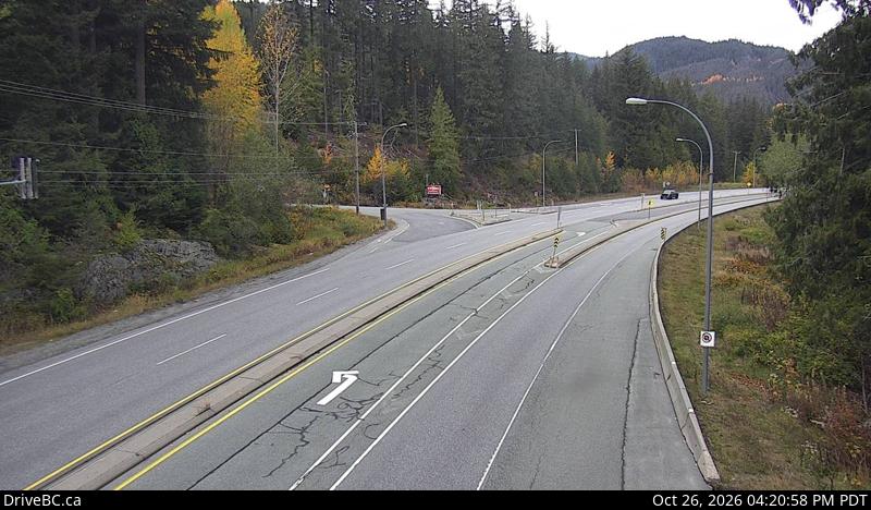
Mount Fee附近的网络摄像头
Mount Fee周边的历史
Mount Fee附近的城镇
- 斯阔米什43 公里外