美国的山
胡德山地區公園
2,733 英尺833 米
山 · Mayacamas Mountains · 美国
Mount Hood, also known as Hood Mountain, is a mountain near the southeastern edge of Santa Rosa, California, at the northeast of the Sonoma Valley and attains a height of 2,733 feet (833 m).
来自Wikipedia,CC BY-SA · 阅读文章
山顶 · 16:00 的预报
64 °F少云 · 西风 5 英里/小时
 3D 查看
胡德山地區公園山顶天气,2,733 英尺
- 16:0064 °F西 5 英里/小时–
- 19:0050 °F西 2 英里/小时–
- 22:0045 °F西 2 英里/小时–
- 1:0043 °F西北 2 英里/小时–
- 4:0043 °F北 2 英里/小时–
- 7:0041 °F北 2 英里/小时–
- 10:0052 °F东 2 英里/小时–
- 13:0061 °F东南 4 英里/小时–
| 日期 | 天气 | 最高 / 最低 | 雨 | 最大风速 |
|---|---|---|---|---|
| 10月29日周四 | 阴 | 63 °F / 41 °F | – | 6 英里/小时 |
| 10月30日周五 | 晴 | 62 °F / 43 °F | – | 7 英里/小时 |
| 10月31日周六 | 阴 | 57 °F / 40 °F | – | 6 英里/小时 |
| 11月1日周日 | 晴 | 58 °F / 34 °F | – | 7 英里/小时 |
| 11月2日周一 | 阴 | 64 °F / 40 °F | – | 3 英里/小时 |
| 11月3日周二 | 阴 | 64 °F / 43 °F | – | 3 英里/小时 |
| 11月4日周三 | 阴 | 64 °F / 45 °F | – | 6 英里/小时 |
预报来自 MET Norway(CC BY 4.0),更新于 GMT-7 06:17。时间均为当地时间。
基本信息
Mount Hood (California)
Mountain in California
Mount Hood, also known as Hood Mountain, is a mountain near the southeastern edge of Santa Rosa, California, at the northeast of the Sonoma Valley and attains a height of 2,733 feet (833 m). The original name was Mount Wilikos, an Indian name meaning "willows." Most of the drainage from Mount Hood contributes to the headwaters of Sonoma Creek.
来自Wikipedia,CC BY-SA · 阅读文章
胡德山地區公園附近的山峰
- Bennett Mountain1,909 英尺 · 8.1 公里外地图上
- 泰勒山地區公園1,406 英尺 · 13 公里外地图上
- 北索諾馬山地區公園2,463 英尺 · 15 公里外地图上
- Mount Saint Helena4,327 英尺 · 24 公里外地图上
- Iron Mountain2,287 英尺 · 27 公里外地图上
- Twin Sisters2,259 英尺 · 37 公里外地图上
- Mount Vaca2,822 英尺 · 39 公里外地图上
- Cobb Mountain4,724 英尺 · 42 公里外地图上
- Sulfur Springs Mountain1,112 英尺 · 47 公里外地图上
- 塔玛尔派伊斯山2,572 英尺 · 59 公里外地图上
Mayacamas Mountains最高峰
- Cobb Mountain4,724 英尺地图上
- Mount Saint Helena4,327 英尺地图上
- 胡德山地區公園2,733 英尺地图上
美国最高的山
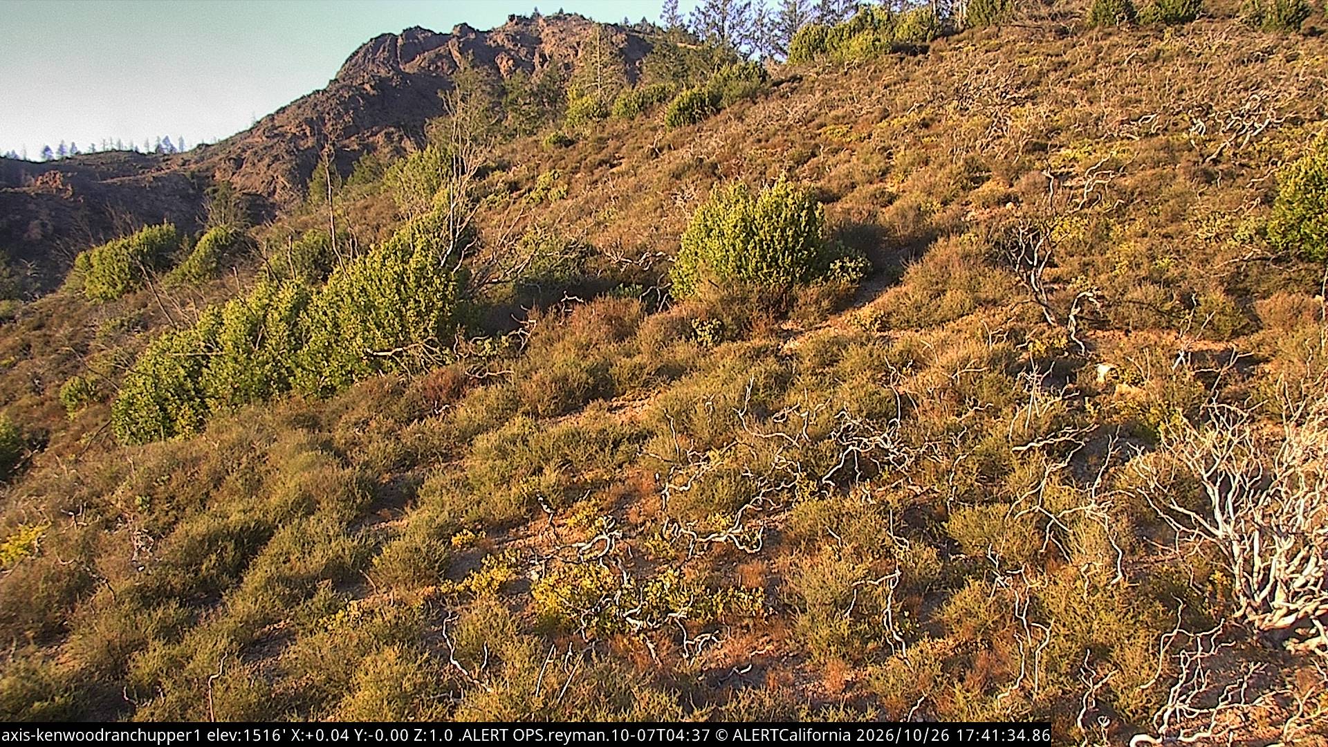
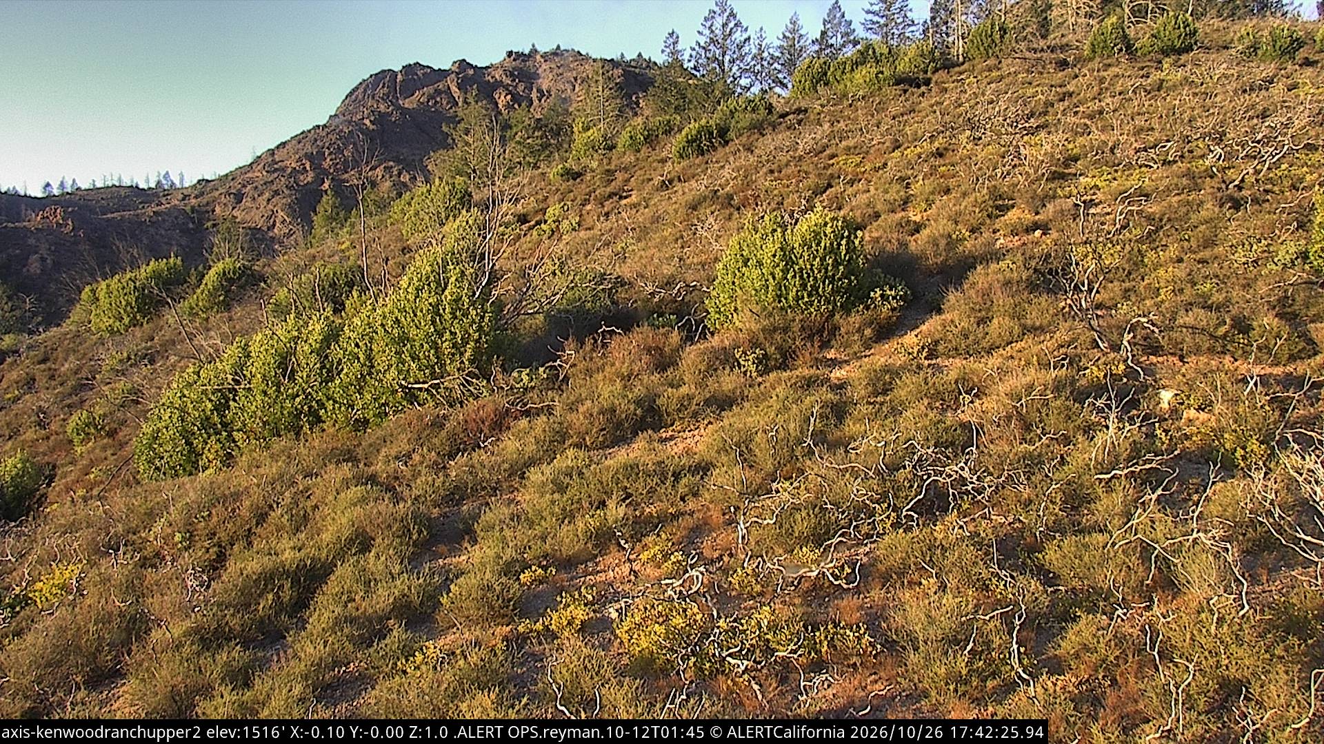
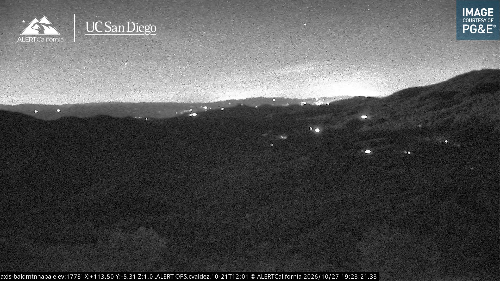
胡德山地區公園附近的网络摄像头
胡德山地區公園周边的历史
胡德山地區公園附近的城镇
- St. Helena9.4 公里外
- Calistoga14 公里外
- 圣罗莎14 公里外
- Agua Caliente16 公里外
- 罗内特帕克19 公里外
- Cotati20 公里外