三國山
701 米2,300 英尺
山 · 日本
Mount Mikuni is the name of three mountains in Gifu Prefecture, Japan. One of the mountains is on the border of Gifu and Aichi prefectures. Another mountain is on the border of Gifu and Nagano prefectures. The third mountain is located on the border of all three prefectures.
来自Wikipedia,CC BY-SA · 阅读文章
山顶 · 21:00 的预报
11 °C阴 · 东北风 2 km/h
 3D 查看
三國山山顶天气,701 米
- 21:0011 °C东北 2 km/h–
- 0:009 °C东北 8 km/h–
- 3:0010 °C东 9 km/h–
- 6:0010 °C东 4 km/h0.1 mm
- 9:0013 °C东北 6 km/h0.1 mm
- 12:0015 °C西 4 km/h0.5 mm
- 15:0015 °C东 7 km/h2.4 mm
- 18:0012 °C东南 7 km/h0.1 mm
| 日期 | 天气 | 最高 / 最低 | 雨 | 最大风速 |
|---|---|---|---|---|
| 10月30日周五 | 小雨 | 16 °C / 9 °C | 3.2 mm | 9 km/h |
| 10月31日周六 | 小雨 | 15 °C / 7 °C | 0.4 mm | 22 km/h |
| 11月1日周日 | 阴 | 12 °C / 5 °C | – | 8 km/h |
| 11月2日周一 | 中雨 | 13 °C / 6 °C | 7.8 mm | 6 km/h |
| 11月3日周二 | 少云 | 16 °C / 8 °C | – | 15 km/h |
| 11月4日周三 | 阴 | 13 °C / 6 °C | 0.6 mm | 6 km/h |
| 11月5日周四 | 晴 | 17 °C / 9 °C | – | 6 km/h |
预报来自 MET Norway(CC BY 4.0),更新于 GMT+9 14:22。时间均为当地时间。
基本信息
Mount Mikuni (Gifu)
Mountains in Gifu Prefecture, Japan
Mount Mikuni is the name of three mountains in Gifu Prefecture, Japan. One of the mountains is on the border of Gifu and Aichi prefectures. Another mountain is on the border of Gifu and Nagano prefectures. The third mountain is located on the border of all three prefectures. All three mountains are included in this article.
来自Wikipedia,CC BY-SA · 阅读文章
三國山附近的山峰
- Mount Ontake131 米 · 17 公里外地图上
- 尾張富士275 米 · 21 公里外地图上
- 小牧山86 米 · 25 公里外地图上
- 段戶山1,153 米 · 30 公里外地图上
- 金华山 (岐阜县)329 米 · 42 公里外地图上
- Mount Dodo418 米 · 42 公里外地图上
- 茶臼山1,415 米 · 42 公里外地图上
- 惠那山2,190 米 · 42 公里外地图上
- Mount Hongu789 米 · 44 公里外地图上
- Mount Takakura194 米 · 12 公里外地图上
日本最高的山
三國山附近的网络摄像头
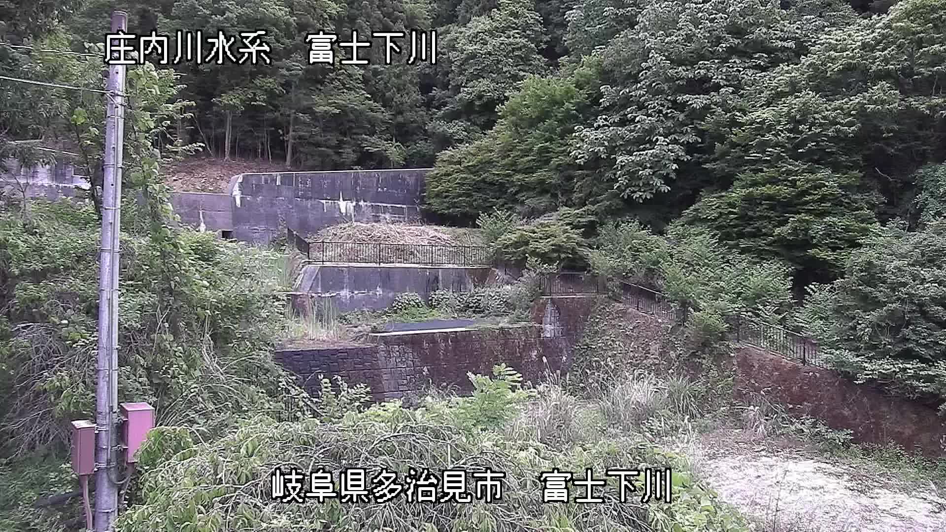
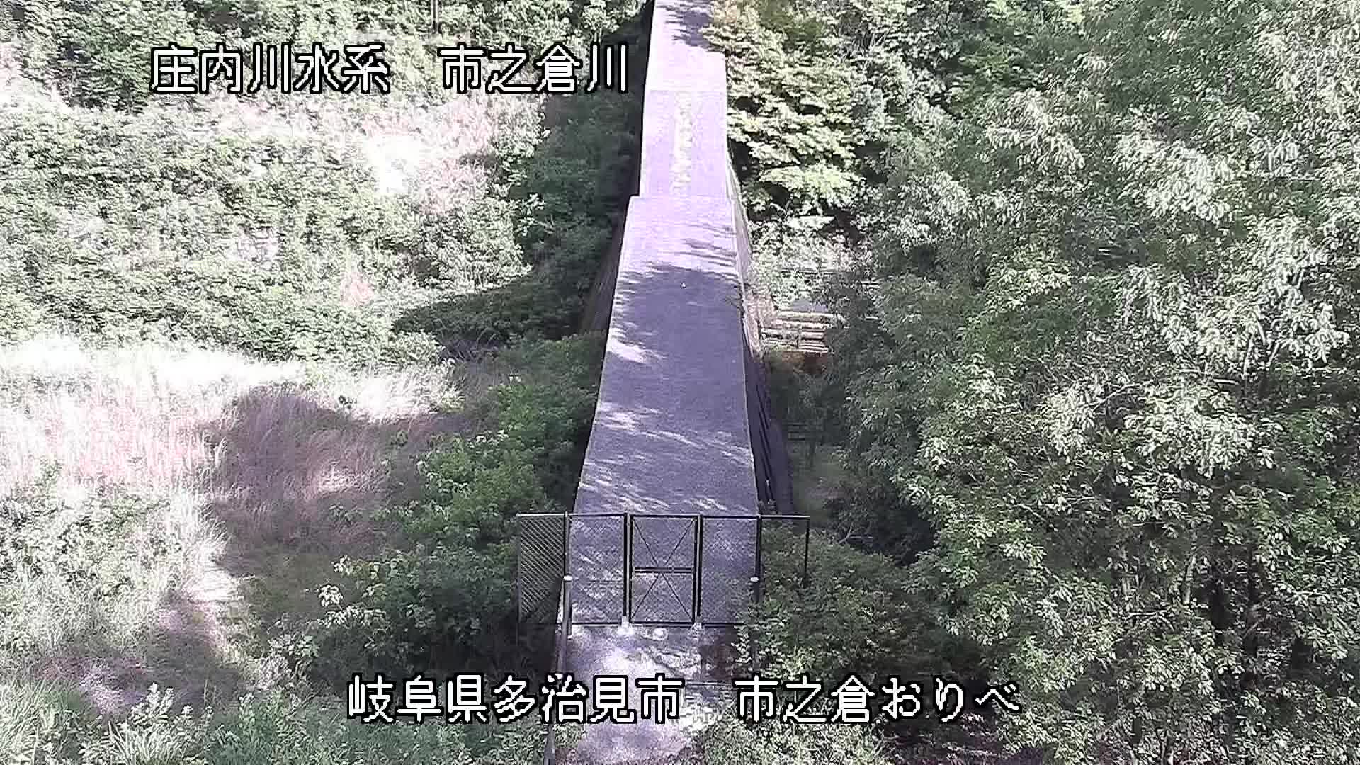
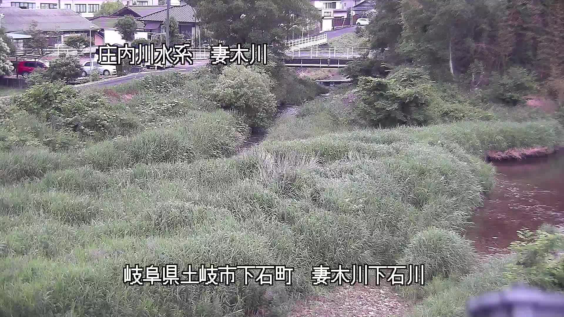
三國山周边的历史
- Battle of Komaki and Nagakute1584
- Expo 2005 opens in Aichi Prefecture2005
- 猿投ダンプ事故1966
- The 2012 FIFA Club World Cup is held in Japan and won by Sport Club Corinthians Paulista2012
- Spain's FC Barcelona win the final of the 2011 FIFA Club World Cup, beating Brazil's Santos 4-0 in Yokohama, Japan2011
- 豊田市女子高生殺害事件2008
- 長野・愛知4連続強盗殺人事件2004
- 豊田2人刺殺事件1995