日本的山
Mount Omuro
1,587 米5,207 英尺
山 · 丹澤山地 · 日本
Mount Ōmuro is a mountain at an altitude of 1,588 m on the border between Yamanashi and Kanagawa Prefectures in the northern part of the Tanzawa Mountains. It used to be called "Omureyama".
来自Wikipedia,CC BY-SA · 阅读文章
山顶 · 18:00 的预报
3 °C中雨 · 东北风 5 km/h
 3D 查看
Mount Omuro山顶天气,1,587 米
- 18:003 °C东北 5 km/h0.8 mm
- 21:002 °C北 3 km/h–
- 0:002 °C东南 3 km/h–
- 3:002 °C南 3 km/h–
- 6:001 °C东 4 km/h–
- 9:004 °C东南 5 km/h0.4 mm
- 12:005 °C南 8 km/h–
- 15:007 °C东南 8 km/h–
| 日期 | 天气 | 最高 / 最低 | 雨 | 最大风速 |
|---|---|---|---|---|
| 10月29日周四 | 阴 | 8 °C / 1 °C | 0.4 mm | 9 km/h |
| 10月30日周五 | 多云 | 14 °C / 2 °C | 0.2 mm | 10 km/h |
| 10月31日周六 | 小雨 | 12 °C / 4 °C | 2.3 mm | 8 km/h |
| 11月1日周日 | 阴 | 7 °C / -0 °C | 0.5 mm | 6 km/h |
| 11月2日周一 | 中雨 | 7 °C / 3 °C | 5.1 mm | 8 km/h |
| 11月3日周二 | 少云 | 10 °C / 4 °C | 1.3 mm | 10 km/h |
| 11月4日周三 | 阴 | 6 °C / 4 °C | 1.1 mm | 7 km/h |
预报来自 MET Norway(CC BY 4.0),更新于 GMT+9 14:21。时间均为当地时间。
基本信息
Mount Ōmuro (Tanzawa)
Mountain in the Tanzawa Mountains, Japan
Mount Ōmuro is a mountain at an altitude of 1,588 m on the border between Yamanashi and Kanagawa Prefectures in the northern part of the Tanzawa Mountains. It used to be called "Omureyama". It is counted as one of the 100 famous mountains in Yamanashi, and the Kanagawa side is designated as Tanzawa-Ōyama National Monument.
来自Wikipedia,CC BY-SA · 阅读文章
Mount Omuro附近的山峰
丹澤山地最高峰
- Doshi Mountains1,682 米地图上
- 蛭岳1,673 米地图上
- Mount Hinokiboramaru1,601 米地图上
- Mount Omuro1,587 米地图上
- 姬次1,433 米地图上
- Mount Komotsurushi1,379 米地图上
日本最高的山
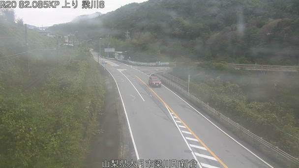
Mount Omuro附近的网络摄像头



Mount Omuro周边的历史
Mount Omuro附近的城镇
- Uenohara13 公里外
- 大月市15 公里外
- Tsuru15 公里外
- Sagamihara17 公里外
- Oyama18 公里外
- Kanaishima19 公里外