美国的山
Mount Soledad
824 英尺251 米
山 · 美国
Mount Soledad, also known as Soledad Mountain, is a prominent landmark in San Diego, California, United States. The mountaintop is the site of the Mount Soledad Cross.
来自Wikipedia,CC BY-SA · 阅读文章
山顶 · 21:00 的预报
66 °F晴 · 北风 10 英里/小时
 3D 查看
Mount Soledad山顶天气,824 英尺
- 21:0066 °F北 10 英里/小时–
- 0:0064 °F北 8 英里/小时–
- 3:0061 °F东北 6 英里/小时–
- 6:0058 °F东 5 英里/小时–
- 9:0065 °F东 4 英里/小时–
- 12:0071 °F西 7 英里/小时–
- 15:0070 °F西 11 英里/小时–
- 18:0067 °F西北 9 英里/小时–
| 日期 | 天气 | 最高 / 最低 | 雨 | 最大风速 |
|---|---|---|---|---|
| 10月27日周二 | 晴 | 71 °F / 57 °F | – | 11 英里/小时 |
| 10月28日周三 | 多云 | 70 °F / 57 °F | – | 9 英里/小时 |
| 10月29日周四 | 多云 | 69 °F / 62 °F | 0.02 英寸 | 8 英里/小时 |
| 10月30日周五 | 多云 | 66 °F / 63 °F | 0 英寸 | 6 英里/小时 |
| 10月31日周六 | 阴 | 66 °F / 62 °F | 0.35 英寸 | 5 英里/小时 |
| 11月1日周日 | 阴 | 68 °F / 60 °F | 0.14 英寸 | 5 英里/小时 |
| 11月2日周一 | 晴 | 74 °F / 61 °F | – | 6 英里/小时 |
预报来自 MET Norway(CC BY 4.0),更新于 GMT-7 16:19。时间均为当地时间。
基本信息
Mount Soledad附近的山峰
- North Fortuna Mountain1,291 英尺 · 18 公里外地图上
- Cowles Mountain1,594 英尺 · 21 公里外地图上
- Double Peak1,646 英尺 · 31 公里外地图上
- San Miguel Mountain2,566 英尺 · 34 公里外地图上
- McGinty Mountain2,182 英尺 · 38 公里外地图上
- El Cajon Mountain3,648 英尺 · 41 公里外地图上
- Otay Mountain3,491 英尺 · 47 公里外地图上
- Lyons Peak3,642 英尺 · 48 公里外地图上
- Viejas Mountain4,189 英尺 · 49 公里外地图上
- Whale Mountain (San Diego County, California)3,043 英尺 · 53 公里外地图上
美国最高的山
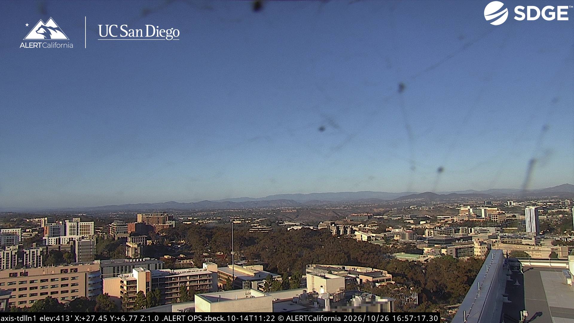
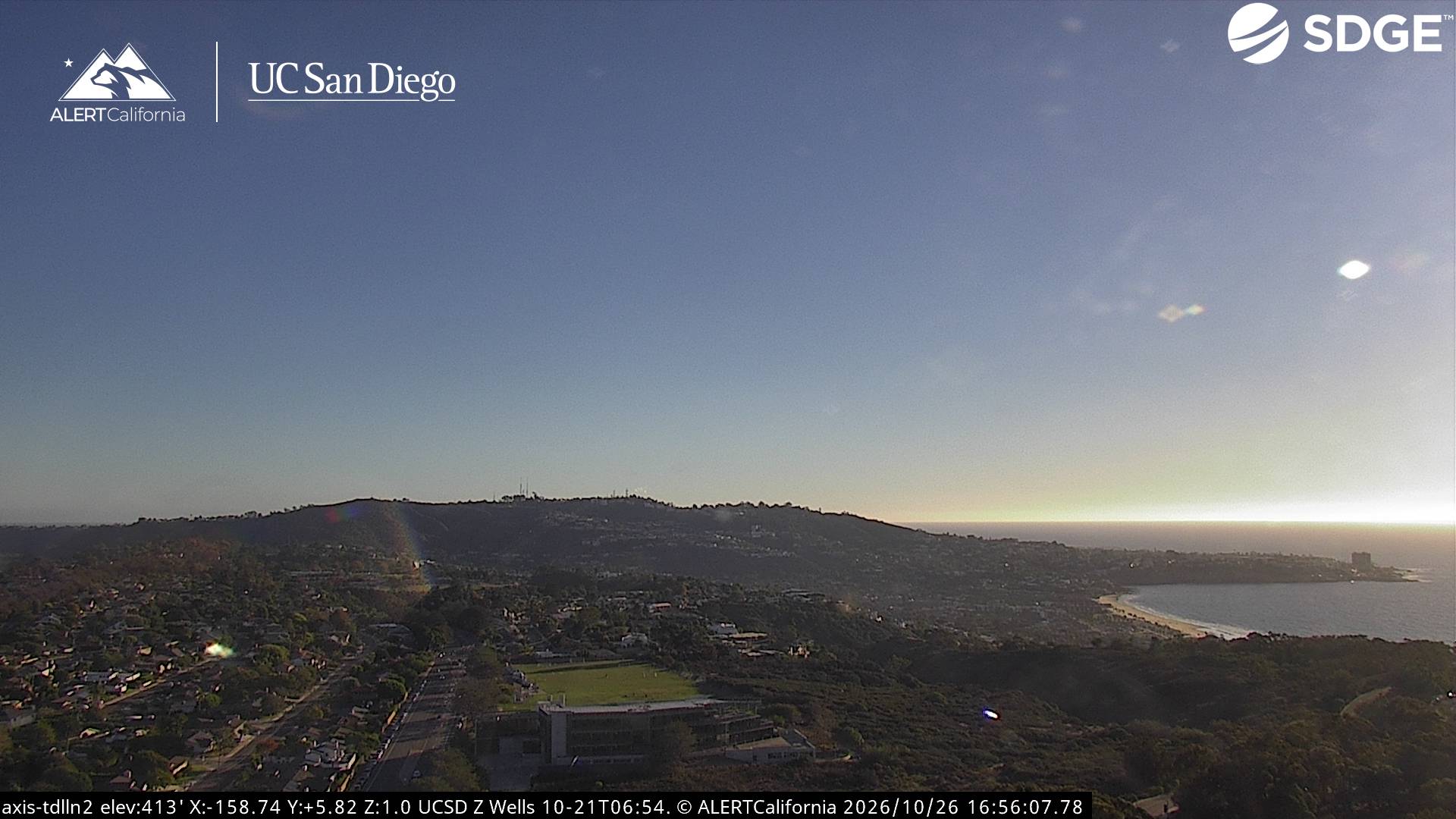
Mount Soledad附近的网络摄像头


Mount Soledad周边的历史
- Pacific Southwest Airlines Flight 1821978
- 2026 Islamic Center of San Diego shooting2026
- A Cessna Citation II crashes in San Diego, killing all six occupants of the aircraft2025
- 2008 San Diego F/A-18 crash2008
- Tiger Woods and Rocco Mediate will play in an 18-hole playoff to determine the winner of the 2008 U.S. Open Golf Championship2008
- San Diego State University shooting1996
- Bob Dole is nominated for President of the United States, and Jack Kemp for vice president, at the Republican National Convention in San Diego, California1996
- Normal Heights fire1985