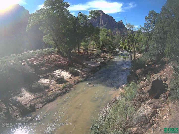
Mount Spry
5,758 英尺1,755 米
山 · 美国
Mount Spry is a small 5,720-ft elevation mountain summit made of Navajo Sandstone located in Zion National Park, in Washington County of southwest Utah, United States. Officially named in 1934, it honors William Spry (1864–1929), the third governor of Utah.
来自Wikipedia,CC BY-SA · 阅读文章
山顶 · 17:00 的预报
60 °F少云 · 西南风 8 英里/小时
 3D 查看
Mount Spry山顶天气,5,758 英尺
- 17:0060 °F西南 8 英里/小时–
- 20:0047 °F东北 3 英里/小时–
- 23:0041 °F东北 5 英里/小时–
- 2:0040 °F东 5 英里/小时–
- 5:0037 °F东 6 英里/小时–
- 8:0035 °F东 7 英里/小时–
- 11:0055 °F东 5 英里/小时–
- 14:0060 °F西南 6 英里/小时–
| 日期 | 天气 | 最高 / 最低 | 雨 | 最大风速 |
|---|---|---|---|---|
| 10月28日周三 | 晴 | 61 °F / 35 °F | – | 8 英里/小时 |
| 10月29日周四 | 多云 | 62 °F / 35 °F | – | 8 英里/小时 |
| 10月30日周五 | 大雨 | 50 °F / 43 °F | 1.21 英寸 | 8 英里/小时 |
| 10月31日周六 | 中雨 | 54 °F / 43 °F | 0.31 英寸 | 6 英里/小时 |
| 11月1日周日 | 大雨 | 47 °F / 39 °F | 1.12 英寸 | 6 英里/小时 |
| 11月2日周一 | 晴 | 47 °F / 32 °F | – | 8 英里/小时 |
| 11月3日周二 | 少云 | 50 °F / 27 °F | – | 4 英里/小时 |
预报来自 MET Norway(CC BY 4.0),更新于 GMT-6 11:17。时间均为当地时间。
基本信息
Mount Spry
Mountain summit in southwest Utah, US
Mount Spry is a small 5,720-ft elevation mountain summit made of Navajo Sandstone located in Zion National Park, in Washington County of southwest Utah, United States. Officially named in 1934, it honors William Spry (1864–1929), the third governor of Utah. The nearest higher peak is The East Temple, 0.34 miles (0.55 km) to the east.
来自Wikipedia,CC BY-SA · 阅读文章
Mount Spry附近的山峰
- Twin Brothers6,860 英尺 · 1.2 公里外地图上
- Bridge Mountain6,803 英尺 · 1.7 公里外地图上
- Mountain of the Sun6,716 英尺 · 1.8 公里外地图上
- Three Patriarchs7,014 英尺 · 1.8 公里外地图上
- The Sentinel7,136 英尺 · 1.9 公里外地图上
- Bee Hive6,886 英尺 · 2.1 公里外地图上
- Mount Moroni5,650 英尺 · 2.5 公里外地图上
- Deertrap Mountain6,837 英尺 · 2.6 公里外地图上
- Isaac Peak6,726 英尺 · 2.8 公里外地图上
- Abraham Peak7,014 英尺 · 3.1 公里外地图上