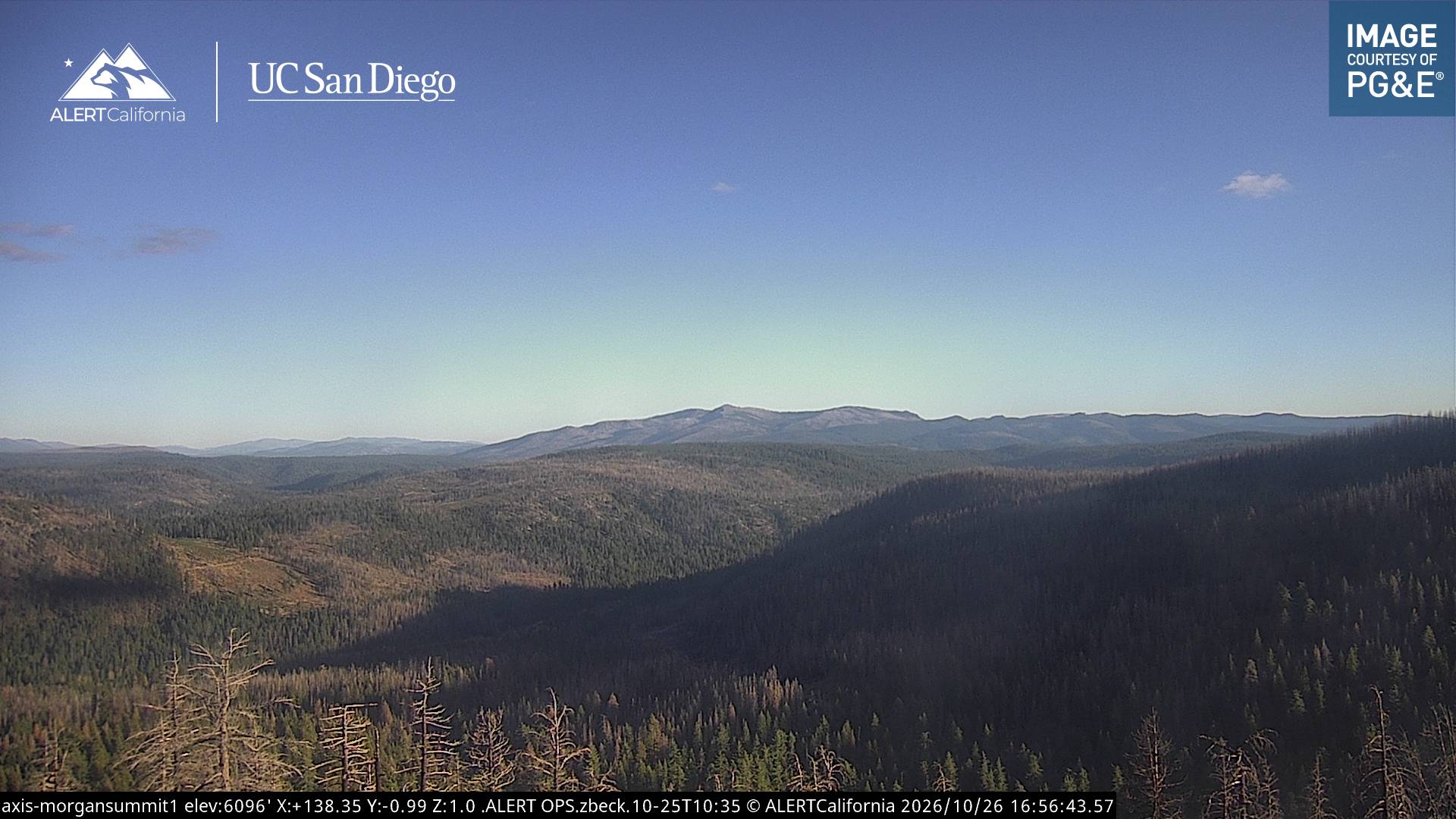
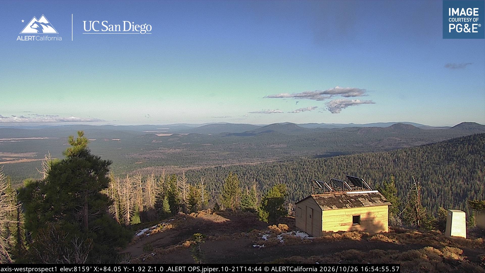
美国的山
Mount Tehama
9,239 英尺2,816 米
火山 · California Cascades · 美国
Mount Tehama is an eroded extinct andesitic stratovolcano in the Cascade Volcanic Arc and the Cascade Range in Northern California.
来自Wikipedia,CC BY-SA · 阅读文章
山顶 · 20:00 的预报
24 °F晴 · 东南风 4 英里/小时
 3D 查看
Mount Tehama山顶天气,9,239 英尺
- 20:0024 °F东南 4 英里/小时–
- 23:0024 °F南 4 英里/小时–
- 2:0023 °F南 4 英里/小时–
- 5:0022 °F南 5 英里/小时–
- 8:0023 °F南 5 英里/小时–
- 11:0031 °F西南 8 英里/小时–
- 14:0033 °F西 9 英里/小时–
- 17:0030 °F西 6 英里/小时–
| 日期 | 天气 | 最高 / 最低 | 雨 | 最大风速 |
|---|---|---|---|---|
| 10月27日周二 | 多云 | 34 °F / 20 °F | – | 9 英里/小时 |
| 10月28日周三 | 晴 | 42 °F / 19 °F | – | 7 英里/小时 |
| 10月29日周四 | 阴 | 38 °F / 24 °F | – | 8 英里/小时 |
| 10月30日周五 | 晴 | 33 °F / 22 °F | 0.02 英寸 | 9 英里/小时 |
| 10月31日周六 | 多云 | 28 °F / 18 °F | – | 10 英里/小时 |
| 11月1日周日 | 晴 | 38 °F / 16 °F | – | 6 英里/小时 |
| 11月2日周一 | 少云 | 48 °F / 23 °F | – | 6 英里/小时 |
预报来自 MET Norway(CC BY 4.0),更新于 GMT-7 18:17。时间均为当地时间。
基本信息
Mount Tehama
Eroded Andesitic stratovolcano in Northern California
Mount Tehama is an eroded extinct andesitic stratovolcano in the Cascade Volcanic Arc and the Cascade Range in Northern California. Part of the Lassen volcanic area, its tallest remnant, Brokeoff Mountain, is itself the second highest peak in Lassen Volcanic National Park and connects to the park's highest point, Lassen Peak.
来自Wikipedia,CC BY-SA · 阅读文章
有记录的喷发 6 次
Mount Tehama附近的山峰
- Bumpass Mountain8,757 英尺 · 5.4 公里外地图上
- 拉森火山10,463 英尺 · 6.6 公里外地图上
- Chaos Crags8,123 英尺 · 9.3 公里外地图上
- Cinder Cone and the Fantastic Lava Beds6,907 英尺 · 23 公里外地图上
- Twin Buttes5,340 英尺 · 37 公里外地图上
- Big Cave4,131 英尺 · 59 公里外地图上
- Brokeoff Mountain山 · 0 公里外地图上
- Mount Diller9,085 英尺 · 2.4 公里外地图上
- Diamond Peak7,968 英尺 · 3 公里外地图上
- Pilot Pinnacle山 · 3.4 公里外地图上
California Cascades最高峰
- 沙斯塔山14,180 英尺地图上
- Shastina12,335 英尺地图上
- 拉森火山10,463 英尺地图上
- Mount Tehama9,239 英尺地图上
- Crater Peak8,684 英尺地图上
- Loomis Peak8,658 英尺地图上
- Prospect Peak8,323 英尺地图上
- Mount Conard8,117 英尺地图上
- Diamond Peak7,968 英尺地图上