Mount Thayer
3,479 英尺1,060 米
山 · 聖塔克魯茲山脈 · 美国
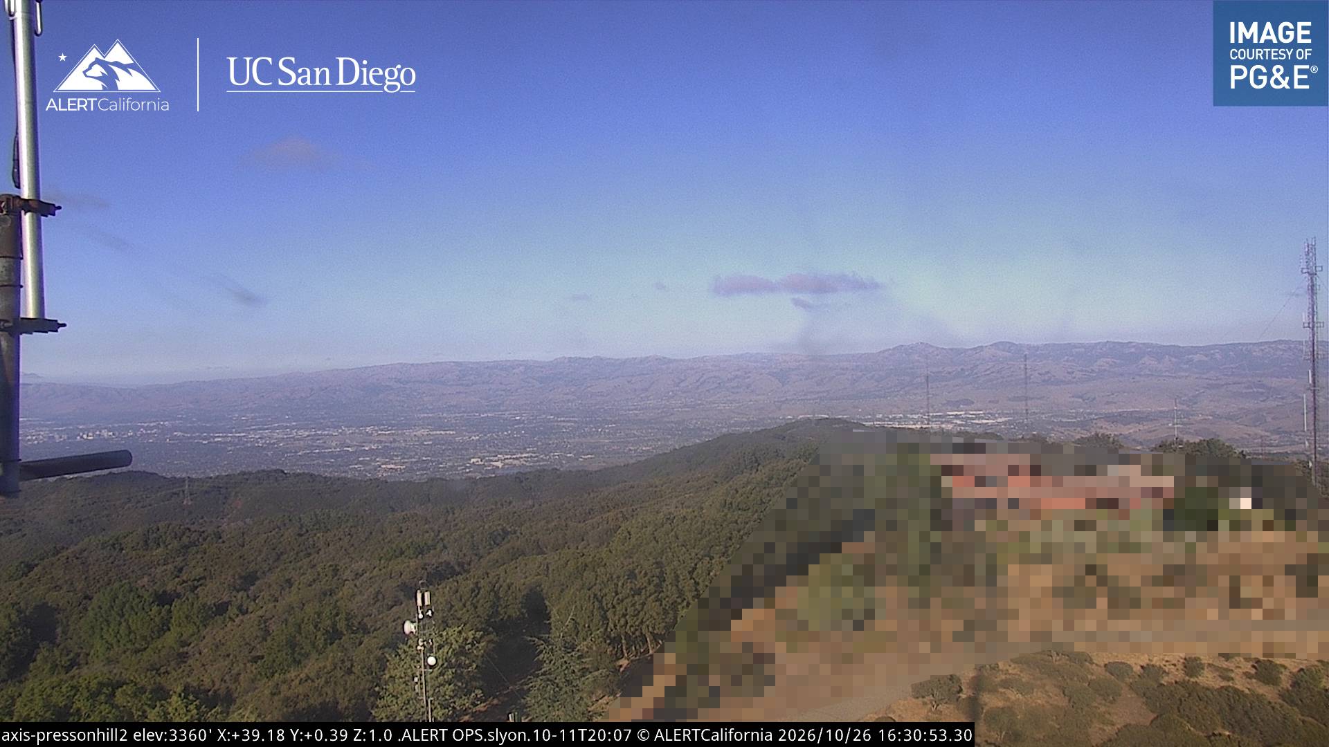
Mount Thayer is a mountain in the Santa Cruz mountain range located in Santa Clara County, California. The summit is in a section of the abandoned Almaden Air Force Station, 1.5 miles northwest of Mount Umunhum. The elevation of the summit is at 3,502 feet (1,067 m) feet.
来自Wikipedia,CC BY-SA · 阅读文章
山顶 · 2:00 的预报
40 °F雾 · 西北风 6 英里/小时
 3D 查看
Mount Thayer山顶天气,3,479 英尺
- 2:0040 °F西北 6 英里/小时–
- 5:0038 °F西 6 英里/小时–
- 8:0039 °F西 4 英里/小时–
- 11:0049 °F西北 6 英里/小时–
- 14:0054 °F北 5 英里/小时–
- 17:0054 °F北 6 英里/小时–
- 20:0044 °F西北 5 英里/小时–
- 23:0042 °F西北 4 英里/小时–
| 日期 | 天气 | 最高 / 最低 | 雨 | 最大风速 |
|---|---|---|---|---|
| 今天 | 阴 | 55 °F / 38 °F | – | 6 英里/小时 |
| 10月28日周三 | 多云 | 58 °F / 33 °F | – | 6 英里/小时 |
| 10月29日周四 | 多云 | 58 °F / 45 °F | – | 4 英里/小时 |
| 10月30日周五 | 晴 | 51 °F / 39 °F | – | 7 英里/小时 |
| 10月31日周六 | 阴 | 50 °F / 38 °F | – | 7 英里/小时 |
| 11月1日周日 | 晴 | 54 °F / 37 °F | – | 7 英里/小时 |
| 11月2日周一 | 晴 | 67 °F / 40 °F | – | 3 英里/小时 |
预报来自 MET Norway(CC BY 4.0),更新于 GMT-7 16:19。时间均为当地时间。
基本信息
Mount Thayer
Mountain in California, US
Mount Thayer is a mountain in the Santa Cruz mountain range located in Santa Clara County, California. The summit is in a section of the abandoned Almaden Air Force Station, 1.5 miles northwest of Mount Umunhum. The elevation of the summit is at 3,502 feet (1,067 m) feet. An old derelict building, surrounded by telephone poles, is located on the summit.
来自Wikipedia,CC BY-SA · 阅读文章
Mount Thayer附近的山峰
- 乌蒙洪山3,489 英尺 · 1.8 公里外地图上
- 洛馬普里塔3,789 英尺 · 8.9 公里外地图上
- Mount Chual3,562 英尺 · 9 公里外地图上
- Crystal Peak3,592 英尺 · 9.3 公里外地图上
- Tulare Hill620 英尺 · 16 公里外地图上
- Mount Bielawski3,234 英尺 · 17 公里外地图上
- El Toro1,427 英尺 · 22 公里外地图上
- Mount Madonna1,900 英尺 · 25 公里外地图上
- Black Mountain2,812 英尺 · 27 公里外地图上
- Lions Peak1,117 英尺 · 28 公里外地图上
聖塔克魯茲山脈最高峰
- 洛馬普里塔3,789 英尺地图上
- Mount Thayer3,479 英尺地图上
- Mount Bielawski3,234 英尺地图上
- Black Mountain2,812 英尺地图上
- Mount Madonna1,900 英尺地图上
- El Toro1,427 英尺地图上
- San Bruno Mountain1,319 英尺地图上