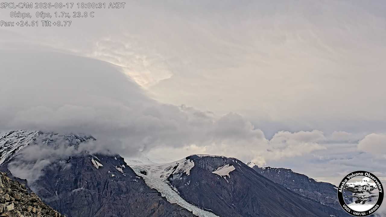
美国的山
Mount Torbert
11,266 英尺3,434 米
山 · 托德里洛山脈 · 美国
Mount Torbert is the highest point of the Tordrillo Mountains, a small, primarily volcanic range, northwest of Anchorage, Alaska. It is a heavily glaciated peak.
来自Wikipedia,CC BY-SA · 阅读文章
托德里洛山脈的最高点
山顶 · 16:00 的预报
5 °F雾 · 西北风 5 英里/小时
Mount Torbert山顶天气,11,266 英尺
- 16:005 °F西北 5 英里/小时–
- 19:001 °F西北 4 英里/小时–
- 22:004 °F西北 4 英里/小时–
- 1:003 °F西北 4 英里/小时–
- 4:005 °F西北 4 英里/小时–
- 7:007 °F西北 4 英里/小时–
- 10:008 °F西 4 英里/小时–
- 13:0013 °F西 4 英里/小时–
| 日期 | 天气 | 最高 / 最低 | 雨 | 最大风速 |
|---|---|---|---|---|
| 10月27日周二 | 晴 | 13 °F / 3 °F | – | 5 英里/小时 |
| 10月28日周三 | 多云 | 9 °F / 3 °F | 0.08 英寸 | 8 英里/小时 |
| 10月29日周四 | 中雪 | 8 °F / 3 °F | 0.78 英寸 | 5 英里/小时 |
| 10月30日周五 | 中雪 | 5 °F / 0 °F | 0.37 英寸 | 4 英里/小时 |
| 10月31日周六 | 中雪 | 0 °F / -4 °F | 0.19 英寸 | 3 英里/小时 |
| 11月1日周日 | 阴 | 1 °F / -6 °F | 0.01 英寸 | 2 英里/小时 |
| 11月2日周一 | 阴 | -5 °F / -7 °F | 0 英寸 | 2 英里/小时 |
预报来自 MET Norway(CC BY 4.0),更新于 GMT-8 15:20。时间均为当地时间。
基本信息
Mount Torbert附近的山峰
- Mount Chichantna10,892 英尺 · 11 公里外地图上
- 斯普爾火山11,070 英尺 · 15 公里外地图上
- 海斯火山9,147 英尺 · 26 公里外地图上
- Ch'akajabena Mountain7,530 英尺 · 28 公里外地图上
- Mount Nagishlamina山 · 3 公里外地图上
- The Rowel山 · 16 公里外地图上
- Mount Gerdine山 · 19 公里外地图上