瑞士的山
Oberaarrothorn
3,477 米11,407 英尺
山 · Finsteraarhorn-Oberaarhorn-Galmihorn Group · 瑞士
The Oberaarrothorn is a mountain of the Bernese Alps, on the border between the Swiss cantons of Valais and Bern. It is south of the Oberaarjoch, between the Fiescher Glacier and the Oberaar Glacier.
来自Wikipedia,CC BY-SA · 阅读文章
山顶 · 0:00 的预报
-12 °C雾 · 西风 5 km/h
 3D 查看
Oberaarrothorn山顶天气,3,477 米
- 0:00-12 °C西 5 km/h–
- 3:00-11 °C西北 5 km/h0.1 mm
- 6:00-9 °C西北 4 km/h–
- 9:00-8 °C西北 5 km/h–
- 12:00-5 °C西北 6 km/h–
- 15:00-5 °C西北 5 km/h–
- 18:00-10 °C西北 5 km/h–
- 21:00-14 °C西 7 km/h–
| 日期 | 天气 | 最高 / 最低 | 雨 | 最大风速 |
|---|---|---|---|---|
| 10月28日周三 | 少云 | -5 °C / -15 °C | 0.1 mm | 7 km/h |
| 10月29日周四 | 晴 | -3 °C / -13 °C | – | 5 km/h |
| 10月30日周五 | 晴 | -4 °C / -15 °C | – | 4 km/h |
| 10月31日周六 | 晴 | -3 °C / -16 °C | – | 2 km/h |
| 11月1日周日 | 晴 | -3 °C / -13 °C | – | 3 km/h |
| 11月2日周一 | 晴 | -6 °C / -15 °C | – | 6 km/h |
| 11月3日周二 | 少云 | -6 °C / -17 °C | – | 6 km/h |
预报来自 MET Norway(CC BY 4.0),更新于 GMT+1 20:17。时间均为当地时间。
基本信息
Oberaarrothorn附近的山峰
母峰
Finsteraarhorn-Oberaarhorn-Galmihorn Group最高峰
瑞士最高的山
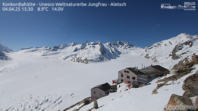
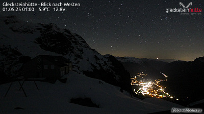
Oberaarrothorn附近的网络摄像头


Oberaarrothorn周边的历史
Oberaarrothorn附近的城镇
- Domodossola46 公里外
- Thun50 公里外
- Steffisburg51 公里外
- Sierre56 公里外
- Kriens57 公里外
- 利陶59 公里外