Pointe de Thivelet
1,231 米4,039 英尺
山 · 沙特勒斯山脉 · 法国
La Pointe de Thivelet is mountain culminating at 1231 m above sea level and located in the township of Corbel in Savoie. It is situated in the Chartreuse Mountains, which encompass more that 7000 square Km of protected natural areas.
来自Wikipedia,CC BY-SA · 阅读文章
山顶 · 0:00 的预报
7 °C阴 · 西北风 4 km/h
 3D 查看
Pointe de Thivelet山顶天气,1,231 米
- 0:007 °C西北 4 km/h–
- 3:007 °C西北 4 km/h–
- 6:007 °C西北 5 km/h0.3 mm
- 9:007 °C西北 6 km/h–
- 12:007 °C西北 9 km/h0.6 mm
- 15:008 °C北 12 km/h0.1 mm
- 18:005 °C西北 5 km/h–
- 21:004 °C北 3 km/h–
| 日期 | 天气 | 最高 / 最低 | 雨 | 最大风速 |
|---|---|---|---|---|
| 10月28日周三 | 小雨 | 8 °C / 3 °C | 1 mm | 12 km/h |
| 10月29日周四 | 多云 | 10 °C / 3 °C | – | 6 km/h |
| 10月30日周五 | 多云 | 11 °C / 2 °C | – | 7 km/h |
| 10月31日周六 | 晴 | 11 °C / 3 °C | – | 4 km/h |
| 11月1日周日 | 少云 | 9 °C / 2 °C | – | 6 km/h |
| 11月2日周一 | 阴 | 5 °C / -0 °C | – | 7 km/h |
| 11月3日周二 | 少云 | 6 °C / -1 °C | – | 5 km/h |
预报来自 MET Norway(CC BY 4.0),更新于 GMT+1 20:17。时间均为当地时间。
基本信息
Pointe de Thivelet
La Pointe de Thivelet is mountain culminating at 1231 m above sea level and located in the township of Corbel in Savoie. It is situated in the Chartreuse Mountains, which encompass more that 7000 square Km of protected natural areas. The mountain range is the gateway to the Alps from Lyon and is home to diverse animal populations in dense forest of conifers and deciduous trees.
来自Wikipedia,CC BY-SA · 阅读文章
Pointe de Thivelet附近的山峰
- Roc de Gleisin1,434 米 · 2.2 公里外地图上
- 皮內峰1,867 米 · 6.4 公里外地图上
- 大索姆山2,026 米 · 7.2 公里外地图上
- 格拉尼耶山1,933 米 · 8.7 公里外地图上
- Lances de Malissard2,045 米 · 11 公里外地图上
- Charmant Som1,867 米 · 13 公里外地图上
- 克羅勒峰2,062 米 · 14 公里外地图上
- 沙姆紹德峰2,082 米 · 17 公里外地图上
- 尼沃萊山1,558 米 · 25 公里外地图上
- Dent du Chat1,390 米 · 27 公里外地图上
沙特勒斯山脉最高峰
法国最高的山
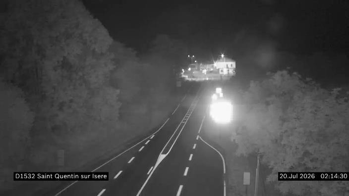
Pointe de Thivelet附近的网络摄像头


Pointe de Thivelet周边的历史
Pointe de Thivelet附近的城镇
- 尚贝里17 公里外
- 瓦龙20 公里外
- Saint-Égrève25 公里外
- 梅朗25 公里外
- Saint-Martin-d'Hères29 公里外
- Fontaine29 公里外