德国的山
Poppenberg
600 米1,969 英尺
山 · 哈爾茨山脈 · 德国
The Poppenberg is a tree-covered hill east of Ilfeld in the Harz mountains of Germany, at an elevation of 601 metres. Since 1897, there has been a 33-metre-high (108 ft) steel lattice observation tower on the summit.
来自Wikipedia,CC BY-SA · 阅读文章
山顶 · 10:00 的预报
9 °C多云 · 西南风 22 km/h
 3D 查看
Poppenberg山顶天气,600 米
- 10:009 °C西南 22 km/h–
- 13:0012 °C西南 20 km/h–
- 16:0011 °C南 17 km/h–
- 19:007 °C南 21 km/h–
- 22:006 °C西 21 km/h–
- 1:007 °C西 16 km/h1.2 mm
- 4:007 °C西北 12 km/h0.6 mm
- 7:007 °C西 13 km/h–
| 日期 | 天气 | 最高 / 最低 | 雨 | 最大风速 |
|---|---|---|---|---|
| 今天 | 少云 | 12 °C / 6 °C | – | 22 km/h |
| 10月28日周三 | 晴 | 11 °C / 3 °C | 1.8 mm | 18 km/h |
| 10月29日周四 | 阴 | 10 °C / 2 °C | 0.4 mm | 9 km/h |
| 10月30日周五 | 阴 | 9 °C / 5 °C | 0.1 mm | 5 km/h |
| 10月31日周六 | 少云 | 9 °C / 3 °C | – | 9 km/h |
| 11月1日周日 | 多云 | 10 °C / 1 °C | – | 8 km/h |
| 11月2日周一 | 多云 | 9 °C / 4 °C | – | 12 km/h |
预报来自 MET Norway(CC BY 4.0),更新于 GMT+1 00:19。时间均为当地时间。
基本信息
Poppenberg (Harz)
The Poppenberg is a tree-covered hill east of Ilfeld in the Harz mountains of Germany, at an elevation of 601 metres. Since 1897, there has been a 33-metre-high (108 ft) steel lattice observation tower on the summit. The tower was built by the Nordhausen branch of the Harz Club and was named after Otto, Prince of Stolberg-Wernigerode.
来自Wikipedia,CC BY-SA · 阅读文章
Poppenberg附近的山峰
- Kohnstein335 米 · 8.3 公里外地图上
- 大奥尔山580 米 · 12 公里外地图上
- Kapitelsberg536 米 · 14 公里外地图上
- Jagdkopf603 米 · 16 公里外地图上
- Rauher Jakob569 米 · 17 公里外地图上
- Bockberg496 米 · 19 公里外地图上
- Hasselkopf612 米 · 20 公里外地图上
- Ravensberg659 米 · 21 公里外地图上
- Barenberg696 米 · 21 公里外地图上
- Kleiner Winterberg837 米 · 23 公里外地图上
哈爾茨山脈最高峰
- 布罗肯峰1,141 米地图上
- Renneckenberg929 米地图上
- Quitschenberg882 米地图上
- Auf dem Acker865 米地图上
- Schalke762 米地图上
- Bocksberg725 米地图上
- Wolfsklippen722 米地图上
- Stöberhai719 米地图上
- Poppenberg600 米地图上
德国最高的山
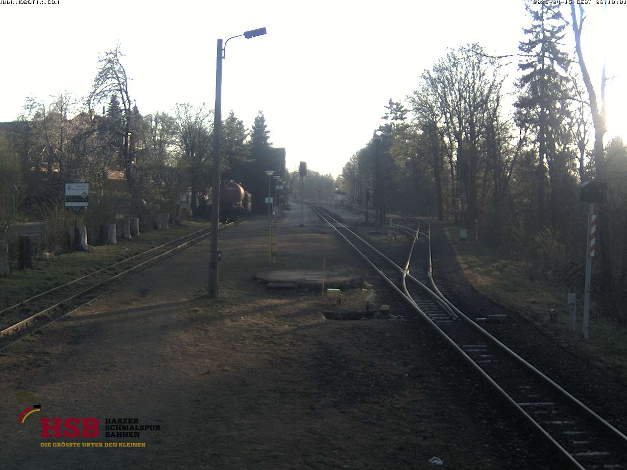
Poppenberg附近的网络摄像头



Poppenberg附近的城镇
- Nordhausen9.8 公里外
- Blankenburg24 公里外
- Sondershausen24 公里外
- Wernigerode28 公里外
- Quedlinburg31 公里外
- Sangerhausen35 公里外