Rabbit Peak
山 · 美国
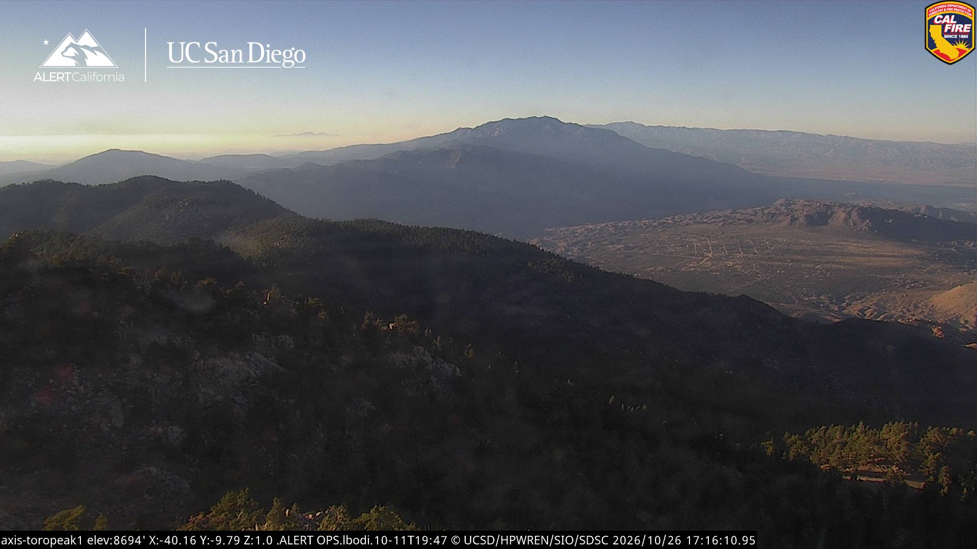
Rabbit Peak is a mountain in the southern part of the Santa Rosa Mountains in the Peninsular Ranges in California. It is located in Riverside County in the Santa Rosa and San Jacinto Mountains National Monument near the border of San Diego County and Anza-Borrego Desert State Park. It has an elevation of 6,653 feet.
来自Wikipedia,CC BY-SA · 阅读文章
山顶 · 23:00 的预报
53 °F晴 · 西北风 6 英里/小时
 3D 查看
Rabbit Peak天气预报
- 23:0053 °F西北 6 英里/小时–
- 2:0051 °F西北 7 英里/小时–
- 5:0050 °F北 7 英里/小时–
- 8:0051 °F东北 6 英里/小时–
- 11:0060 °F东南 4 英里/小时–
- 14:0064 °F东南 7 英里/小时–
- 17:0062 °F东南 5 英里/小时–
- 20:0057 °F西 5 英里/小时–
| 日期 | 天气 | 最高 / 最低 | 雨 | 最大风速 |
|---|---|---|---|---|
| 10月27日周二 | 晴 | 64 °F / 48 °F | – | 7 英里/小时 |
| 10月28日周三 | 多云 | 63 °F / 47 °F | – | 7 英里/小时 |
| 10月29日周四 | 阴 | 60 °F / 50 °F | – | 5 英里/小时 |
| 10月30日周五 | 晴 | 58 °F / 45 °F | – | 4 英里/小时 |
| 10月31日周六 | 多云 | 55 °F / 41 °F | 0.15 英寸 | 3 英里/小时 |
| 11月1日周日 | 阴 | 50 °F / 44 °F | 0.17 英寸 | 2 英里/小时 |
| 11月2日周一 | 晴 | 60 °F / 47 °F | – | 4 英里/小时 |
预报来自 MET Norway(CC BY 4.0),更新于 GMT-7 18:17。时间均为当地时间。
基本信息
Rabbit Peak
Mountain in California, US
Rabbit Peak is a mountain in the southern part of the Santa Rosa Mountains in the Peninsular Ranges in California. It is located in Riverside County in the Santa Rosa and San Jacinto Mountains National Monument near the border of San Diego County and Anza-Borrego Desert State Park. It has an elevation of 6,653 feet. It is located 14 miles northeast of Borrego Springs and 20 miles south of Indio.
来自Wikipedia,CC BY-SA · 阅读文章
Rabbit Peak附近的山峰
- Coyote Mountain3,192 英尺 · 13 公里外地图上
- Toro Peak8,717 英尺 · 20 公里外地图上
- Hot Springs Mountain6,536 英尺 · 34 公里外地图上
- Buried Mountain1,472 英尺 · 43 公里外地图上
- Tahquitz Peak8,846 英尺 · 54 公里外地图上
- 帕洛马山6,142 英尺 · 56 公里外地图上
- 圣哈辛托峰10,833 英尺 · 59 公里外地图上
- Martinez Mountain山 · 17 公里外地图上
- Santa Rosa Mountain山 · 24 公里外地图上
- Asbestos Mountain山 · 30 公里外地图上